
We were a team of 7 doing Mount Lincoln from Mildred Lakes. Mildred Lakes trail was pleasantly easy to follow this time. We didn't get off trail till intentionally bushwhacking across to the head of lower Mildred to cut down on miles. The snow was firm and patchy starting around 3200ft of elevation. The trail to upper Mildred was a bit harder to read, but we eventually made are way over the creek and to the lake. If I'm remembering correctly, that was 4 of 4 creek crossings all of which could have consequences if one were to fall of the downed trees used for the crossing.
Lakeside and up the way 50 yards were enough established campspots to comfortably house 7 tents and a community kitchen. There was some patches of snow around the lake, but plenty of dirt and rock to setup on as well.
We started our ascent at 5am to utilize daylight and whatever firmness the colder air of the night provided for the snow. There are a series of benches that you can use to traverse the lake to the base of Lincoln if you ascend pretty quickly after crossing the 2 upper Mildred lakes. Currently there is a nice covering of consolidated snow on what is otherwise boulder fields. Not sure that snow will be around much longer, but certainly made easy going for this trip. There is a fairly open valley at the bottom of Lincoln apron 4450 elevation, from there we ascended to the ridge line just to the southeast of the peak. Once on the Ridgeline (approx 5000ft elevation), we geared up for the snowfield and couloir ahead. There is a bit of a sketchy pass from the ridge line to the snowfield, but the snow was firm and made for a reasonably comfortable transition. The snow field to couloir is a moderate trudge up.
At the base of the couloir we discussed our team approach and agreed on a running belay system with 2 rope teams of 4 and 3. We left the pickets in place as we knew we would use them on the descent. There are 2 serious hazards to contend with in the couloir. The first is some exposed rock at the base of the couloir. On its own, easy enough to avoid on the approach. However, the fall line would funnel any falling climber directly into that band of rocks. The second is near the top of the couloir, where this years snow is melting back from the permanent snow finger in the couloir. There is a pretty deep (8ft?) hole and snow bridge that connects the perma-snow to the remaining 20 ft of snow to the very top of the couloir.
After the couloir there is an easy class 3 maybe 4 scramble up a gully to get on the summit block. One needs to go south on the snow around the summit till you see a gully with some trees and some pink flagging. We took off our crampons and scrambled up the gully to the summit ridge. From there it's an obvious, but careful climb and squeeze through some rocks to get to the summit.
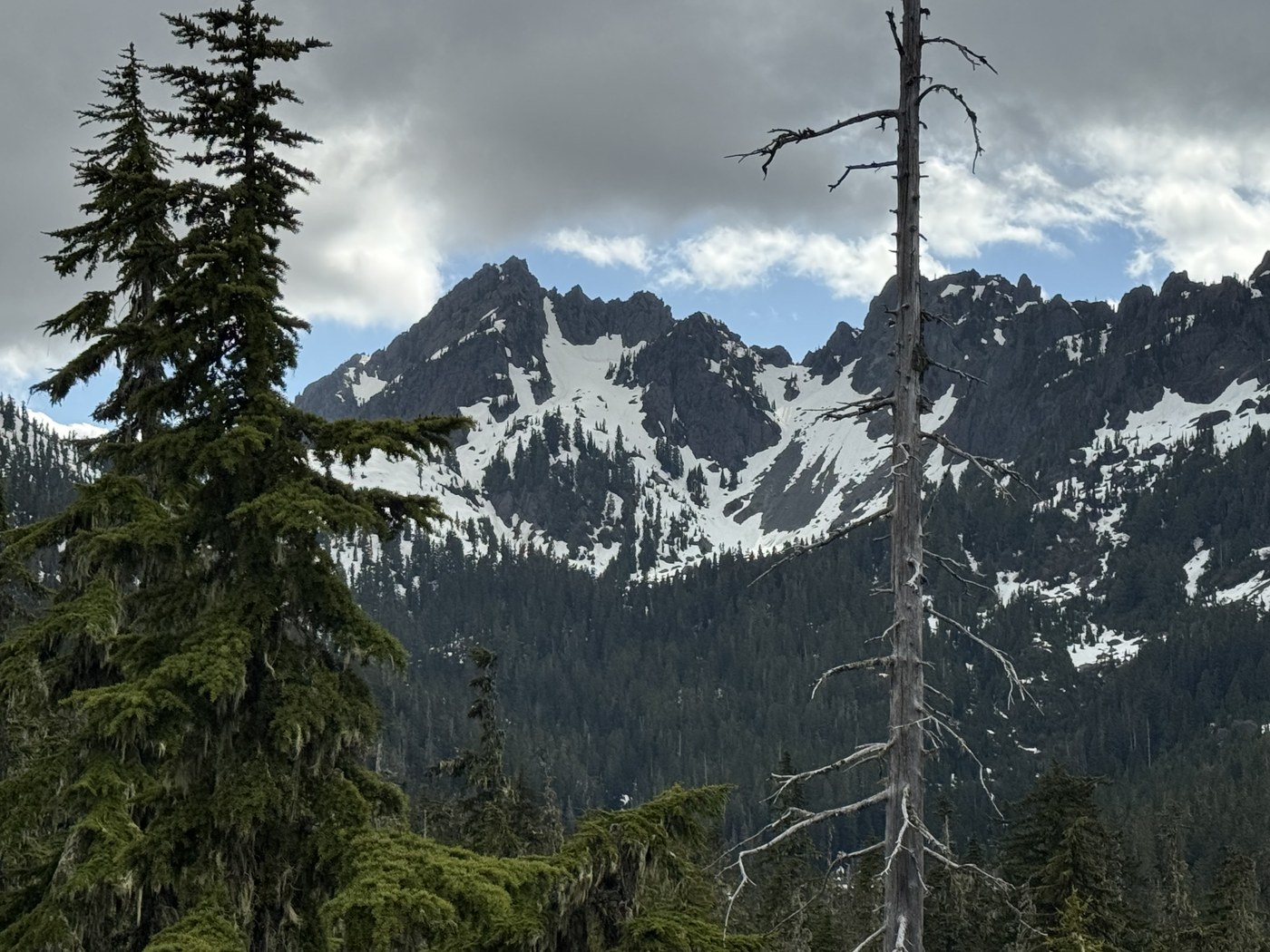
We were absolutely blessed with spectacular weather and views from the peak. Great day, super fun climb, hard to beat conditions. With all the heat coming in the next couple days, that route will be much harder with the snow melting out.
Comments