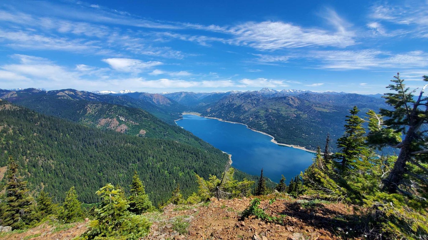
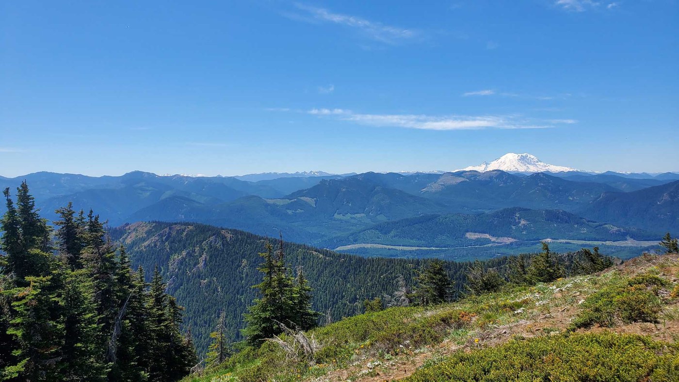
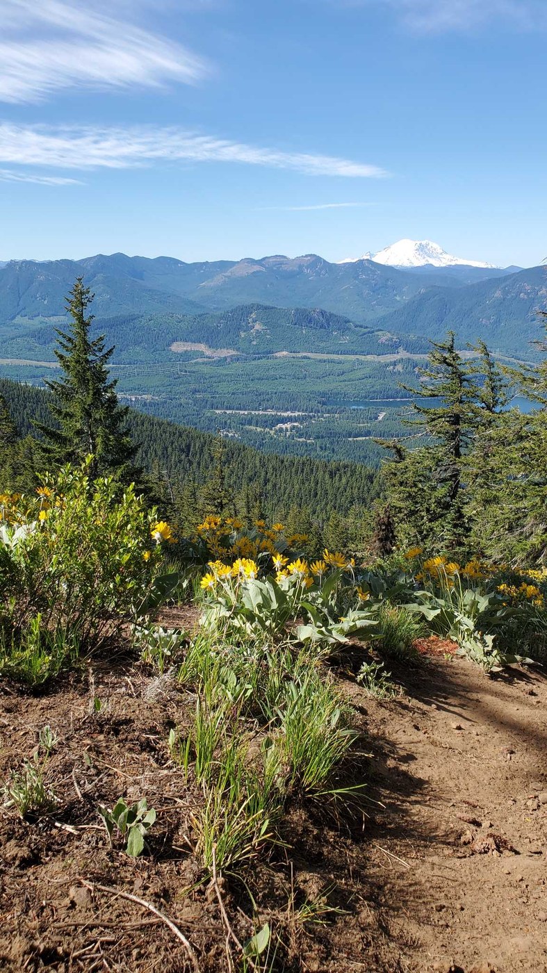
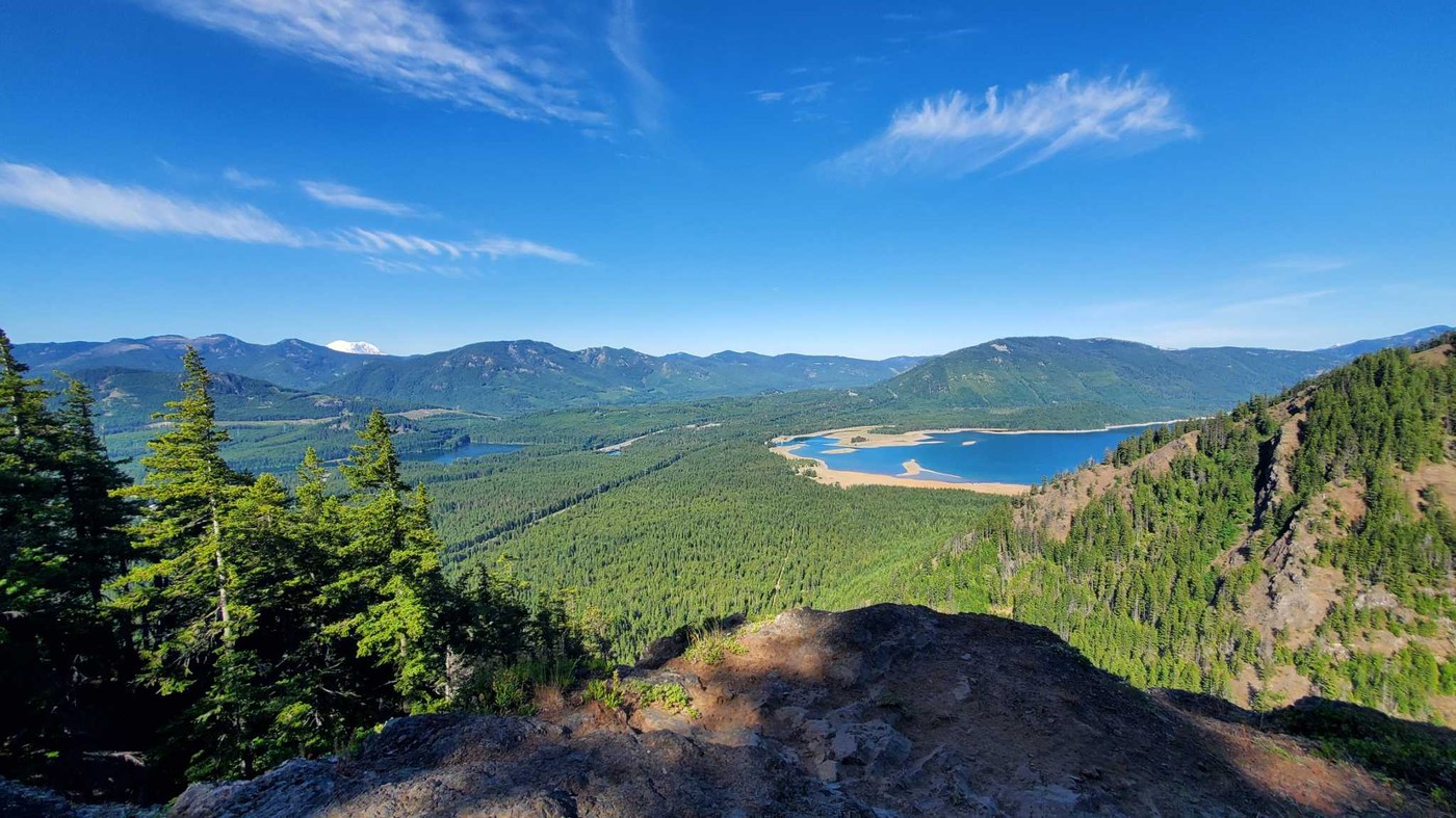
Beautiful views all along the ascent and at the summit. Descent is treacherous on steep trail with loose surface.
There were about 10 other cars in the lot when we arrived around 8:00 a.m. on Saturday. There are no bathrooms at the trailhead.
The first mile and a half after you pass in front of the waterfall switchbacks upward at a moderate grade. The sun hadn't crested over the ridge above us yet, so this stretch was cool and manageable. We gradually saw more and more of Lake Kachess below and Mt. Rainier to the south. We stopped at the scenic viewpoint for a snack break and to savor the last truly flat bit of trail. The WTA description is accurate about how steep this trail is. It was fine on the way up, but as we were ascending, we began to worry about our descent. More on that later.
The views are stunning the whole way up the trail, and we contemplated turning around early because it was getting quite hot. Once we were on the ridgeline between the "pass" to the summit, we had shade, new views to the north, and beautiful wildflowers. This is also where the bugs were most bothersome, but they didn't bite us as we walked. The final pitch to the summit is steep but mercifully short compared to what we had already done. It took us about 3 hours to get there with plenty of stops to question our life choices and have lunch.
On the way down, I was very grateful for my trekking poles. The trail surface is all loose dirt and rock, so it doesn't make for very good footing. After I fell a couple of times, I gave in and went down on my butt. I am not sure how anyone could descend some of the particularly steep stretches while remaining upright. The sun was now fully over the ridgeline and beating down on us, so the ground was hot on my hands. Eventually, we made it back to the flat stretch and then quickly descended via the first set of switchbacks.
The main trailhead parking was nearly empty when we left, but there were a dozen or more cars parked along the road.


Comments