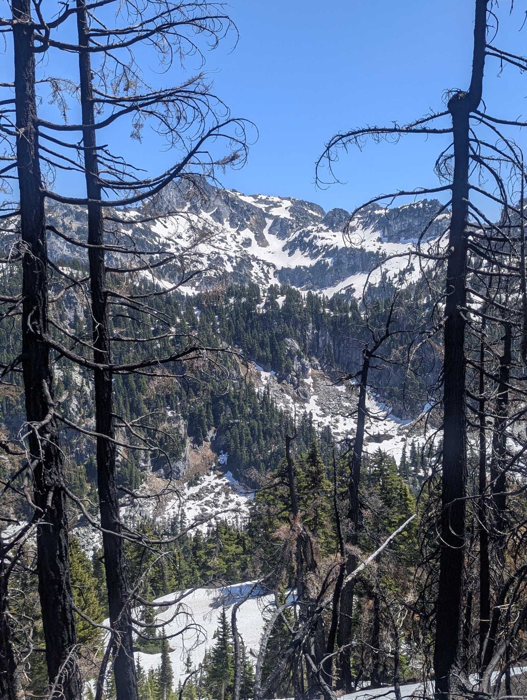
It's around 7 miles and 4500ft up to get to the Ridgeline. Took me 3 hours exactly getting to the top and 2 hours coming down. Zero water on the route.
NOTE: GAIA's track of this trail is dead wrong almost all the way up. Don't rely on it.
Trail conditions: Rough for the first mile, then when you hit the forest proper it's easy to follow. The burn begins around 5000 ft, and surprisingly, it wasn't too hard to follow the trail to the top.
Intermittent snow begins at 5200ft or so, but can be avoided by staying in the burned area and going directly uphill (steep).
I was here to look for burn morels from the fire by the pass, but I was either too late (bloody hot recently), or the fire was too intense (looked really intense). No luck.
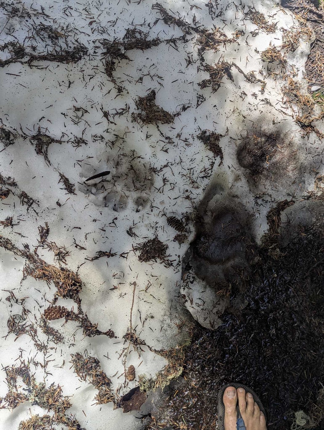
Massive blond black-bear in heat at around 4800ft
In short: a good training trail to get in shape, no water, no views until the top, but still a pleasant trail. The trail is in fine shape if you are willing to routefind a bit.


Comments
GeorgeW on Sulphur Mountain
I have spent quite a bit of time helping on Sulphur Mt trail after the fires. In response to the note about GAIA’s track being unreliable, in my GAIA app the track changes depending on the overlay choice. If I choose either the Forest Service (2016) overlay or the USGS overlay the track is very incorrect, but when I choose the GAIA Topo (feet) overlay the track is correct. Older USGS maps and Forest Service maps are correct, but something went wrong in their newer versions. Both Green Trails and Gaia use actual GPS tracks on some of their maps and these newer versions using those are reliable.
Posted by:
GeorgeW on Jun 11, 2025 08:01 AM