On a bright and sunny Wednesday, June 11, led by veteran hiker George, ten senior hikers set out for Little Saint Helens. We took Exit 47 off I-90, where we turned right and crossed a bridge over the South Fork Snoqualmie River. A word of caution: there’s a deep hole at the end of the pavement—drive carefully. We then turned right onto NF-55 (Tinkham Road), a stretch notorious for its potholes. After 1.3 bumpy miles, we turned left onto NF-5510. Although a “ROAD CLOSED” sign greeted us, it appeared to be a leftover from a 2024 logging operation. We proceeded anyway, the road beyond the sign was graded and smooth. After 3.6 pleasant miles, we arrived at the Hansen Creek Trailhead around 9:10 a.m.
Our hike began on the Hansen Ridge Trail, which ascended gently along the east side of Hansen Ridge. The trail offered mountain views and an array of wildflowers including stream violet, red elderberry, bleeding heart, dwarf bramble, broadleaf lupine, beargrass, thimbleberry, and salmonberry.
At approximately 2.3 miles in, we reached a signed junction and took a sharp right onto the Harris Lake Trail. After about 0.3 miles, we turned left onto the unofficial Little Saint Helens Trail, marked only by a piece of orange tape tied to a tree stump. Unlike the well-maintained Hansen Ridge Trail, this path is unmaintained and can be hard to follow in spots.
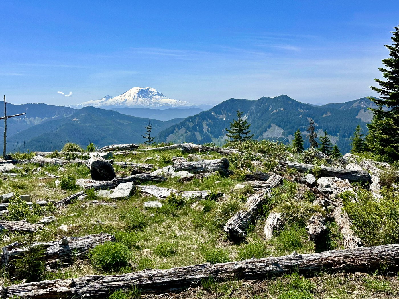
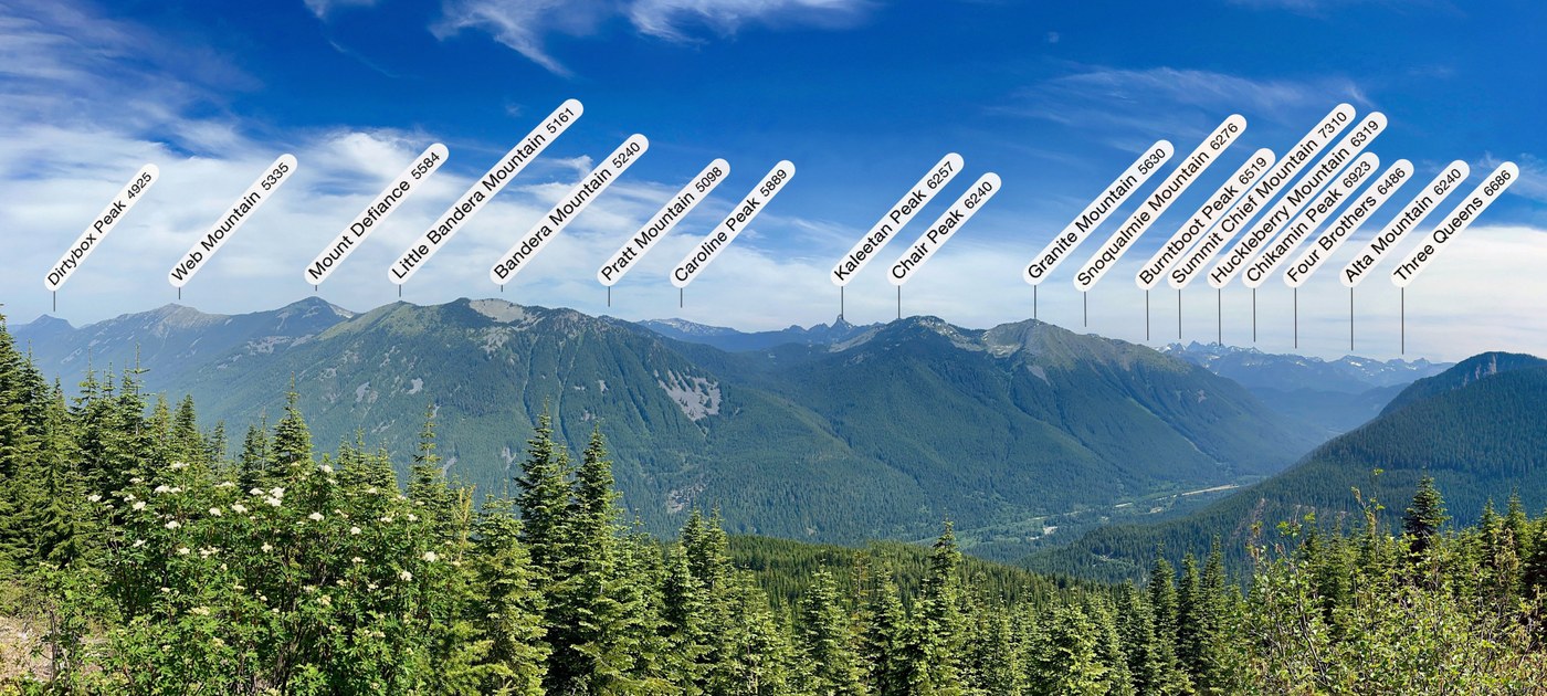
Roughly 0.2 miles in, we reached a viewpoint offering a fantastic panoramic look at the mountains across I-90. Climbing higher, we were rewarded with a stunning view of Mount Rainier. Soon, we reached a junction offering two options: the north viewpoint or the south viewpoint, also known as Little Saint Helens. We continued to the south viewpoint.
We arrived at the south viewpoint just around noon. There, among a pile of fallen trees, someone had placed a cross. One of our hikers shared that the late Ralph Owen, our hiking guru, had said the site was named “Little Saint Helens” because the jumbled logs resembled the debris fields near Mount Saint Helens following the 1980 eruption.
After lunch and snacks, we lingered a while to enjoy the cool breeze and the magnificent view of Mount Rainier before retracing our steps back to our cars
Our GPS track is in the link below.
Stats:
Distance: 7.4 miles
Elevation Gain: 1,370ft
Highest Point: 4,500ft (The high point before the Little Saint Helens)
Total Time: 5h 26m
Moving Time: 4h 02m


Comments