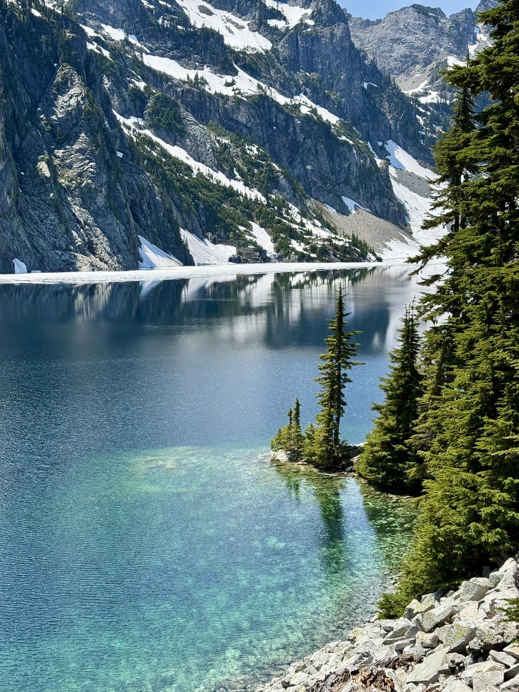
Decided to try out this longer approach to Snow Lake off a recent trip report. Ended up being a long day but the lake, as always, was stunning!
Road/Trailhead: Serious potholes both before and after the bridge heading towards the Dingford Creek turnoff. From this point on, the road is pretty rough and a couple of washouts makes me lean towards high clearance vehicles. We mostly saw SUVs and trucks both alongside the road dispersed camping and at the trailhead. There were about a dozen cars parked when we arrived a bit before 9am. Several trails start from here, so lots of options.
Trailhead to Rock Creek: You start downhill on the Middle Fork trail crossing over the bridge before continuing on. The trail is in good condition all the way up to the junction with the Rock Creek trail. There are some overgrown sections where it’s easy to trip on something hidden. We encountered 4 trail runners on this section of trail but were otherwise alone.
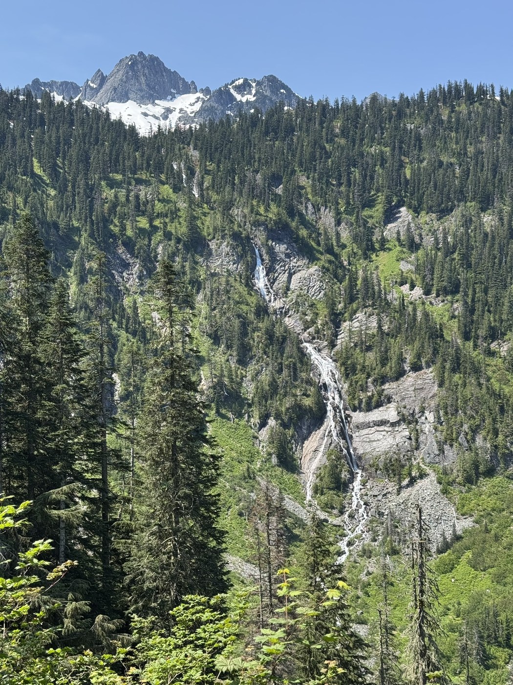
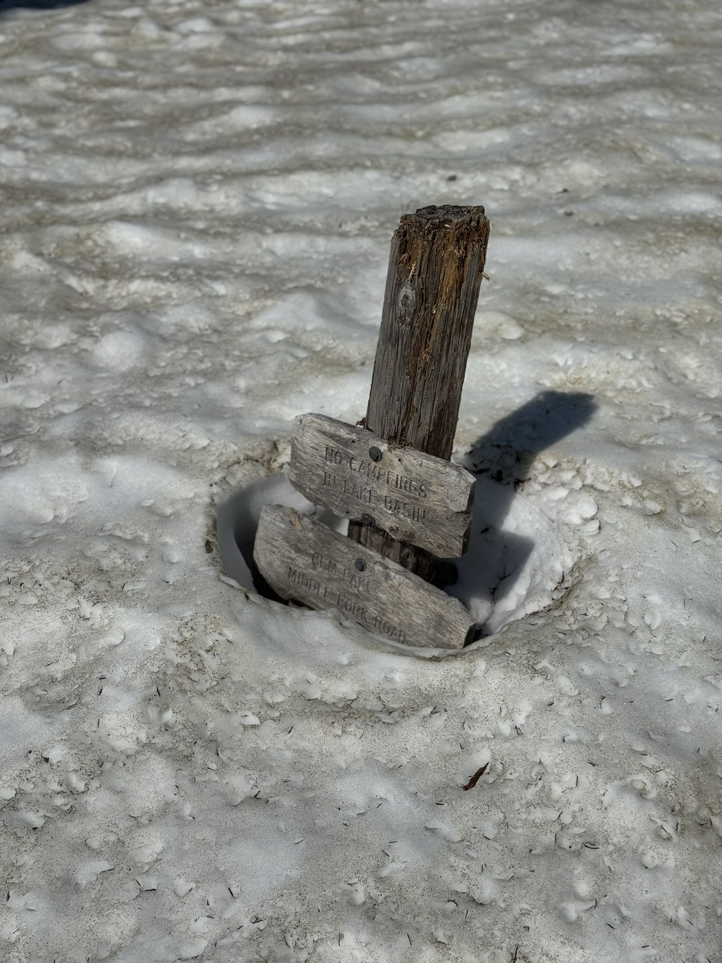
Rock Creek to Snow Lake: The first couple of miles are pretty standard trail. Not a ton of rocks or much else to report. Once the waterfall comes into view, the trail changes and becomes more rough. Rocky, overgrown, narrow and even some erosion categorize this section of trail. More than anything, it makes the hiking slow as you are having to be careful of foot placement to avoid rolling an ankle. As the previous report mentioned, there is some snow to contend with in the last 0.5 mile or so. The first three sections are all easily managed. The last one is the steepest and gave us the most trouble. I was able to carefully make it up to the trail but my partner slid a few feet and had to grab a branch to get back up. We bushwhacked through some plants to make it to the trail. From there it’s maybe 0.10 to the lake overlook and more snow can be found there. We stopped for lunch at one of the campgrounds and were harassed by bugs (flies and gnats, I think). Though we wanted to go down to the lakeshore, it didn’t seem worthwhile as many directions still had snow and we were pretty tired. Ended up glissading down that snow patch coming back which was much more enjoyable. Filtered water a couple of times and probably ended up going through 4 liters each thanks to lots of exposed sections going up and down.
Garmin tracked 15.7 miles and 3,816 feet of gain
Trip Report
Snow Lake, Middle Fork Snoqualmie River & Rock Creek — Sunday, Jun. 15, 2025
 Snoqualmie Region > Snoqualmie Pass


Comments