Don’t be confused by the fact I’m uploading this trip report to the website of Washington Trails Association. After the first half mile of your journey, when the way towards Morning Star breaks off from the official trail on the banks of the Stillaguamish, you won’t spend more than a few more minutes on anything like a trail.
Every step of our trip up Morning Star involved some level of adventure. We crossed back and forth across the Stillaguamish 4 times, including twice back-to-back in the vicinity of the House of Rock. We continued upstream instead of attempting the ledges because we could see they were totally snow-free and would make for a hellacious bushwhack. (We ran into one other person on our route who told us he had spent two hours trying to make the ledges route go and eventually gave up.)
We eventually made our way to the gully used by Susan Shih’s June 20, 2021 expedition (see entry on Peakbagger). Even though we were scarcely one week later according to the Gregorian calendar, this year’s snowpack meant the gully is mostly devoid of snow. Climbing the steep wet rock without the solid layer of snow visible in her pictures looked difficult-to-impossible, so we bushwhacked uphill on the cliffs above the (climber’s) right side of the gully. Our route, if you can call it that, was only made possible by nearly continuous veggie belays.
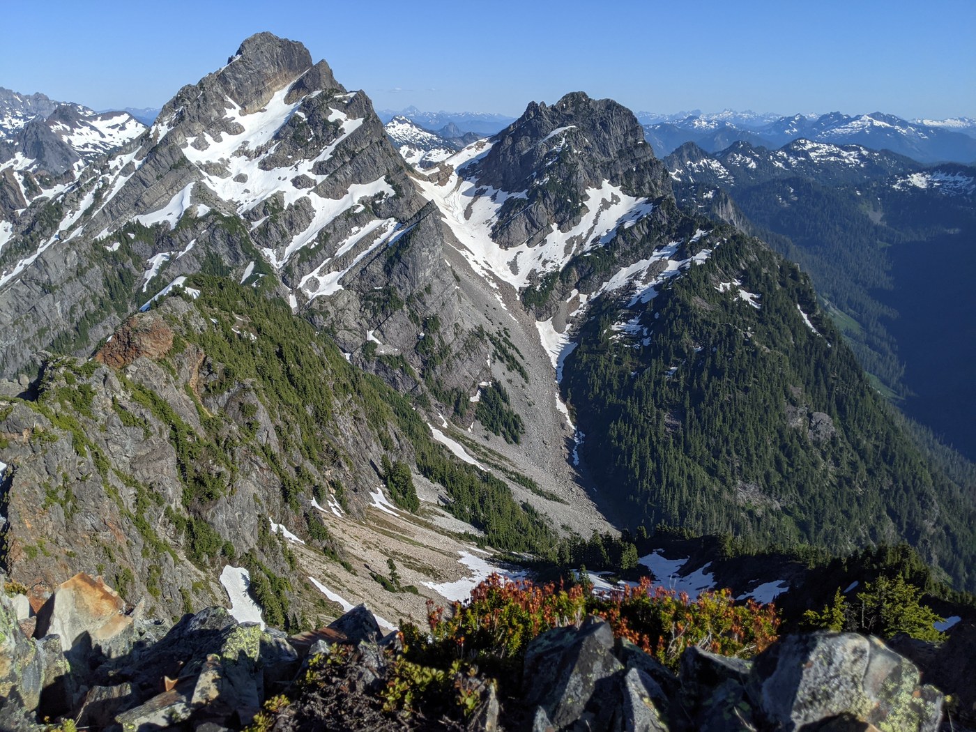
We finally broke out of the trees and onto snow around 4600’. From this point on, the climb was just about as described in numerous trip reports. The snow was not too icy, but we mostly wore crampons anyway. We ran into the (previously mentioned) other person on our route at the notch and noted he was not wearing crampons.
He also told us he hadn’t bushwhacked on his way up and had instead ascended on “wet rocks with handholds”. He mentioned having crossed the gully right around 4400’. So, on our own descent, we tried to follow his path back down. We found a way to cross the gully just below 4400’, where he had described it, and descended maybe another 100-200 feet on the (climber’s) left side of the gully, but couldn’t find any way to keep going down. The gully itself looked inhospitable, but it’s possible we just missed one spot we could have downclimbed more easily.
We reluctantly returned to (climber’s) right and veggie belayed ourselves down in the dark. We finally emerged pretty close to where we had first found our way into the trees and headed back downstream along the Stillaguamish. On the return trip, we didn’t bother removing our shoes to go back and forth across the river at the same four crossings.
We had a little difficulty finding the trail through the bushwhack area but were finally able to locate the path with the help of a GPX track. My main advice for this section would be to keep your eyes on the ground – both to help know where to put your feet and to keep plants from poking you in the eyes.
Overall, I would definitely recommend going in an earlier season to take advantage of a bit more snow coverage.


Comments