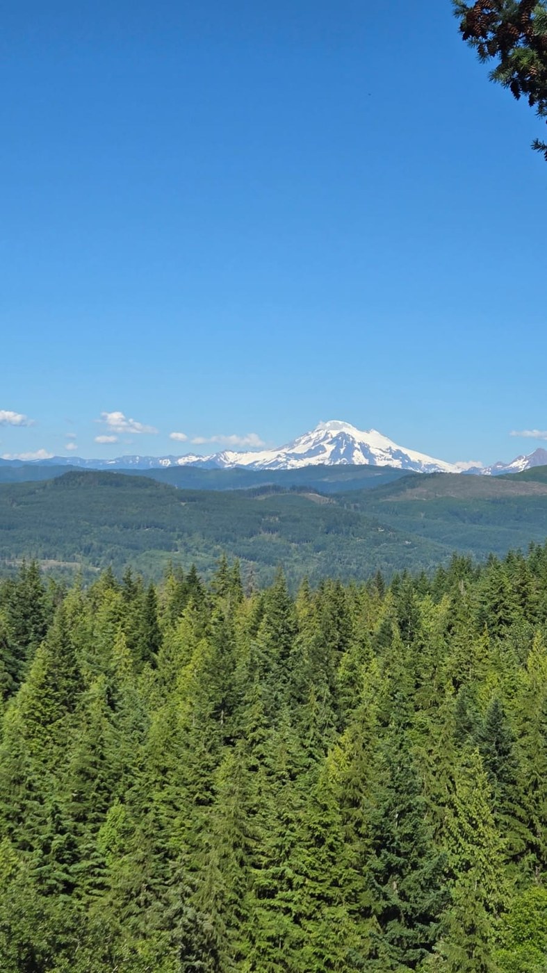
We had time for a short half-day, having gotten off Lummi Island ~12:30 and needing to get back to Seattle by dark. Some online snooping suggested that venturing up Cleator Road and stringing together some hike in the Chuckanut Park (Whatcom Co.) - Larrabee (WA State) park complex would be good for our souls and gentle on our aging knees. We parked midway up Cleator, at the Lower Ridge trailhead. 15-20 min later we were already rewarded with "The Bench" that received much love in another trip report from the following day.
Reaching the ridge, we were surprised to discover it falls off steeply on both sides, not just the expected western (coast) slope. Not sure what geological wonder had caused the cliffs on the east, but the views from that ridge might be the Chuckanut's best-kept secret. We walked part of the way with an inspiring free-spirit mom and her toddler, who camped car-free at Larrabee for several nights. She was planning to eventually return to camp via the Interurban Trail.
The opposite surprise awaited us at the "Madrone Crest Viewpoint", which features prominently in the Whatcom Co. park map, and on the ground in trail signs. There is absolutely no view from that dead-end; the same map shows precisely zero viewpoint icons on the Lower Ridge Trail, where literally every step has more views than from the the "Madrone Crest Viewpoint" :)
Perhaps this is a conspiracy with mosquitoes and gnats, which descended upon us en masse the moment we got there. The only upside to this detour was unbelievable amounts of ripe salmonberries on the "Madrone Crest Trail" below that "Viewpoint", a trail that (par for the course I guess) - actually runs along a valley. They were also the sweetest salmonberries I have tasted.
After completing a bug-infested looplet of the Salal, "Madrone Crest", and the north part of North Lost Lake trails, we lollypopped our way back up, then down, the Lower Ridge trail, this time appreciating and savoring the immense views even more. We also had some fun with Google Large Language Model (LLM) powered "AI Overview" image search, which insisted on mis-identifying the very clear image of Mt. Baker.
All in all the hike was 5-5.5 miles. We probably gained/lost well over 1000ft in the various uphills and downhills along the trail. Next time in this parts, we'll try the Raptor Ridge for additional views.


Comments