On a bright and sunny Saturday, July 5, I decided to hike to Scout Lake, hoping the remoteness of this lesser-known trail would keep the crowds away—even during the busy July 4th weekend. A friend had shared some helpful tips, and I’d also read the latest WTA trip report by Maddy.
My son, wife and I exited I-90 at Exit 47 and turned right, crossing the bridge over the South Fork Snoqualmie River. A quick warning: there’s a deep hole at the end of the pavement—drive slowly or risk a surprise suspension test. Soon after, we turned right onto NF-55 (Tinkham Road), a notoriously bumpy stretch riddled with potholes. After enduring 1.3 jostling miles, we turned left onto NF-5510.
Although a “ROAD CLOSED” sign greeted us, it looked like a leftover from a 2024 logging operation. The road beyond was freshly graded and mostly smooth, so we cautiously continued. After 2.5 miles, we arrived at the unmarked trailhead for Scout Lake on the left side of the road around 10:30 a.m. There’s space for about two cars to park on the right side.
The trail begins behind large boulders blocking a decommissioned logging road. After scrambling over the rocks, we started our hike on old FR5510-210, which ascends gently at first. The path alternated between rocky patches and thick vegetation. It looked like someone had done recent trimming, but we brought our own lopper and ended up doing extensive brushing ourselves.
At about 0.7 miles, the logging road ends. From there, we took a sharp left onto the unofficial Scout Lake Trail, which quickly plunges downhill to a creek. After crossing the creek, the trail climbs steeply—and keeps climbing. Roughly 0.2 miles later, we paused at a partial viewpoint offering a peek-a-boo glimpse of the mountains across I-90. The second half of the hike was very steep, with several fallen trees blocking the path. We scrambled under, over, and around them. We briefly lost the trail twice, but quickly found our way again.
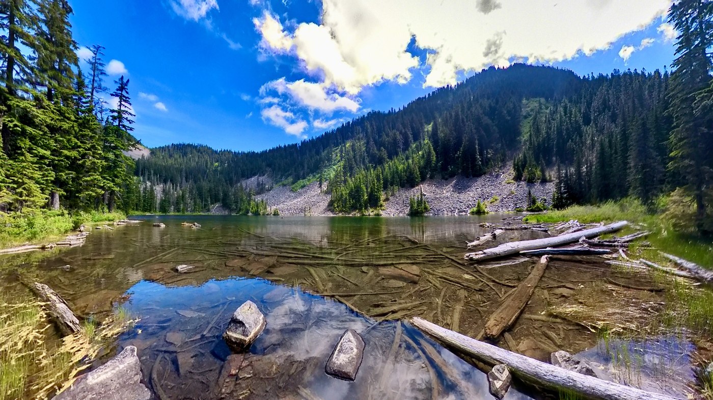
By the 1.4-mile mark, we arrived at serene Scout Lake. We found a small campsite near the shore and stopped there for lunch.
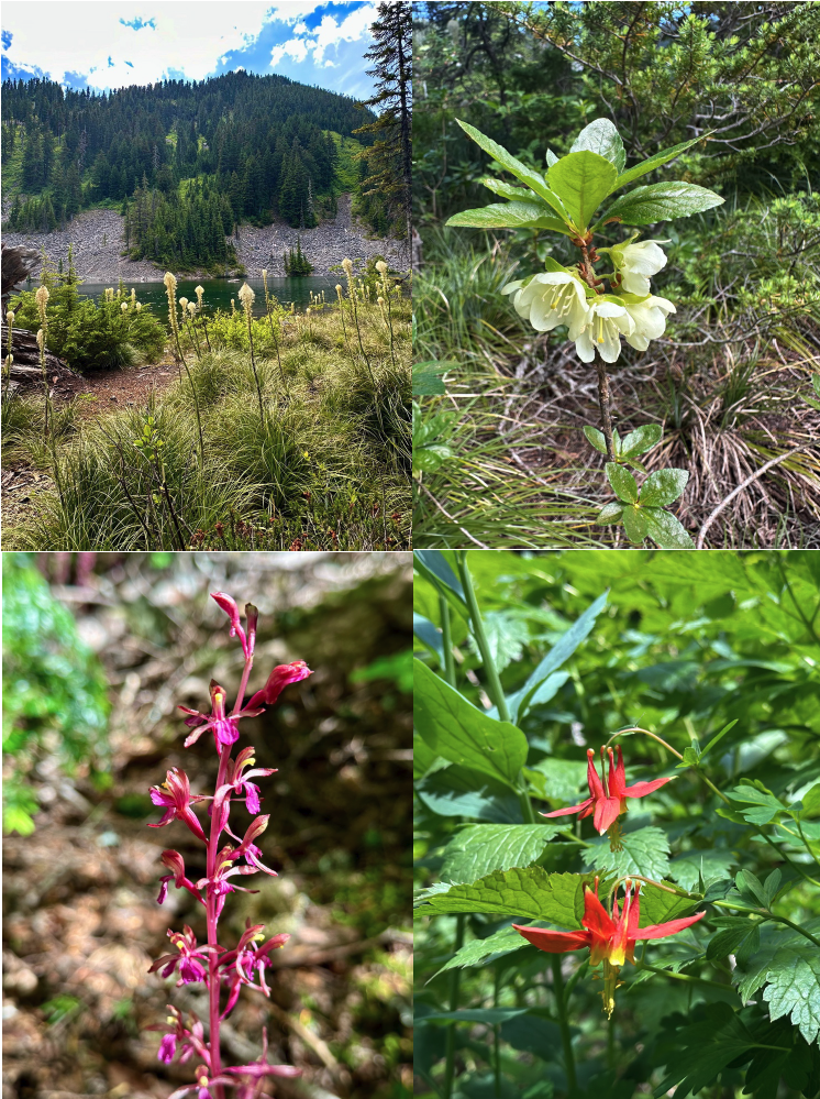
After eating, I wandered around and discovered a delightful array of wildflowers, including beargrass, rosy spiraea, red columbine, white rhododendron, queen’s cup, pink mountain-heath, tall bluebell, and bunchberry—just to name a few. We lingered at the lake for an hour, having the lake all to ourselves the entire time.
We retraced our steps after lunch. The hike up took nearly three hours thanks to all the brushing, but the return trip to the car took just 1 hour and 35 minutes.
Our GPS track is in the link below.
Stats:
Distance: 3.3 miles
Elevation Gain: 915 ft
Highest Point: 3,864 ft (Scout Lake)
Total Time: 5h 36m
Moving Time: 3h 24m


Comments