Hi, Where the Mountain Goats (Terrence), and today, my friend Thomas and I did an overnight trip with hopes of summiting Mount Hinman. We left the Necklace trailhead on the 8th with plans to spend the night at La Bohn Lakes.
The first 5 miles are simply a walk through the woods as you follow the East Fork of Foss SE through the valley. Once you cross the river, the hike truly begins. We broke out of the trees as we steeply ascended the valley before ducking back into the shade. The distance from the river crossing to Jade Lakes is approximately 3 miles, with a total elevation gain of 2,600 feet. Luckily, the trail is well-maintained and mostly heads through forests.
At 4700 feet and approx. 8 miles in, we reached Jade Lake. Jade Lake is an unbelievably beautiful true alpine lake with La Bohn Peak serving as a backdrop to the South. Unfortunately, this is where we encountered the problem that this whole area faces:: mosquitoes and an overwhelming number of them. After taking a dip, putting on bug spray (which did nothing), we headed through the meadows towards La Bohn Gap. We passed by an old cabin and Emerald and Opal Lakes. I have a sneaking suspicion that Emerald and Opal lakes are contributing to the mass mosquito infestation, as neither is a lake. I'd say deep swamps are a more accurate description.
Once past Opal, the trail gets hard to track as we picked our way through creek beds, rocks, and brush towards the massive boulder field to the Southeast.
Once you're under the boulder field, the trail begins to steepen as you gain about 750 vertical feet in under half a mile. The trail starts with boulder hopping (make sure to follow the cairns) before you cut in towards the waterfall and continue your steep ascent through trees and muddy terrain.
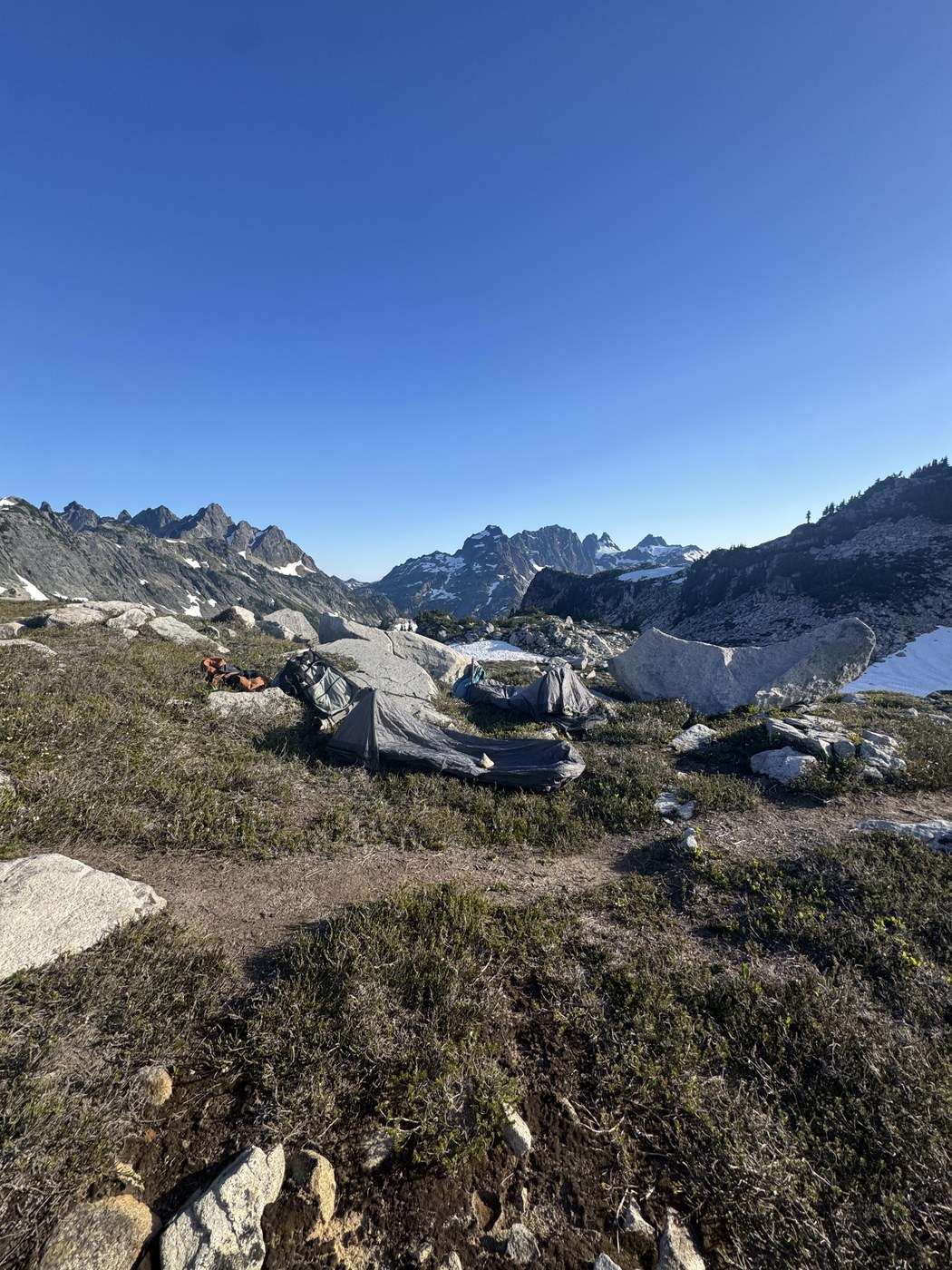
Once at the top of the ridge (5,800'), we began to head South, traversing the upper meadows past La Bohn Lakes. To our utter surprise and disappointment, the mosquitoes were just awful at the upper meadows. After passing by the biggest of the La Bohn Lakes, we set up camp next to a small tarn. It was unbelievably buggy.
The highlights of the meadows were easily the views of Bears Breast Mountain, Lemah, and Chimney Rock. Lemah, like always, stole the show and continues to rise to the top of my bucket list. Hinman loomed right above us to the East.
After fighting off bugs all evening, we climbed into our bivies for some much-needed sleep. Unfortunately, I woke up to blistering winds and overcast skies. After waiting till 8, the skies didn't clear, quite the opposite, visibility went down, and it began to drizzle. So, we made a business decision and began to head back down. The 10 miles back down to camp sucked that is all.
Overall, this is a really beautiful area, and I'll be back in August to knock off Hinman. I will say the current state of bugs completely ruins the area; I talked to people who camped up at Tank Lakes, and there's no difference. They're terrible everywhere. I'm hoping that the dry climate of the meadows in August will decrease the number of mosquitoes. Until then, Happy Hiking!
Overall Stats to La Bohn Lakes: 20.5 Miles - 4,400 Elev Gain


Comments