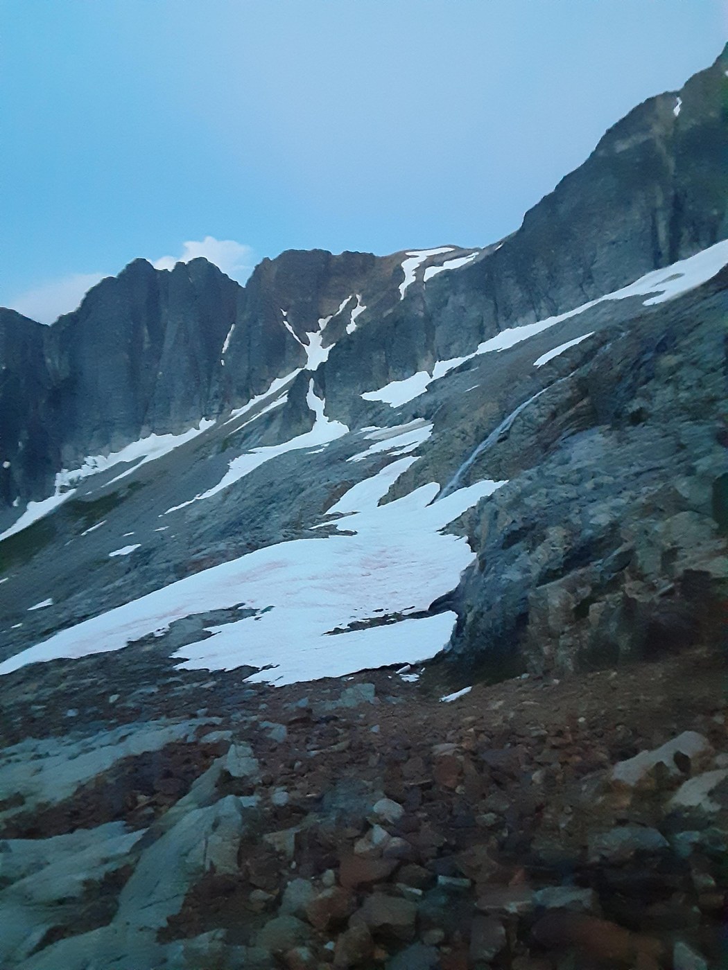
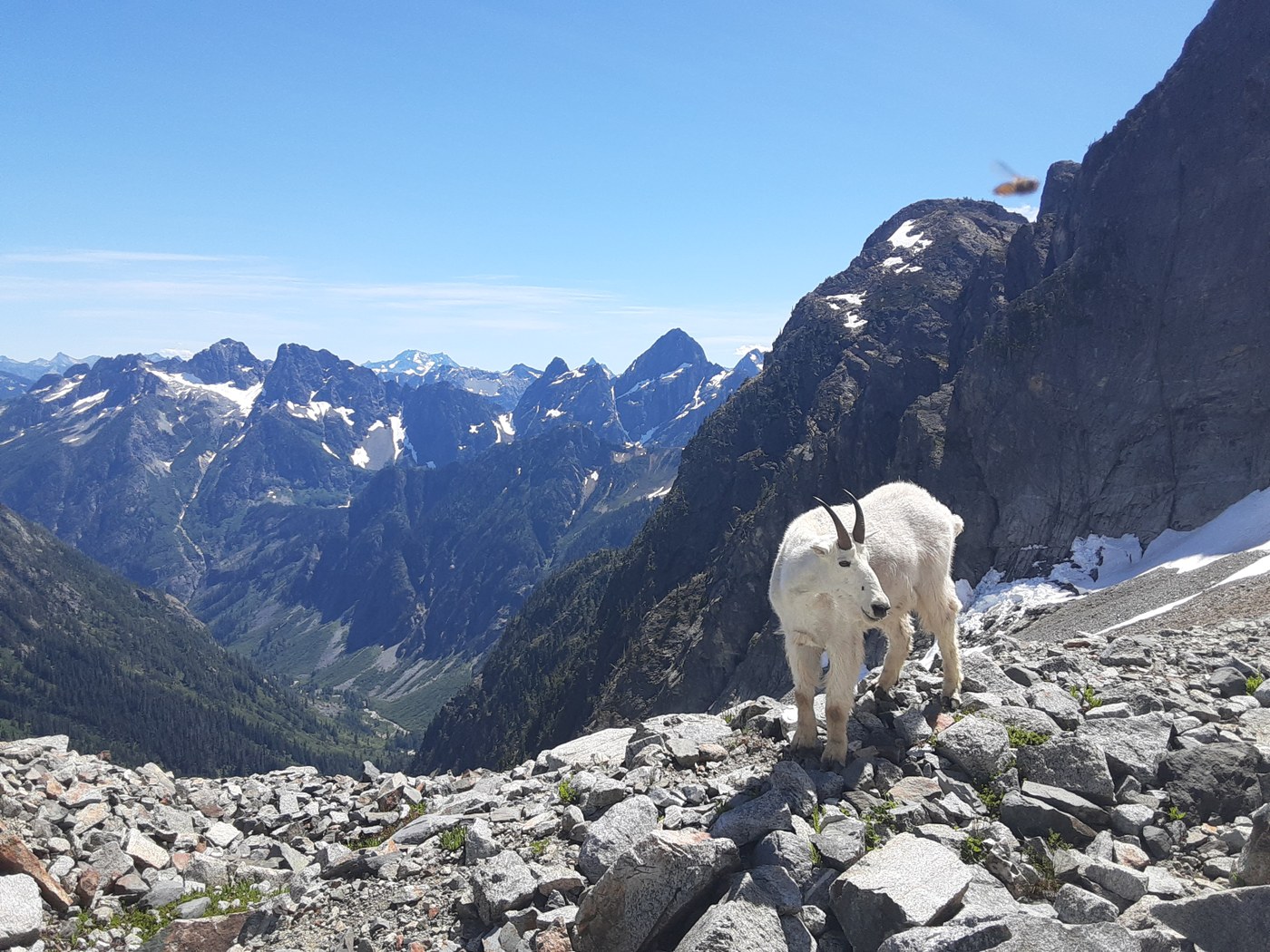
I climbed the SW route on Mt. Buckner via Cascade pass and Sahale arm from July 12-13. The road is in good condition with only a few minor potholes and is drivable for all but extremely low clearance vehicles. I started hiking around 7am the trail up to cascade pass and most of the way to Sahale glacier camp is very good and this section was uneventful except for the excellent views and many goats hanging out on the arm. Once I arrived at the camps at the base of the Sahale glacier I headed sharply to climbers right, almost due east, and down a snow field which led to a rock rib/buttress. I scrambled down along the ridge of the buttress working my way left and right as necessary, 3rd class. This brought me to a notch from which point there are two options to make the final descent into Horsehoe basin; either head down a gully, snow filled most of the year or continue to wrap around down to the base of the buttress, loose/dirty, 3rd/4th class. There is old mining equipment near the bottom. On the way down I chose the gully, I was able to follow the moat about halfway down the gully before it narrowed and I had to climb up onto the snow finger. This all loses about 1,000 ft from Sahale glacier camp. At the base of this gully there is a good bivy site for 1-2 people, I arrived here at 1:30pm and this is where I spent the night. In the morning I started moving just after 4am I worked my way east across a ledge system, mostly on snow, to the far end of Horseshoe basin. After the ledge system staying relatively high in the basin is a more direct route, I went too low on the way in and this cost me some time. Right now the traverse across Horseshoe basin is a mix of snow and loose talus/scree. I would suggest doing this route earlier in the season as more snow coverage is better, everything not covered in snow was crumbling and loose. Once I had traversed to the east side of Horseshoe basin directly below Buckner, just east of Horseshoe peak, I started heading up. At the large cliff band I went climbers left around the cliff band before cutting back right, I believe you can also go right around the cliff band. This deposited me onto the large upper snow field, I climbed this large snowfield to the shoulder just to climbers right of the summit block. From there it's an easy scramble on relatively good rock. From the summit it was a quick descent to camp I chose to skip the snow finger and scramble up the base of the buttress on my way back, I did not think that one was easier than the other it just depends if you would rather deal with steep snow or a loose mostly 3rd class gully. I arrived back at my car at 6pm having taken my time heading down Sahale arm stopping to enjoy the views. Gear brought boots, crampons, trail runners, trekking pole, ice axe, helmet, plus overnight gear. I used everything, some people may want a second axe.
Trip Report
Cascade Pass and Sahale Arm, Mount Buckner — Sunday, Jul. 13, 2025
 North Cascades > North Cascades Highway - Hwy 20


Comments
206Hiker206 on Cascade Pass and Sahale Arm, Mount Buckner
How would you rate on a scale of 1-10?
Posted by:
206Hiker206 on Jul 14, 2025 11:33 AM
Keeponchuggin on Cascade Pass and Sahale Arm, Mount Buckner
Tough question because the 1-10 scale is subjective. That said here it goes anyway, difficulty 7 out of 10, enjoyability 8 out of 10. The SW route is non-technical, but you should be comfortable on steep snow and rock up to 4th class as well as be proficient in navigation and route finding.
Posted by:
Keeponchuggin on Jul 14, 2025 01:46 PM