Day #5 this summer of hiking lesser used trails in the Naches Ranger District. Soda Springs was actually Plan C for today. Plan A was to hike to Burnt Mountain (and possibly Shellrock Peak) from the Cash Prairie TH off Bethel Ridge Road (FR 1500). However, the turn up to White Pass just outside of Naches was blocked for an indeterminate amount of time due to road striping. Plan B was to head up Highway 410 and access the trailhead from the other end of Bethel Ridge Road, but it was completely blocked by a large blowdown about 4 miles in from the highway. I'm guessing this happened last night during a pretty strong windstorm that caused some power outages here in Yakima. We also saw several cars parked along the shoulder of Hwy 410 that had been totaled by downed snags...what a bummer.
Looking for a Plan C, I remembered reading some trip reports from the past few summers about WTA doing some major work on the Soda Springs Trail so we decided to check it out. It turned out to be an excellent little hike. The trail starts in the Soda Springs Campground where it is unclear if America the Beautiful passes are accepted for day-use parking at the concessionaire-operated campground. (We opted to park across the highway just in case and walk in...) The trailhead is well marked and you immediately cross the Bumping River on a nice bridge.
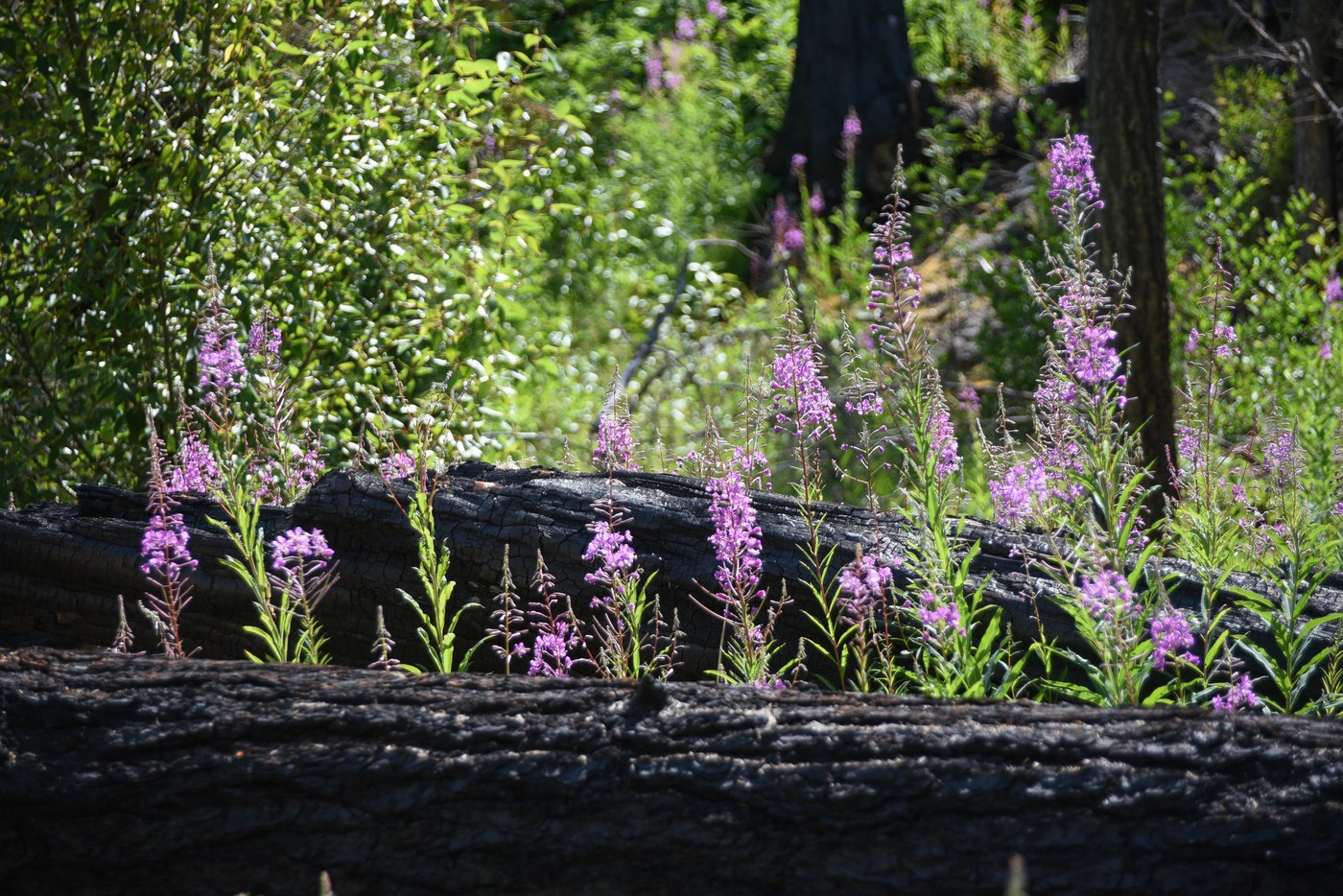
Once across the bridge the trail splits: 975 heads right and up the ridge, while 975A heads left, first to the springs and then uphill to tie in with 975 about 600 vertical feet uphill to make a ~2 mile loop. We went left to check out the springs which were very spring-y and bubbling away. After following the river for a few hundred yards, the trail ascends quickly through a burn area that was filled with fireweed in bloom. The trail was fairly easy to follow, but somewhat overgrown with a handful of blowdowns to crawl over or skirt around. Eventually we got some decent views up the Bumping River Valley between the burned trees.
After a little over a mile we arrived at the signed junction with 975 and, wanting a slightly longer hike, continued up 975 for another half hour or so. This section of the trail was a little more overgrown but still fairly distinct and we were pleasantly surprised to find quite a few ripe huckleberries which augmented our lunch.
After our lunch break, we headed back to the junction and down 975 to complete the loop. Not long after the junction we totally lost the trail. Still not sure if we missed a switchback or if the trail was just totally overgrown, but we ended up bushwhacking a good chunk of the way back to the campground, at times through 5+ foot tall horsetails which concealed a fair number of grouse to give me periodic mini heart-attacks as we descended. Oddly, this trail isn't shown on CalTopo which is what I typically use for mapping in the field. (While I didn't have them downloaded, the trail IS shown on the USGS topo and Forest Service map layers, but NOT in the right location!)
Given our bushwhacking and the fact that I can't find a sufficiently detailed map with this trail on it in the correct location to measure, I have no idea how far we actually hiked. I would guess 3-4 miles in total with about 1000 feet of elevation gain. Flowers, berries, and the opportunity to wade into the Bumping River post-hike made for an excellent day. Thanks to the WTA folks for keeping this trail alive! There were a few other groups in the campground along the river but after that we saw no other people.


Comments