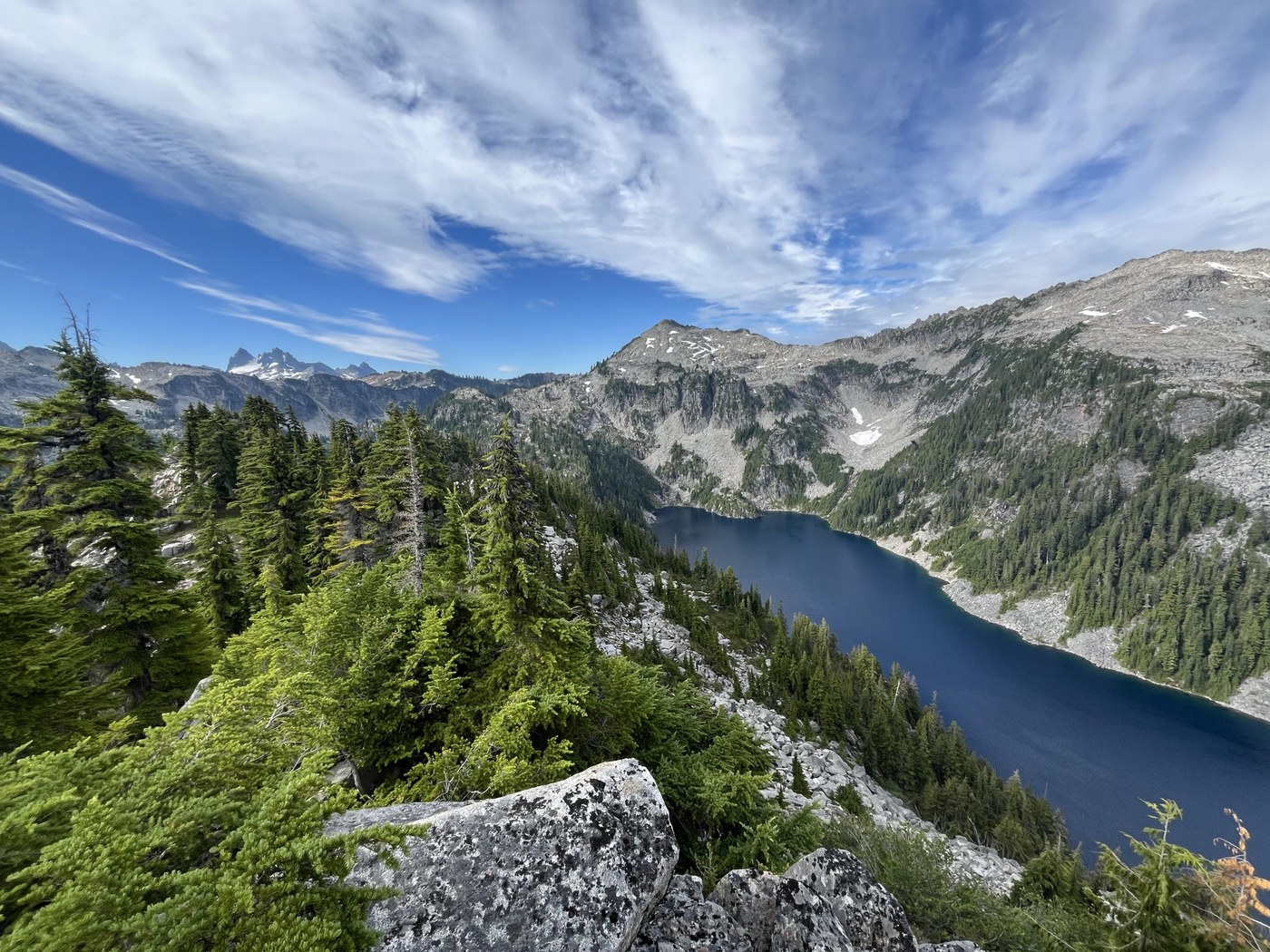
We completed the Alpine Lakes High Route in three days two nights. The final stretch of road is a bit bumpy with potholes but passable for all vehicles. We started at the West Fork Foss River trailhead on Friday and found a parking space at 2:30 pm. There were only a few parking spaces left, but there was plenty of room to park along the side of the road. The bathroom was open and stocked with TP.
The trail is in great shape all the way to Big Heart Lake. We reached Big Heart Lake after 5 hours 13 minutes of hiking and set up a tent. We chose a spot on the north side of the camping area, but we noted the next day that there are several great spots on the south side, further away from the toilet.
The next morning, we packed up and started hiking at 7:45 am. Initially, the trail continued to be in great shape, but it gets more scrambly and bushwhacky after Big Heart. We tagged Atrium peak, which is a short class 3 scramble just off the trail leading to some great views. We filtered water at Chetwoot lake.
From here on out, it was boulder hopping and scrambling for quite a ways (scrambling skills and wilderness navigation ability required). We followed cairns to a certain extent, along with some GPS tracks we had downloaded on Gaia. One difficulty was the proliferation of different lines of cairns - at times it was difficult to know which cairn belonged to each line. Grippy shoes were very helpful along with poles. I would not do this route with precipitation in the forecast or any possibility of scrambling on wet rocks.
We decided not to do the "high" high route and try and tag Iron Cap peak, but instead drop down into the basin to skirt the north side of Iron Cap Lake. Just before Iron Cap Lake there is a scrambling section that involves going down dirt and heather with a dropoff below. This is a no-fall zone. We used veggie belay techniques extensively in this section, and it was easily the most nerve-wracking section of the route. It's mercifully short. On the way to Iron Cap lake there is also one small snowfield to cross, but no ice axe or spikes were needed. We filtered water at Iron Cap Lake.
The rest of the route is mostly up, with trail picking up again at Iron Cap gap. We made it to Tank Lakes and should have camped for the night there - there were many groups there swimming and having type 1 fun like normal humans. The mosquitos weren't too bad at Tank Lakes. Foolishly, we pushed onward to try to make it to Jade Lake. After Tank Lakes, there is a very loose gravelly section to descend on that was not very fun on tired legs. In fact, it was a bit treacherous. We went slowly. After this downhill section, we stopped at the next campsite we found which was near a stream and the turnoff to La Bohn Lakes. This area ended up being quite buggy. We had been scrambling for almost 12 hours, so set up our tent and quickly went to bed.
The next morning we slept in and started out on the trail at 9 am. The trail from Jade back to East Fork Foss River is in great shape, with only a few muddy sections. It's a bit overgrown in sections and I was glad I was wearing pants instead of shorts. The hike out took 4 hours 30 minutes with a break to filter water. We hitched a ride with a nice couple back to West Fork Foss Trailhead.
All in all, this was a very scenic trip. In the future, I would definitely camp at Tank Lakes and/or do the whole loop in the clockwise direction instead, and plan in some extra time for the hike out.


Comments