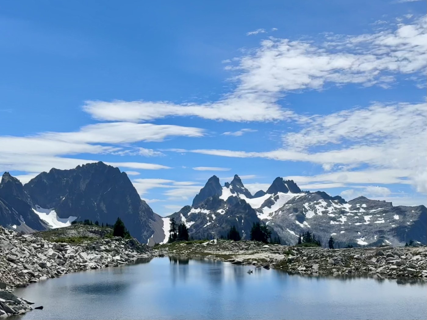
Went for a one-day push of the Alpine Lakes High Route on 7/27 with my bf. Trail is snow-free at this point and has ample cairns that show the right direction 90% of the time; we had the map downloaded on Gaia and found it extremely helpful, so I would recommend some kind of gps to save time.
There are plenty of water sources at the beginning and through the middle, but refill before the last 10 miles or so as the sources are lackluster at best after until the river.
We were very worried about the “sketchy” section crossing iron cap — if you stay on the route (gps was helpful) and it’s dry, there is minimal risk. There are a few steps where a slip would be fatal, but the entire sketchier section is a wide(ish) dirt path. If you’re a seasoned hiker, you’ve probably done way more exposed hiking elsewhere.
We were blessed with good weather and partly sunny skies, but I can imagine it gets HOT to hike on the boulder fields at midday without some relief. Wear sunscreen + protective clothes and hydrate well before.
Overall, very peaceful day (shockingly quiet on the necklace valley trail) with amazing views. Bugs only attacked when we stopped to refill so I never had to whip out my bug net.
For anyone else planning to do a one day push but debating it, go for it! Going counter clockwise, you start with the most challenging ups and downs + rocky/root filled trail first and end with a very mellow 4.5 miles. Ending with the easy trail was essential for morale IMO. This was our biggest single day yet and we thoroughly enjoyed.
Garmin watch reported we hiked ~27.2 miles with just under 9k vert (likely more than we actually did). Started at 4 AM and finished in about 14.5 hours with no running.


Comments