We hiked the Necklace Valley Loop / Alpine Lakes High Route over three days. We arrived at the Necklace Valley trailhead about 2pm on Friday afternoon. There were 21 cars in the parking lot, and we just squeezed in to the last open space. Bathroom was clean and well-stocked.
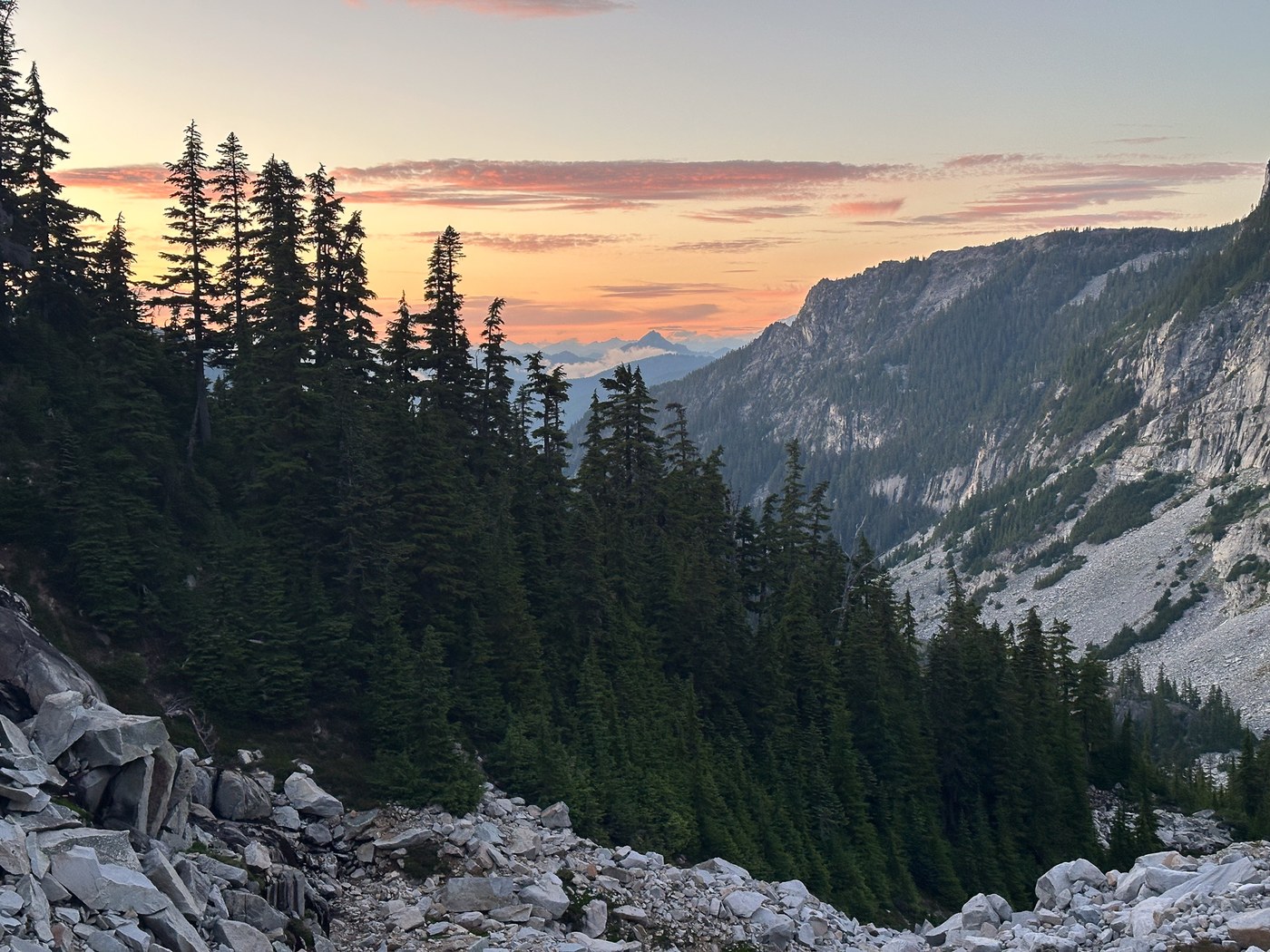
Day 1 - Necklace Valley to Tank Lakes - The trail was smooth and well-maintained all the way up to Jade Lake. One big climb leading in to the lake basin slowed us down a bit, but we still made good time after our late start. Beautiful scenery with very few bugs until we reached the lake basin - then they came out in force. After a quick stop at Jade, we continued up to Tank Lakes. The terrain became more challenging as we ascended and the dusk settled. The cairns were well-placed, but GPS or some additional navigational tool was definitely needed in this section. We arrived at Tank Lakes just as the last light was fading in the west - about 10pm. There were many parties camping at the lakes, but we were able to find an established site to set up camp.
Day 2 - Tank Lakes to Big Heart Lake - We awoke to some moving clouds that obscured the views for a while, but we could tell that the weather was going to clear up. After a quick breakfast, we set off for what we knew would be the most challenging section of the trip. The terrain was fairly straightforward coming out of Tank Lakes, but increased in intensity as we continued toward Iron Cap Gap. GPS / route-finding skills were necessary in this section. There are cairns, but sometimes it is hard to pick them out in the midst of the boulder fields. We only got off course one time and did some bushwacking to get back to the trail. As someone who doesn't love navigating boulder fields, this section was a bit of a battle. However, the scenery and expanse of wild spaces surrounding us made it worth the discomfort. The actual crux of this section, for us, came on the spine between Angeline and Chetwoot Lakes. A couple of the trails in this section are quite exposed and a misstep or fall here could be catastrophic. We had read trip reports saying that previous hikers had underestimated the complexity of the spine and we were in the same boat. This section took us longer to navigate than we had anticipated - slightly over an hour to cover 1 mile! Once we got through that part, it was smooth sailing down to Big Heart Lake. Overall, we spent 12 hours covering the terrain on Day 2.
Day 3 - Big Heart Lake to West Fork Foss River Trailhead - After sleeping well and late at Big Heart Lake, we started the day with a swim. The water was incredible and such a welcome change for me after those boulders! We packed up slowly and headed out of camp about noon. The West Fork Foss River trail is well-maintained and the few obstacles we encountered were easy to navigate. We made good time and drank in the views of the many lakes along the way! I don't know that I will do the High Route again this year, but I am already planning to get back up to Copper Lake and make a visit to Malachite, which we skipped this time around. We made it down to the parking lot about 6pm and started to walk on the road back to our car. Thankfully, we didn't have to walk far before another party came by and offered us a ride. We gladly accepted and made it back to the car in no time.
Overall, if you have the necessary fitness and back country / route-finding skills, this hike is well worth the effort. Yes, there were lots of bugs in some places. Yes, it was hard and scary sometimes. But the views made it all worthwhile.


Comments