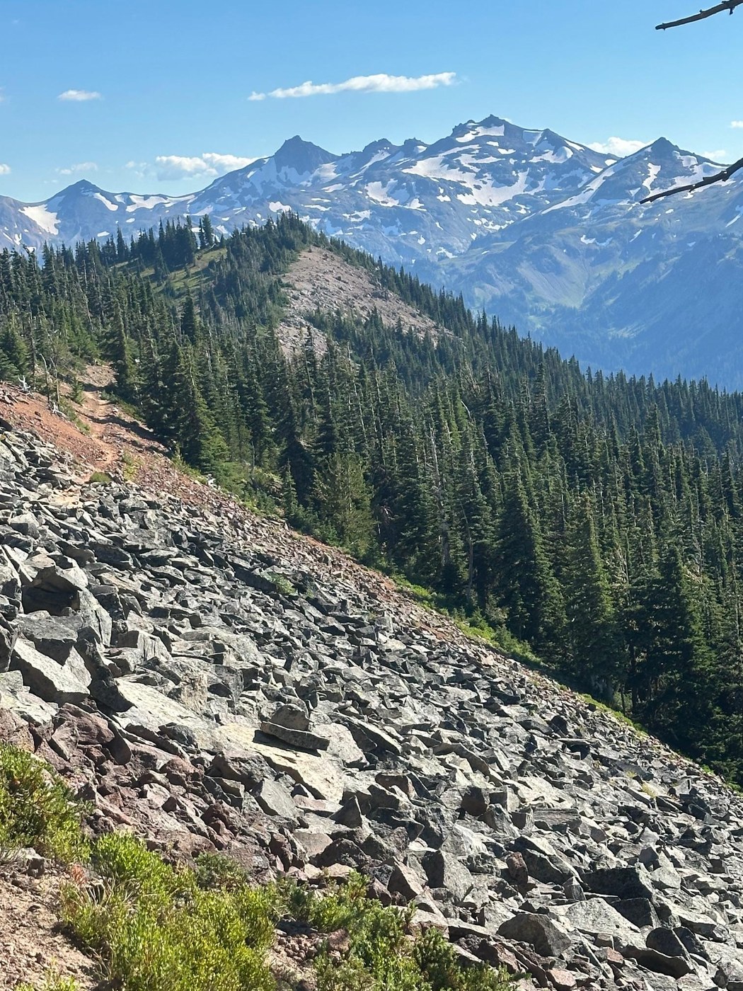
Very late start on day one so camped at Ginette Lake about 2.5 miles from trailhead. Party of three, three tents. Had the lake (warm, shallow, soft bottom "pond") to ourselves. Mosquitos, but not bad.
Two in group hiked Shoe Lake Trail, took a dip and break at the lake. Trailhead signs at both ends. There is a NO CAMPING sign posted but people were camped at the lake. Third in party continued to Hidden Springs for cold water. If you do the loop around the lake there is elevation drop at the north end but at the south end the trail is almost level with and closer to the PCT. So if you just want water it is much shorter/faster to do in/out at the south entrance than the loop. Maybe .4 miles from PCT to the lake using south end trail.
If you just want clear, cold water, make the side trip to Hidden Springs. Trail marker sign at trailhead. Maybe .3 miles off the PCT. Go through a fairly large camp area, watch for well used trail and listen for flowing water to the northeast of the camp area. Hidden Springs trail veers south of the camp but no water there. Group of six were setting up camp on Monday. On Tuesday that group was gone and others were setting up camp.
Between Hidden Springs and trail markers for N. Fork Tieton Trail 1118/Clear Fork Trail 61 there was still a little water flow across/under the trail in several places but some were already dry.
Second night, split camps. At what appears to be dry pond before N. Fork Tieton Trail 1118/Clear Fork Trail 61 trail markers there were half a dozen tents already set up. One space right on the trail was available. Between Hidden Springs and the dry pond I don't remember seeing a camp option. There are several camp spots just south of the junction, couple obvious, more to the south through the first campsites. This was our turn around point due to time available. Did not make it to Lutz Lake but other hikers indicated there were campsites at the lake. One in our group hiked out the third morning from camp by dry pond.
Third night Ginette Lake camp sites were already full so hiked back to Hells Lake. Had the lake to ourselves. Hells Lake trail has a trail marker and has been used enough to follow but narrow and brushy (fisherman's trail). Lake and campsites maybe .4 miles from the PCT and maybe .5 miles south of Ginette Lake. That evening the sky had some smoke up high (fire near Lake Cushman/Olympic NP) but by 10 pm it cleared. Lots of stars and some of the comets were visible through rainfly free tent. One joy of the hot dry days and nights, no moisture, no rainfly needed on any of the nights. Mosquitos were out in the morning and evening but a little repellent seemed to be effective. Little breeze along the crest creates a great place to take a rest or have lunch as Mosquitos are not good flyers.
Hot, hiking during the day in the 80's for entire trip. (Seattle was in the 90's) During the day it did not cool at elevation but plenty of shade on the trail. Not sure it dropped below 65-70 degrees on any of the nights. In general the trail is well marked, clear of brush, highly traveled but needs maintenance. Trail passes through a few burn areas and lots of blow downs. High usage has created alternate routes around obstacles and second tread in what were wet areas earlier in the year. Will not loose sight of the trail.
For horses and pack animals there are a few blow downs that maybe an issue due to height and narrow tread. (to high to jump/to low to go under) Close to one of the spring crossings there is a deep, 8" wide wash out hole with the the rest of the tread around it suspect for horses and pack animals.
Few thru hikers on the trail but motivated to get to Kracker Barrel, not stopping to use campsites this close to Hwy 12.
Low and high bush blueberries/huckleberries were ripe and on the trail. Saw some of the large Boletus mushrooms, partially eaten and past their prime. One new clump of Honey Mushrooms right on the trail.
Columbine, lupine, asters, spirea in bloom.


Comments