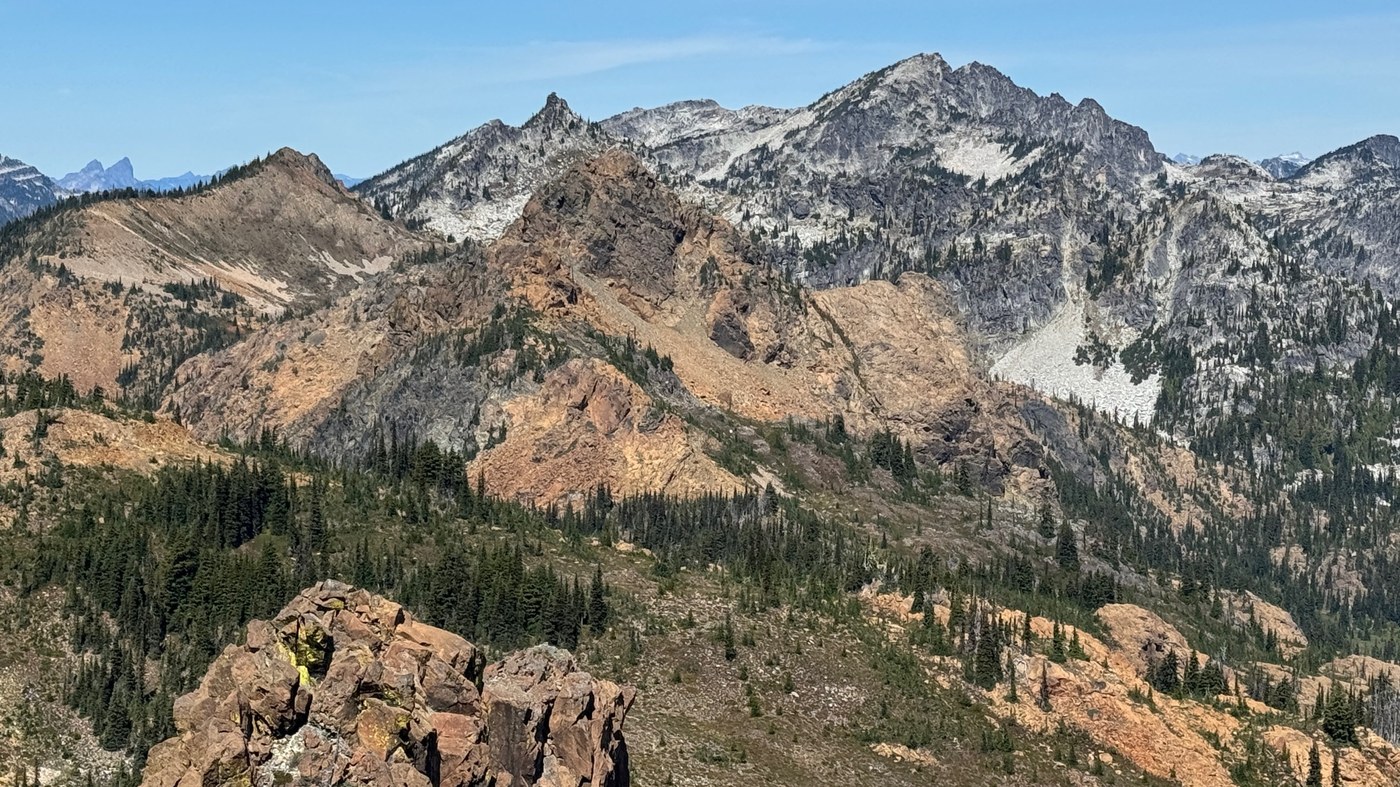
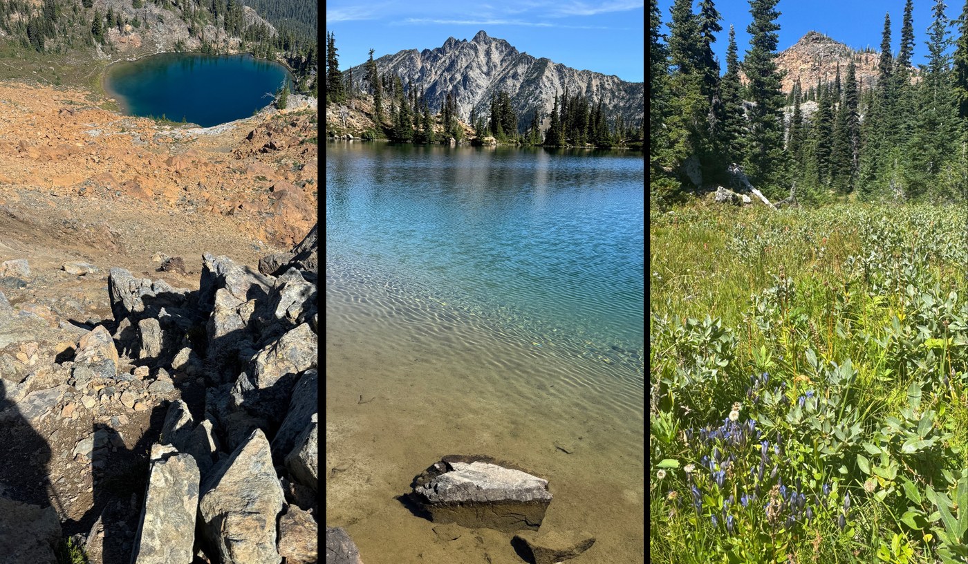
Continuing my mild obsession with the Salmon-la-Sac area range from Ingalls to Stevens Pass, explored Paddy-go-South and Tucquala Peak. I love this general area for all the variety of terrain, geology, and sploring to be had.
TL;DR;
- Route:
- Paddy-go-Easy Pass: Trail in very good shape ( minor blowdowns )
- Sprite Lake: Stunning as always
- Paddy-go-South Peak (PGS): Enjoyable ascent, with short class 2 section
- Tucquala Peak: Nice ascent from either PGS or North Scatter Creek Pass
- Class 2 mainly due to route-finding
- North Scatter Creek Trail: Surprisingly good shape for secondary trail, especially upper half
- Bottom half has lots of small blowdowns, but nothing to bad
- Note, when I was there it was 1) dry and 2) descending, YMMV
- Road walk back to car
- May need to shave my legs, my hitchhiking percentage sucks, haha
- People:
- Great meeting E & crew on PGS, and all her route ideas
- Met nice gentleman headed up to Peak 6664, appreciated all the area beta
- Two tents at sprite lake
- Critters: Tons of Sparkies ( chipmunks ), and plenty of marmots calls
- Road:
- The unpaved FS4330 is pretty good right now (given the time of year )
- One short, easy, ford
- Parking: 3 cars at Paddy-go-Easy TH, out of 6-8 spots
- Berries: Some Huckleberries at TH, but peak at:
- Paddy-go-Easy trail: ~5500' (h-berries) to ~5700' (b-berries)
- Scatter Creek: ~4400' (huge!)
- Flowers: Way past peak, but still some in upper scatter creek basin
- Water: Fill up at Sprite Lake
- Not much else running except small trickle in upper scatter basin
WALKIE BITS
Paddy-go-Easy trail (ascent):
- Climbs steadily at a useful gradient, and increasing views
- Still in great shape, same minor blowdowns, same as last years TR
- Sprite Lake: Stunning as always, medium sized fish (~11")
North Scatter Creek (descent):
- For a "route" the trail is in surprisingly good shape given how little traffic it gets
- Note, when I was there it was 1) dry and 2) descending, YMMV
- Scatter Creek pass is a really nice area, but camps are dry
- Above 4700' trail crosses through really nice meadows
- Below 4700' quite few small blowdowns (4-12")
- No big deal when descending, but could be annoying if ascending
SCRAMBLY BITS
Both peaks were really enjoyable, with great 360 degree views of the region.
Paddy-go-South (PGS):
- From Sprite Lake ascend PGS's north basin on pretty good talus/rock/scree, aiming for PGS NNE pass at ~6250'
- Then ascend rock and scree to PGS NNW notch near summit
- Couple class 2 moves on decent rock, then easy stroll to summit
Tucquala Peak (from PGS):
- Retraced path down to ~6250' pass on PGS NNE ridge, then...
- Traversed fairly stable talus under PGS E face cliffs, then...
- Ascended broad ridge, then scree climbers leftward to pass at:
- Approx: 47.53483, -121.04627 @6632
- Faint boot path in parts
- Then aim towards Tucquala peak, following your nose
- Choose-your-own-adventure to ascend summit block
- Easiest seemed to be up SSW face
- Overall give it a class-2:
- While less technical then PGS, it comes with more complex route-finding, and is a lot longer
Tucquala Peak ( to North Scatter Creek / Meadow Creek col ):
- Pretty straightforward descent on good rock, reasonable scree, then meadows
- Main thing is to descend SE ridge, until to see easy way down
- Don't get sucked into the grotty gully/basin direct from summit
- According to the inter-webs: The name Tucquala comes from the Yakama word for fish ( Fish Lake below is now known as Tucquala Lake )


Comments