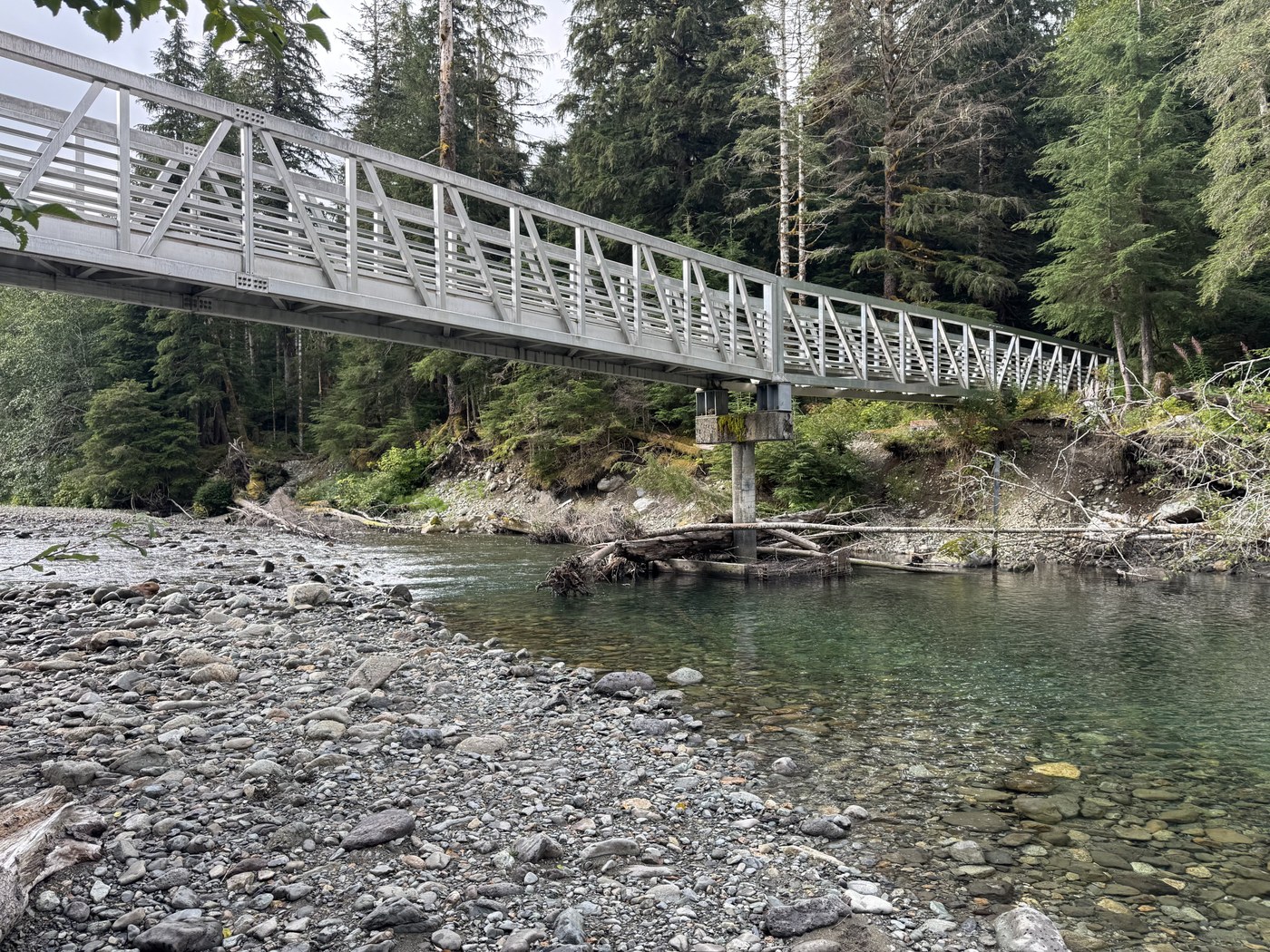
To hike to the Big 4 Ice Caves, you have two places to park. As you travel east along the Mt Loop Hwy, the first place is at the Big 4 Picnic Area. The second place is the Big 4 Trailhead. Both of them have paved parking lots with plenty of parking and newer pit toilets that were clean. I arrived at the Picnic Area lot at 7:45 AM on a Wednesday and there were only 2 other cars in the lot. I headed out on the trail at 8 AM and hiked the 1.3 miles to the Ice Caves. Since it was still early in the day, there was mist coming from the caves, so it provided a cool vibe. On the way back, I went to the banks of the Stillaguamish River - was a nice view of the river and the impressive bridge over the river. To get down there, take the side trail that's on the NE side of the bridge (right side of the bridge as you are headed back to the TH). The trail crosses back under the bridge and leads you to the river. Went to the Big 4 TH parking lot, then took the connecting trail to the Picnic Area. Total time was 70 minutes. Distance was 3.0 miles. Elevation gain was 360'.
 Washington Trails
Association
Trails for everyone, forever


Comments
Don Gerald on Big Four Ice Caves
I don't usually look at reports for this area, but I love pics 1 and 4. Thanks for sharing.
Posted by:
Don Gerald on Aug 23, 2025 08:24 PM
Chris H on Big Four Ice Caves
Thanks for the feedback!
Posted by:
Chris H on Aug 24, 2025 01:57 PM
Don Gerald on Big Four Ice Caves
I don't usually look at reports for this area, but I love pics 1 and 4. Thanks for sharing.
Posted by:
Don Gerald on Aug 23, 2025 08:24 PM