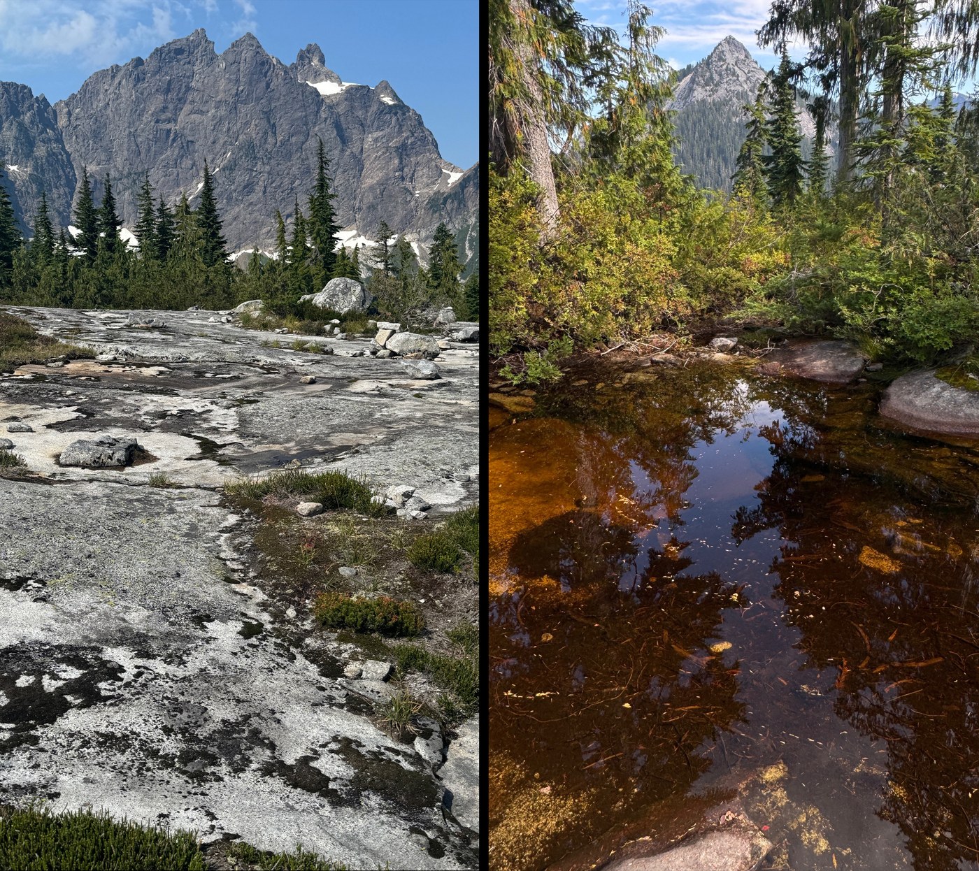
When I first saw an aerial picture of the Exfoliation Dome decades ago, I thought surely it was in Yosemite. Finally today got around to dipping my toe into this amazing corner of the Mountain Loop Highway, hiking up Squire Pass, with a side trip up Higher Squire peak.
TL;DR;
- Trail: Overall better shape then I expected
- Middle section quite rooty, but not bad (for me, on this day)
- Higher Squire: Terrific 340 degree views
- But have to climb a bit of steep vegetation to get it
- If a climber, check out "Squire Spire" just W
- Else good views can be had just by meandering up lovely granite meadows above Squire pass until things get steep
- Road:
- Is narrow, but thanks to road crew is in surprisingly good shape
- That said would take medium or greater clearance
- Due to 1 pothole, and a couple ( currently dry ) fords
- Near the end there is a "end-your-day" ( wheel swallower ) pothole:
- But sometime today someone ( probably the new register folks! ) plonked a stick in it with some yellow tape, thanks!
- Parking:
- 2 cars today, out of probably space for 8 back ins'
- No trailhead toilet
- People:
- Heard some climbers on the wall, but saw no one else
- Critters:
- Lots of pissed off squirrels ( aren't they all )
- Saw one bear scat, but hard to tell how old given rain
- Large toads
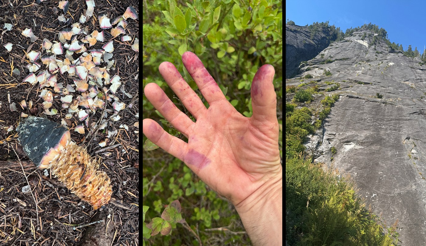
- Berries: Blue/Huckleberries in full force,
- Starting at 3400' and then amazing as get closer to the pass ( and most of way up to base of Higher Squire )
- Why is it I can never seem to remember to bring containers?
- Water: I would take all the water you need, although...
- There is a large stagnant pool at 3045'
- And a few micro trickles/ponds later on if desperate
- Trash: Can't believe it has taken until end of August for my first Mylar Balloon capture ( on Higher Squire ).
- Unfortunately was shredded, so took 5 mins on steep ground to retrieve
- Apart from that all good though, no other trash
SQUIRE PASS ( FROM EIGHTMILE )
Trail can be described in 3 sections:
- Easy, well maintained forest trail to start of Three O'clock wall climbing area
- Sun seemed to be leaving at around 3pm, not sure if this is reason for the name
- Rooty/Rocky section, with a couple easy blowdowns
- It's isn't actually that bad, just take your time
- Lovely traverse towards pass, with ever expanding views
- Note to see views, you have to stop leaning over to eat berries
The pass itself is a great area to explore, recommend continuing up a little (southward) following easy granite "leads" for even better views.
HIGHER SQUIRE
Terrific 340 degree views, but have to climb a bit of steep vegetation to get it
- If a climber, consider "Squire Spire" (unofficial) just West
- Looks way sexier looking then the treed Higher Spire :)
Higher Spire summit block has quite a bit of scrappy Class H2+DBV (my made up Cascadian Heather class 2+ grade, with Duff, Blueberry Veggie holds)
- From Squire Pass, Wandered beautiful granite slab leads SSE towards the treed Higher Squire
- At about 4500' ascend steep vegetation to gain the ridge about 4741'
- There is a bit of root finding, and you will be using lots of veggie belays especially if damp ( like it was today)
- Once on the NW ridge it is a much more enjoyable jaunt up to the summit rocks
- Really great views including Three Fingers, Whitehorse, Baker, Pugh, Del Campo, Monte Christo peaks, etc.
- As was damp, fell on my ass a couple times descending
- Note, seen some GPX tracks that come at peak from NE, but couldn't see the way down enough to be able to comment
Once at meadows, have the option of taking one of several granite slab stream beds direct down to trail. They were dry when I was there, but must be beautiful when running. I really can't remember were I went though, as I was heads down picking blueberries, and not really paying attention to where I was going (and thus falling on my ass again).
EXFOILATION DOME (WHAT A GREAT NAME!)
While didn't explicitly visit the Exfoliation Dome, did at least get some good views, and it remains a personal legend to me given the (assumed) double entendre of geology-nerd ( the process that forms this type of cliff ) and climber ( loss of epidermis ) interpretations :)
Great area climbing link attached for active climbers, and those long retired armchair types like me.


Comments
Shhhh.
Posted by:
TabTabscott on Aug 30, 2025 05:53 AM
Thanks for the report!
• Good to know that:
◦ There is no running water up there now
• Do you have photos of:
◦ The "H2+DBV" section?
I had Higher Squire on my winter to-do list, but sounds like it might be fine without snow, too...
Posted by:
ejain on Aug 30, 2025 11:30 AM
Currently there is a very slight trickle in a couple of creeks, and a bunch of small stagnant pools. Depends on how picky you are :) Be fun to see when everything is running.
I do have a couple of Higher Squire pics, but they don't look that useful, let me know a way to send if want them. The way I went avoided anything too exposed, just a normal steep/slippery bush climb joining open leads, then bypassing any ridge blocks. Don't start too far east on the north face as those gullies are much steeper. Peakbagger shows some GPX if needed, just look for summer ones coming from the NW. Approaching from the W saddle, or NE ridge "might" be less brushy, but couldn't say for sure.
If doing in the winter, suspect would favor NE ridge as more direct from valley.
Posted by:
fadenz on Aug 30, 2025 11:59 AM
BTW: Searched a bit on the web, and really couldn't find a good image. It's not a very photogenic peak looking up at it. The steep section isn't all that long (~300' vert), so if you can bail if just not feeling it (I admit to cursing a couple times - haha), and still have great general views.
Posted by:
fadenz on Aug 30, 2025 01:52 PM
If I find myself up there with an extra hour or two, I might give it a go! Otherwise, winter it is.
Posted by:
ejain on Aug 30, 2025 06:36 PM
I have one caveat about this description. I hiked this trail twice in my late 60s, but I was still in good hiking shape. I found it hard. Up to the Rock is good, but that section past the avalanche/scree field is more a boot path, steep, with root ladders. It's certainly doable if you are ornery, but if you have problems with the 2nd part of the Heather Lake trail, best to skip this one. Wish I could hike this one again and make it all the way up higher Squire, last time there was a bear hogging the top.
Posted by:
Muledeer on Aug 30, 2025 08:09 PM
Thanks Muledeer, appreciated. Everything is relative to what one is used to, at a given point in time. Mad respect to you, and thanks for all your amazing TRs. I did have my head on a swivel for bears given the berries, but guess they found me too stinky :)
Posted by:
fadenz on Aug 30, 2025 09:02 PM