Snoqualmie West + East, Snow Dome, Cave Ridge, Guye North
Stats: 6.1 miles, 4.2k gain, 6 hours car to car.
For more photos, see the linked mountaineers trip report.
This was an incredible scramble loop! We watched the hordes take Snow Lake while we enjoyed the alpine all to ourselves. It doesn't take long to break free from tree line and start soaking in the sun and the views, and there are great views to be had!
The trail is relentlessly steep, ~2k gain per mile, but it's pleasant travel on mostly solid rock or steps in dirt. Even with a few stops for snacks, water, and photos, we cruised to the top in about 1:50. The path to the West summit is obvious and easy to follow along the ridge, though there is a bit of exposure if you choose not to go through the trees. From here we got excellent views of the Snow Lake area, the East summit, and a neat view down into "The Slot" couloir. It looks even more intimidating when there's no snow.
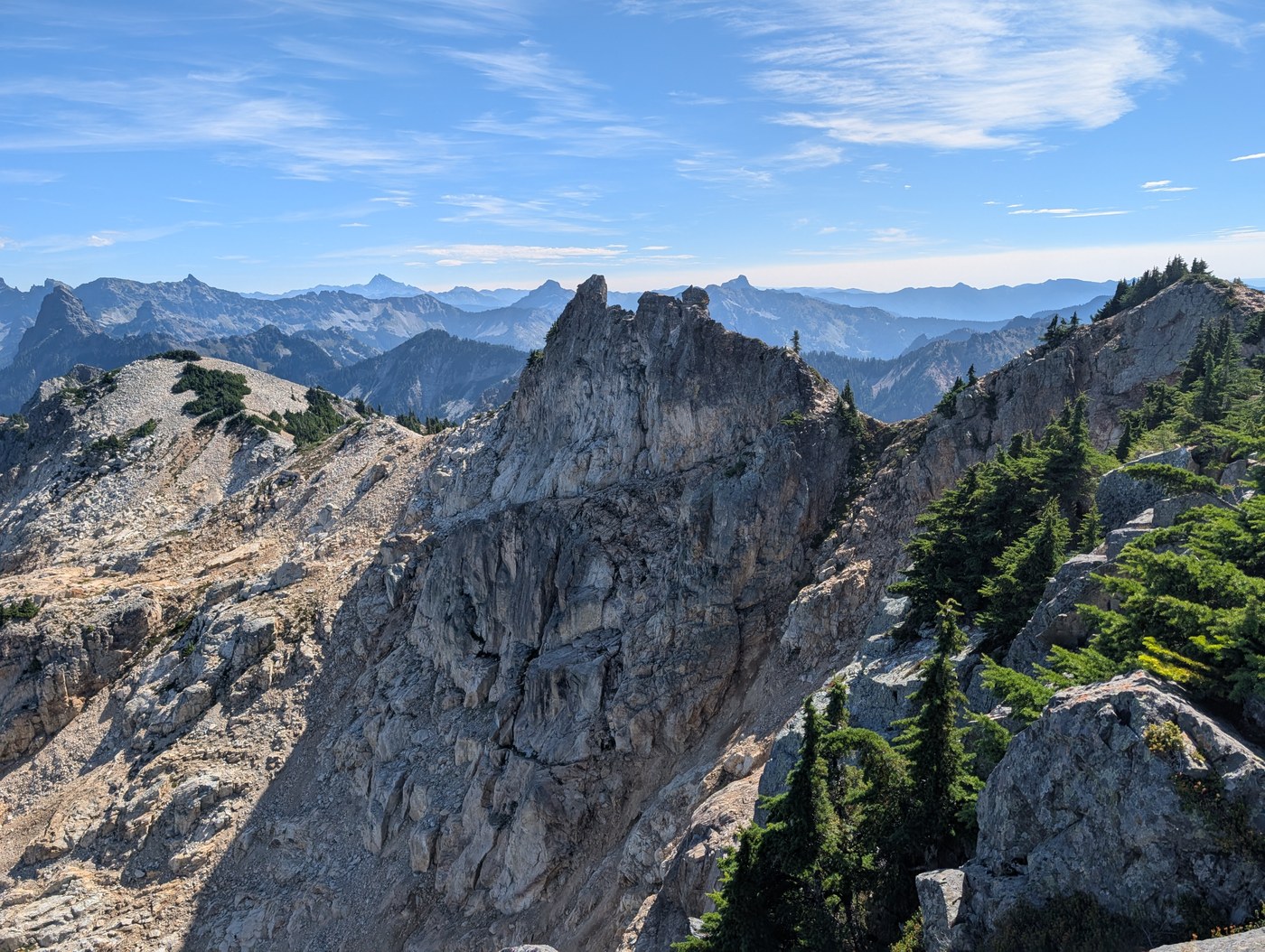
We turned our eyes back East and scoped our route. From here, it's easy to see the exposed class 2 ramp cutting across the backside of the East summit. Mother nature was kind here, without this perfectly placed ramp, the summit would be much more dangerous to attain. The side profile of the summit is impressively narrow. As you wrap around the side to the ramp on the back, there's a couple exposed class 2 moves. Solid rock, great hands and feet, and literally like 2 steps, but still spooky. The ramp itself progressively gets wider, and is easy to get down.
Once we looped around and scrambled back up to the ridge, we dropped our bags and made the short, but spooky exposed class 3 scramble to the summit. Jaclyn was cursing Eric Gilbertson's name for updating this as the true summit. It's all solid rock for now, but we didn't love how it looked like a heavy wind could blow the whole thing over. The narrowness and huge drop off leaves little room for error, and who knows when some of those rocks may break off.
The trail is less defined from this point on, so have a GPX handy, but for the most part it sticks to the ridge line. We headed towards Snow Dome on the manageably loose talus, picking our way around some minor cliffs and trees. The top of the dome provided nice views back towards Snoqualmie, and an excellent vista of Lundin and Red.
It didn't take long on the descent from Snow Dome to find a climbers trail that headed all the way to Cave Ridge. Beautiful and easy ramble down the ridge, enjoying the views of the Commonwealth and Snoqualmie region. We lost the trail at times and had to navigate some steeper terrain, but it stayed mostly class. At one point, Jaclyn noticed some chains and bolts on a rock. Turns out we stumbled into the Sno Point alpine sport "crag". Not sure I'd drag my gear up here for the couple short routes, but it sure is a pretty setting. However, I was admiring the massive granite slabs in the valley below that looked like they could offer some fun climbing. Curious if anyone has climbed there!
Following the ridge, you'll eventually get cliffed out and will need to head west into the drainage, before turning back to head up Cave Ridge. This section of the mountain was LOADED with blueberries. We wished we had brought containers to fill up, but we enjoyed snacking as we walked. We couldn't believe there was more wildlife taking advantage of the abundant food, but we did see one Marmot and many pikas scurrying around.
It didn't take long to start finding caves either. Lots of social trails along Cave Ridge lead to large holes and cave entrances. Some with signage, others just with old rope hanging into the darkness. We poked our headlamps into a few out of curiosity, but quickly noped out of them.
After our timid spelunking, we made our way towards our last objective, Guye Peak. Guye sticks up in the air prominently, and has a beautifully treed North face. You can see the scramble route zig zag it's way up the dirt and rock looking across from up high. As with the rest of the day, the route is easy and quick to follow. We top out and soak in all of our surroundings one last time before heading back to the car. Middle and South peaks will come another day.


Comments