We decided to climb Cashmere Mountain as a 2-day trip, camping overnight at Lake Caroline. I snagged overnight permits early via the Enchantments lottery. However, we saw almost nobody the entire weekend, leading me to think that the permits aren't that popular.
We arrived at the Eightmile Lake trailhead at around 8:30 am, and easily found a spot. It seemed like there might be some overflow parking at this trailhead from the nearby Colchuck Lake trailhead. The privy was open and stocked with TP. The trail to Little Eightmile lake was in great shape. At Little Eightmile lake, we turned north and made our way up to Lake Caroline. This section of the trail was quite hot, dusty and overgrown. There were half a dozen or more trees down over the trail. We were pushing through brush much of the way. There isn't much protection from the sun here. However, once you go over the pass and down to Lake Caroline the temperature goes down significantly.
We arrived at Lake Caroline and found a campsite with a view of Cashmere Mountain. I had read reports of the bugs being bad here, but I did not experience this. There is a toilet near the lake, but somewhat hard to find as the sign is tucked away. There were a lot of ripe blueberries near our campsite. We filtered water at the lake and took a quick dip.
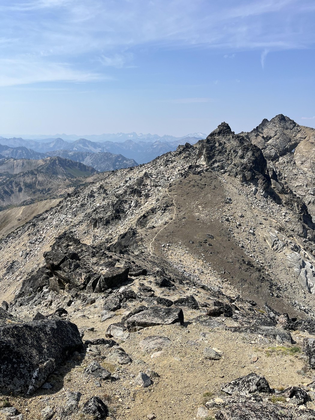
The next morning, we left at 6 am. We took a break at the last water source, which is a small stream below Windy Pass. The sun was up by the time we reached Windy Pass, and it was nice and cool and a bit breezy. From here we walked the ridge over to the boulder field. There is one section of scrambling on the ridge walk that is steep and loose, but it was short and not that bad. As we crept up the ridge, Colchuck Lake came into view to the south.
At the boulder field section, we stayed high (to the north) and followed the cairns. There is an easier high route to the north that wasn't obvious to us on the approach but we saw on the return route. We made it through without any issues.
We crossed the saddle and then started the traverse east, following the cairns. Stay at about 8,220-8,240 feet of elevation for as long as you can before ascending. You will cross several gullies with loose rocks. Eventually you'll get to a gully due north of the summit. This is where you should start to ascend. As you ascend, keep looking to climber's left for a notch with a cairn; if you go through the notch, it takes you to easy class 2/3 terrain on the other side of the ridge that you can climb all the way to the summit.
We couldn't find a summit register. After taking photos and eating our lunch, we went back the way we came. My advice for coming back is to not go too low on the traverse, because it's difficult to ascend back up the loose rock.
All in all a very enjoyable trip, with extraordinary views and some very enjoyable scrambling, especially in the boulder field and final summit push. The approach is long but very scenic.
Distance: 19.75 miles, Elevation gain: ~6000 feet


Comments