Arrived just after 10am on a cloudy Wednesday morning. The short access road is full of potholes, as many others have noted. I was surprised to find nearly 20 cars in the lot, but there is room for a lot more! The bathroom was clean and stocked. Annette Lake is obviously a heavily-travelled trail but has an ascent that feels harder than the 2,100 feet elevation gain my watch indicated. Perhaps this is because of the many, many stairs on the trail, requiring me to lengthen my stride to take the stair steps one at a time. There are many viewpoints on the upper part of the trail but they were mostly obscured by clouds during my ascent. However, when I arrived at the lake, nearly all of the clouds were gone and there were blue skies and beautiful views of Silver Peak (if you turn to the right) and Abiel Peak (if you turn to the left). Several groups were spread out across the lake shore (as were many ripe berries!)
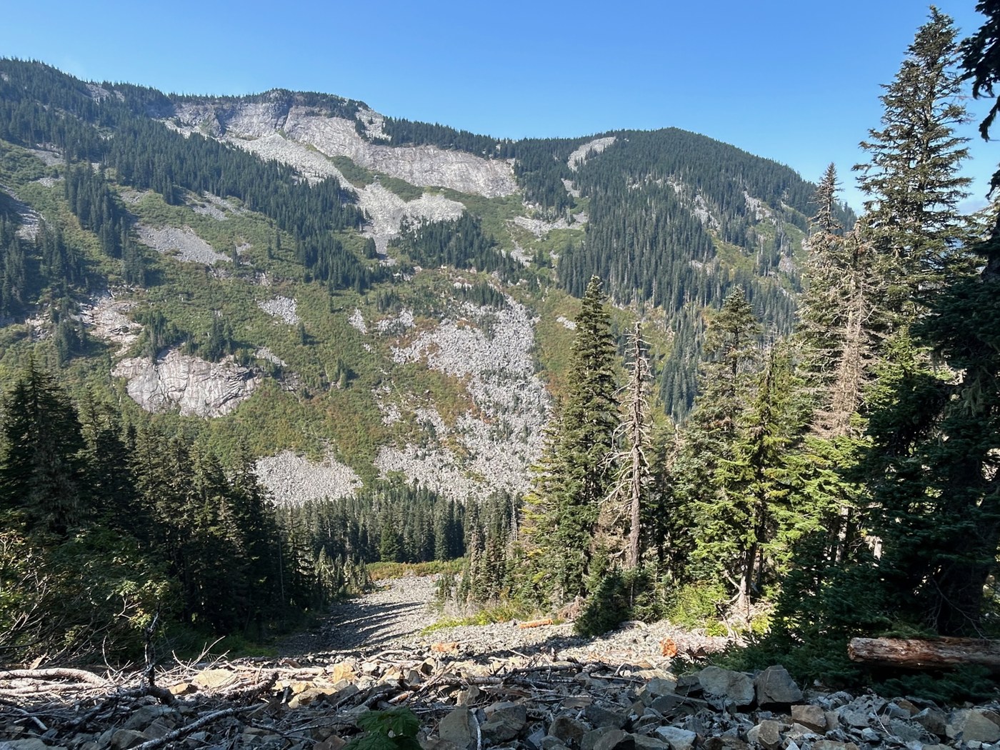
After a short lunch break, I was pleasantly surprised to discover that the clouds at the viewpoints had cleared for my descent. Each viewpoint has a slightly different perspective, opening up grand views of Humpback Mountain and occasional distant views of Granite Mountain, Tusk O'Granite, Pratt Mountain, Mt. Defiance, and Bandera Mountain.
When I arrived back at the trailhead, I decided to extend my hike along the .75 mile Asahel Curtis Nature Trail. This is a charming nature walk, with a lush understory, a couple of bridges, some sections of old growth forest, and lots of benches. It's also obviously much less frequently travelled, probably due to the combination of sharing a trailhead with Annette Lake and the heavy I-90 traffic noise. Still, it was the highlight of the lower-elevation part of my hike today. There is currently one blowdown on this trail that requires some agility to climb over since it is too low to walk under.
8.8 miles, 4 hours (including lunch), and 2,100 feet elevation gain


Comments