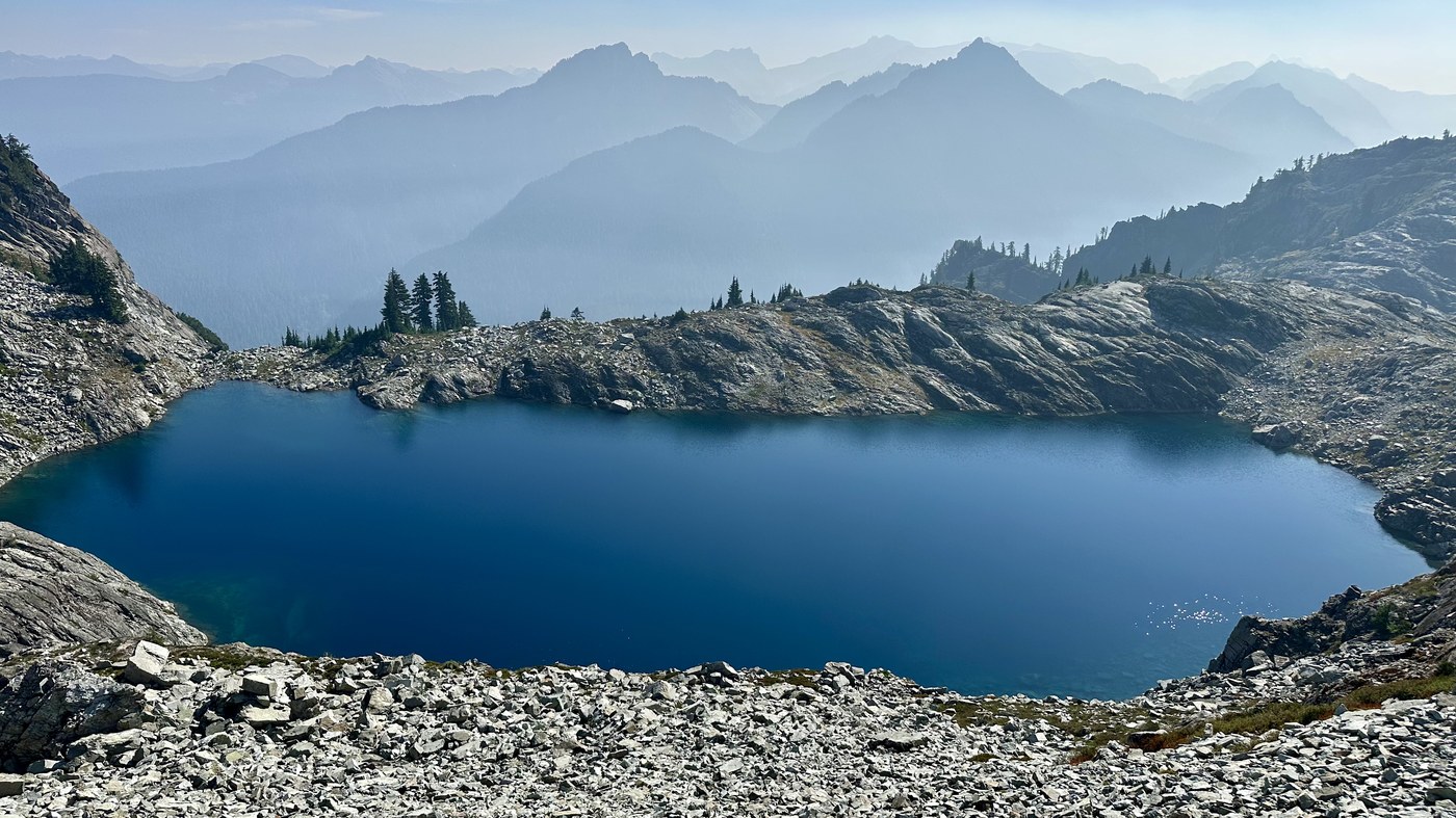
Went up to Malachite Peak with Kidz and another friend. We were expecting a little shorter day, but this one is not to be underestimated! The trail is super steep in places, plenty of boulder hopping which is slow going, lots of ups and downs on the trail, and the final scramble is exposed. Lots of fire smoke haze surrounding us, which made for some interesting pics. It dissipated on our descent. Several times we thought we could see the peak but it was always further away than expected.
The parking lot is about 1/4 mile past Evans Lake TH, at the end of the road. There's room for about 10 cars. No facilities. There were 5-6 cars at 8:30am on this Sat. It's about 10 miles drive beyond Hwy 2, most of it on gravel road. Overall it's in great shape. They are doing some work up there, plenty of machines plus a road closed sign off to the side, so possibly closed during the weekdays, not sure.
Started hiking about 8:45am. The trail is a short back track down the road from where we parked. The trail is well defined and pretty steep for the first 1.5 miles, especially the upper section before getting on the ridge. We were surprised how steep in places. Be forewarned if you want to camp at Rock Lake. Once up on the ridge, it goes up and down a little for quite a while until you start to drop down to Rock Lake. At some point before getting all the way to the lake, we branched off to the right and started with one of many boulder fields. There are cairns in the boulders above Rock Lake, but after that they disappear. We cut across boulders the length of the lake and headed for a rocky gully and went up. At the top we saw that we had another gully to surmount. From here we hit a tarn, which we used for water on the way down, and turned to the left to head up another gully that took us to a ridge above Panorama Lake. We again sidehilled across a long boulder field above Panorama Lake and hit a ridge with Malachite Peak North on the right. We spotted 2 men coming down from there and would end up on the main summit with them. From the ridge we dropped down again and hit another boulder field that eventually took us to the ridge below the final 100' scramble to the summit. The rock in this section was very loose and got worse the higher up we got. Beware. We spied the class 4 scramble gully and set off. It's not too bad, but got to find hand holds to augment some sloping footholds in the middle and the exposure is high because the mountain drops off below this section. Once through the scramble section, there's a short steep path to get to the summit! We relaxed for about 45 mins and refueled before heading back out. All in all, a fun peak that's harder than the stats would indicate.
Stats: 8.3 miles, 4600' gain, 8:45 total time, 2:10 stopped time
Gear: Helmet for rockfall, grippy shoes TX4s, garden gloves for rock, sand, and veggies, poles for the steep 1.5 mile final descent. Brought gore-tex for potential wet vegetation but the trail is not too overgrown and it was dry.
Water sources: Nothing right on the trail. You can drop down to Rock or Panorama Lakes, but that will cost you 2-300' elevation. We used a tarn at 47.63545, -121.34052. The water there is no longer moving though.
GPX: https://www.peakbagger.com/climber/ascent.aspx?aid=2990336


Comments