Recovering from an illness, but with good weather and still looking to get out on some new (to me) trails, I ferried over to the northeast Olympic Peninsula to explore around the intriguingly-named Gray Wolf River.
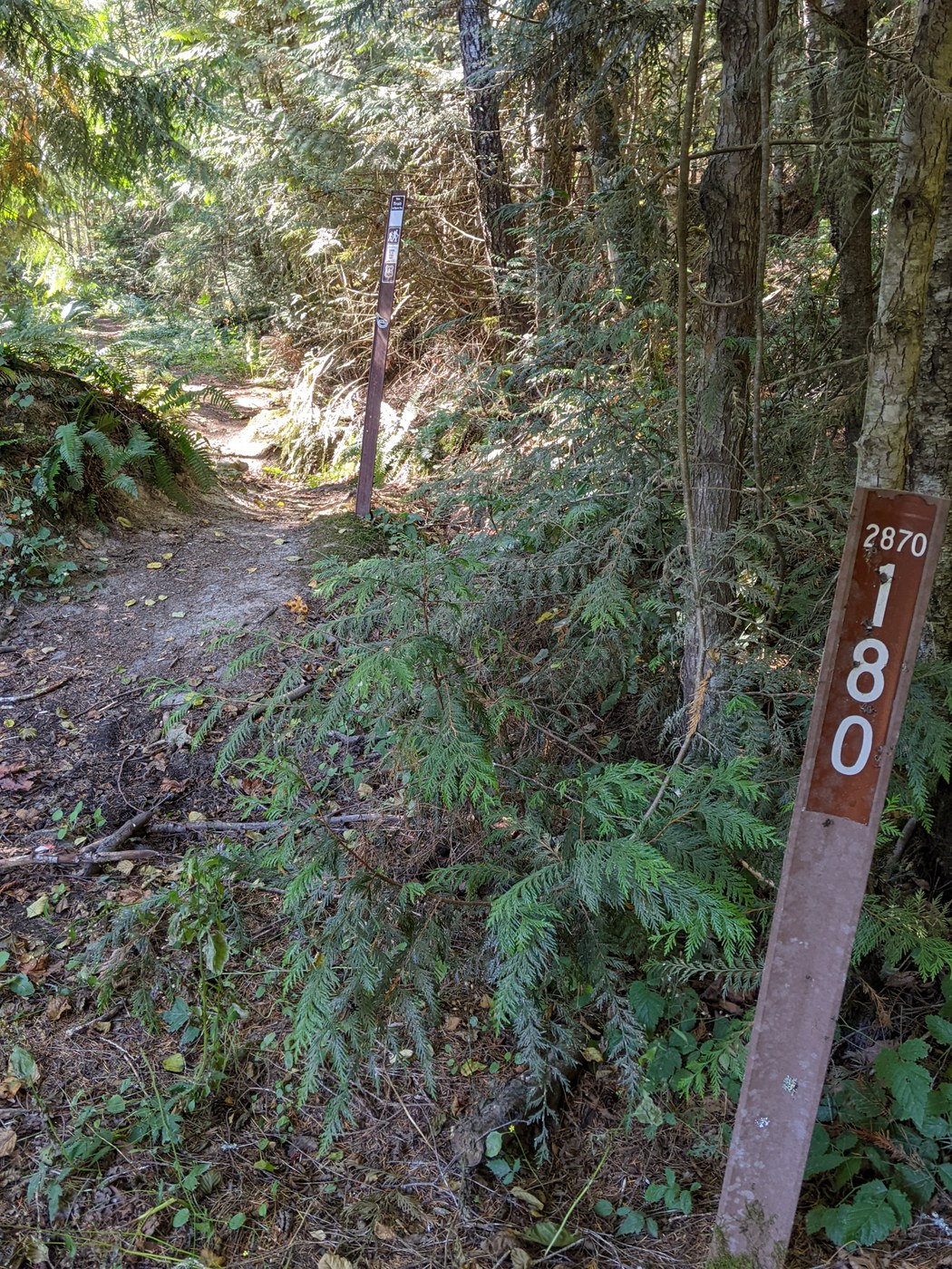
The trailhead is a bit difficult to find, partly because there are two trailheads: the old one and the new one. And the roads to the trailheads - forest roads 2880 and 2870 - are not well signed, so keep a sharp eye out for the signs that do exist, and bring a paper map - Google maps started getting lost soon after I left cell range. The "old" trailhead is near where the FR-2870 bridge crosses the Gray Wolf River; there's an unsigned turnout. Keep going past that for a mile or so and you'll find a second turnout, with a couple of obscure signs. This is the "new" trailhead; if you walk down the path a few yards you'll see a trailhead signboard that will confirm that you're at the right place. It took me a bit of scouting around to find the trailhead; hopefully this paragraph will make it easier.
Mine was the only car at the trailhead, when I parked and when I got back, and I was alone on the trail the entire time. Solitude! There were some strange deep knocking noises at one point on the trail - a woodpecker or bigfoot? I don't know. :-)
The trail was in pretty good shape, just a couple of trees over the trail that are easy to walk under. It's a bit brushy, which was OK for me in the fall. But given my recent experiences with ticks in the Olympics, I'd be real careful hiking it in the spring and early summer.
A little ways along there's a sign for an alternate path called the "Cat Creek Loop". It's a parallel trail that meets up with the main trail about a half mile farther down. I stayed on the main trail, and did the Cat Creek trail on the way back. The two trails are about the same; the Cat Creek trail has more interesting structures, even a bench to sit and rest on! If you do take the Cat Creek trail, make sure that you stay on it - there's a turnoff that presumably leads back to the "old" trailhead; I didn't take that. A beat-up little sign near the intersection helps to keep you on the Cat Creek trail.
The trail descends gradually to the Buckhorn Wilderness boundary, Two Mile Camp, and a little side trail to the river. The trail continues another couple of miles to what are supposed to be some interesting canyons (and an impassable washout), but this is where I turned around. knowing I would have to climb back up to the trailhead while still recovering from the illness. The river was pretty and peaceful, I rested and had lunch there. I would not want to camp at Two Mile Camp, it looked pretty rough and less than pleasant.
Overall, a nice walk that wasn't too difficult. I'd like to come back when I'm more recovered and go all the way to the end of the trail.


Comments