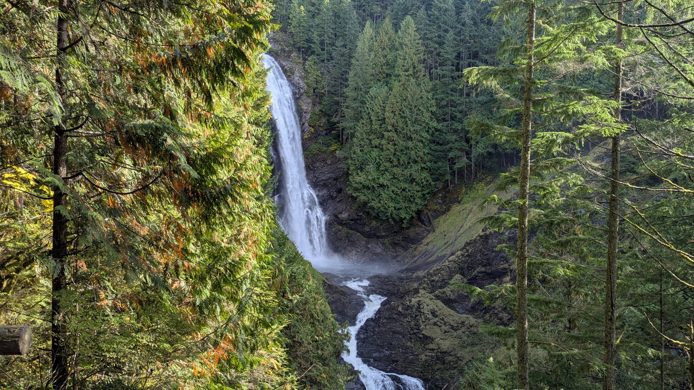
This is one of the most popular trails in Washington state so I’m not sure how much value there is in yet another trip report, but I’ll describe my experience nonetheless.
Wallace Falls is pretty, and in many parts of the country, including in my home state of Wisconsin, it would be one of the state’s signature natural attractions, perhaps the most stunning example of natural beauty in the state. However, by Washington state standards, it’s a bit “ordinary”. Nonetheless, it is a great option if you’re looking for a little outside time but don’t want a long drive to a trailhead (only ~38 miles from my home in Redmond) and don’t have the time or inclination for a “serious hike”.
I have hiked Wallace Falls on a weekend in the past, and it’s like a shopping mall on Black Friday. But, the experience on this mid-October Tuesday, a day with clear blue skies and mild temperatures, was much less crowded and accordingly much more pleasant. I’d estimate that during about 90% of my hike, there were no other hikers within my field of vision. I had the viewpoints all to myself, unlike the weekend experience where people have to jockey for position to get their photos (hint to all: on any hike, exercise some self-awareness when it comes to occupying prime photo spots for extended periods of time when others are around). And, the trailhead parking lot was less than 10% full.
This hike strikes me as a “mom and dad and kids” hike. The trail is wide and well-defined, with plenty of stairs and bridges and railings; there’s even a picnic shelter near the lower falls viewpoint. If you like more rustic hiking experiences, this may not be your trail. All the aforementioned stairs and bridges and such are in good condition; there were only a few isolated patches of mud, easily avoidable. No fallen trees across the trail. Very comfortable footing. Between the middle and upper falls, there are some rocky and rooty steps that were a bit slippery after rain the prior day, so be careful.
I am a healthy and fit male in my mid-50s, though not a world class athlete. I hiked alone and at a fairly deliberate pace with only a few quick breaks to snap photos. Here are my time stamps:
Start hike: 11:25 AM
Reached lower falls viewpoint: 12:10 PM (0:45 after start)
Reached middle falls viewpoint: 12:21 PM (0:56 after start)
Reached Skykomish Valley viewpoint: 12:35 PM (1:10 after start)
Reached upper falls viewpoint: 12:46 PM (1:21 after start)
Passed middle falls on the descent: 1:06 PM (0:20 after descent)
Passed lower falls on the descent: 1:12 PM (0:26 after descent)
Reached trailhead: 1:50 PM (1:04 after descent)
Net time, start to finish: 2 hours 25 minutes
Step count (according to fitness watch): 13,370
Water consumption: About half a liter


Comments