
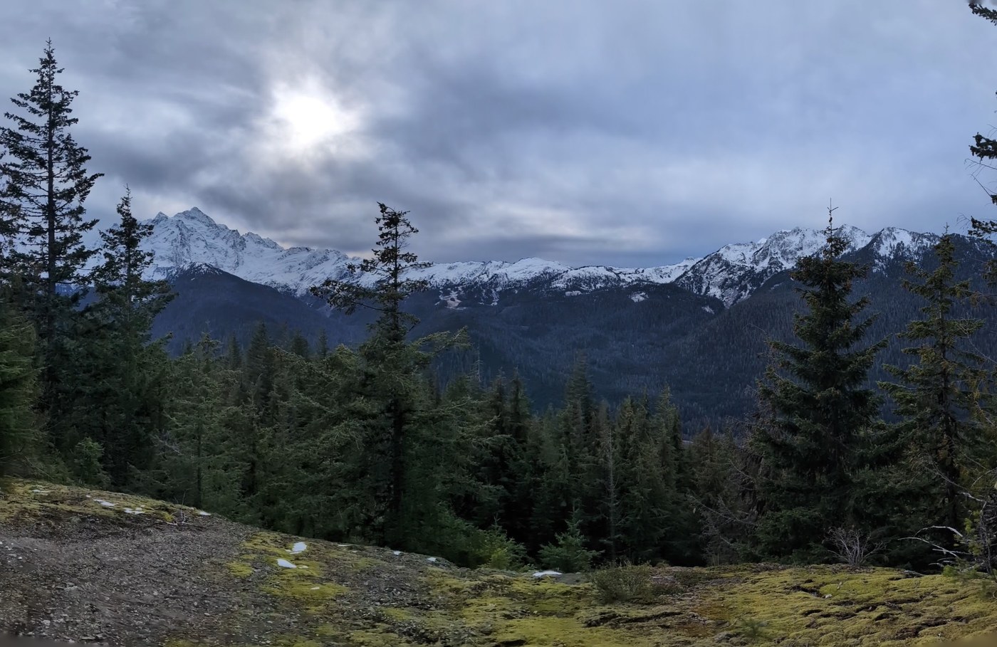
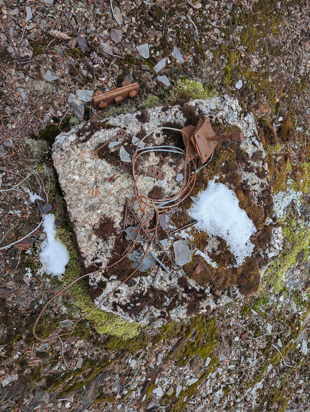
A miscommunication on meetup location (whoda thunk there's two Lafeen's Donut Shops?) led to choosing this unplanned destination that ended up being more of an adventure than needed. The road to the trailhead is in great shape and the trail itself was snow free until the old lookout site which was our destination.
Going off memory (uh-oh), I was sure I'd read the turnoff was at the Mt. Baker Wilderness sign. It actually looked like a faint trail was present, but it quickly petered out. Undaunted, we soldiered on until it became obvious, we were off course even though we were using a map on my friends Apple watch. Luckily, I discovered I had cell service and called our friend kidzwonthike and he texted his track. Realizing we were just a few hundred feet below the peak we simply climbed the path of least resistance and found the old site. Great view!
This was where we encountered the first snow and it was only maybe an inch or two, but we couldn't discern the trail for our return, so we bushwhacked our way until we connected to it below the snowline and followed it back to the main trail. There were a few step over trees and easily crossed creeks along the way. Though it was 32 degrees we never really felt cold. 5 miles, 1600 ft. gain.


Comments