
The road to the Kachess Ridge Trailhead is closed, with a snow mound barrier and a sign forbidding all vehicles from passing. So we parked at the turnoff from National Forest Development Road 4818 and walked to the trailhead, which is 1.4 miles each way. The road is completely snow covered but the snow was firm enough that just boots were fine, no flotation needed.
At the trailhead, we put on microspikes. The trail is mostly snow-covered with a few bare patches. The snow is very windblown and patchy, with deep sections and shallow sections, which led to some postholing. There are a few blowdowns on the trail but nothing too difficult to get around. After the switchbacks, once you reach the ridge, the trail is impossible to follow so we just picked our way through the maze of downed trees. We hugged the ridge, ascending towards Para Point while being mindful of cliffs to the left and right. This section of the route gets quite steep with some bad runouts, so depending on the snow conditions you might want an ice axe for security here. The bare trail peeks out here and there along the ridge but mostly it was covered with firm snow.
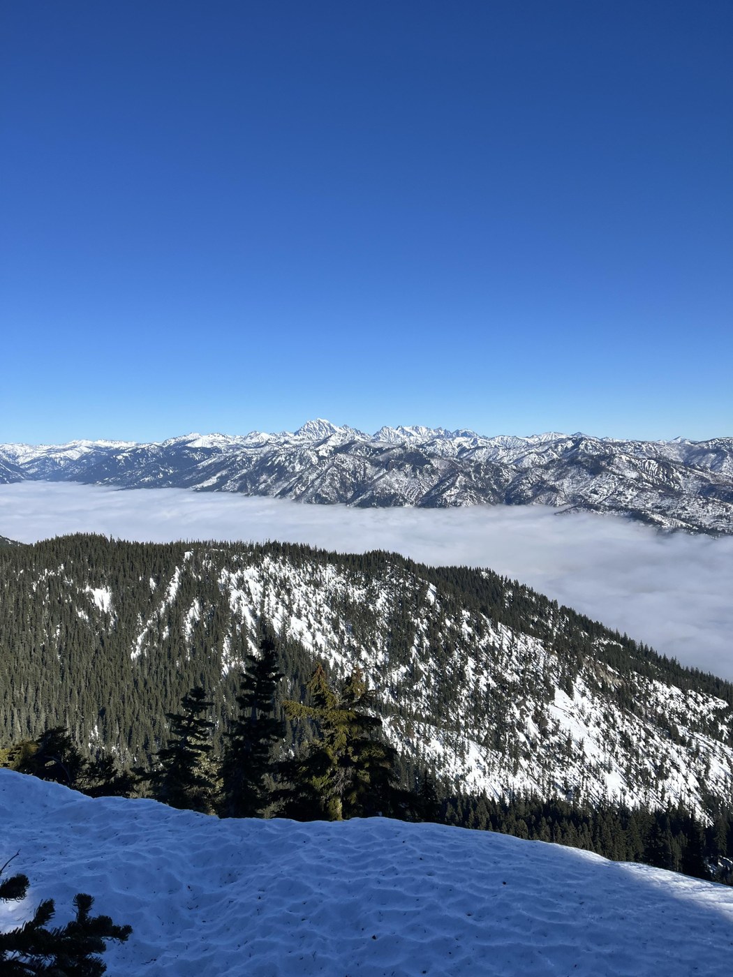
At Para point, we took a left to head north to Thomas Mountain. This starts with a descent of 200-300 feet which we were not looking forward to climbing again later. The snow got quite deep as we progressed so we put on snowshoes at this point. This greatly sped things up. The trail is not visible but there are some clearings that suggest a trail which we followed. The final ascent to the summit of Thomas Mountain is gorgeous, with dramatic views of the Stuart range to the east. One wonders why this mountain is not climbed more often.
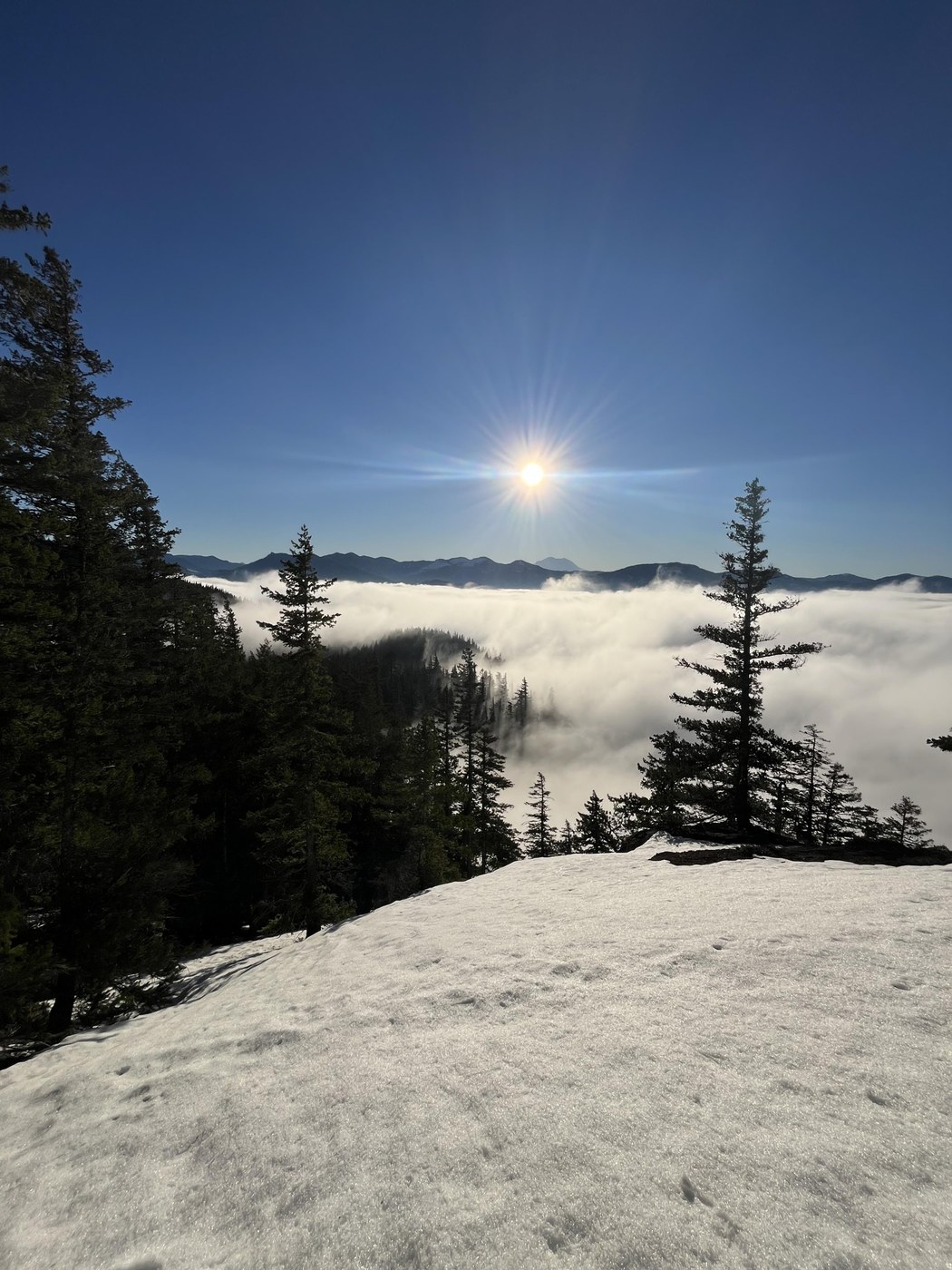
We didn't linger because of cold winds. The trip back was uneventful but featured some beautiful views of Rainier and Adams. We arrived back at the car at around 4:40 pm.
Distance: 12 mi, elevation gain: 3,900 ft, total time: 8 hours 42 min
Comments