
Stunning day with fog in the morning, an inversion up top, and a magical sparkling winter wonderland emerging on the way back down. We only needed poles and spikes, shockingly low snow levels! We had an incident on the way back with a group target shooting up hill across the trail but they took off as soon as they realized we were there, leaving their targets and a mess.
Road/Parking: Paved all the way and the bullfrog bridge is complete! Parking by the fire station, only one other car when we got there around 9:30-10, 3 when we left.
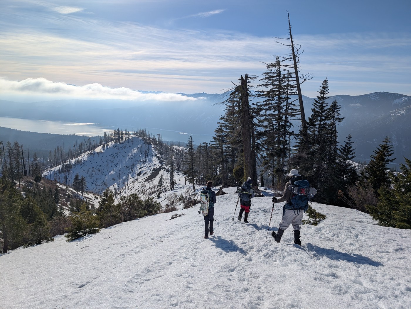
Trail: Starts out with a steady climb along the road, be sure to have a map because there are some turns. The first bit was bare, then just past the houses the plowing stoped and there were a couple inches of snow, bare in places. We started with a heavy gloom that turned to very chilly fog as we climbed. The trail intersection is marked and that is where it go a little rough. There are lots of trees to navigate in the burn area and some cornices along the ridge. Really cool ice and snow formations today, some looked like spiky white flowers on the bushes :-D The boot path fades and splits at times. We did post hole a couple of times on the way back around some of the tree falls. Other than those the snow was really solid.
Just before the top we popped up above the clouds and were greeted by the sun. It was bitter cold but had a lovely inversion! The top was totally bare and the final gravely feet were a bit treacherous.
Just above the second gate where the plowing stopped and motorized vehicles aren't allowed we heard shooting close by and rounded a corner to see two men shooting 9mm pistols at targets that were uphill across the trail. We had to yell and wave to get them to stop so we could pass, but as soon as they saw us the hopped in the ATV and took off.
Stats: Approx 7.6 miles, 2590 ft elevation gain/loss, 4.25 hours moving, 5 hours total. We had a moderate paced group that hikes weekly.


Comments