Trip Report
Staircase Rapids, Flapjack Lakes via North Fork Skokomish River — Thursday, Jan. 14, 2010
 Olympic Peninsula > Hood Canal

Day 1) arrived at staircase (1.5mi hike from the closed road to the main staircase campground). The road is always closed in winter so plan on a little walk to get to the campground. We were concerned that our car might be illegally parked because there are a bunch of signs stating that it was for "day use only", but I don't think this is an issue in the winter. Some locals were also parked there just taking a walk and they also said that it was never an issue. We arrived late and so we camped for free in the (completely deserted!) staircase campground. Backcountry permits were available to be filled out and you can mail in payment later. Main toilets and water was shut off but decent pit toilets with paper were open. Don't plan on making a fire if you visit in the winter.
Day 2) The bridge for Staircase rapids is out still, so if you want to hike more than a mile, make sure you are on the east side of the river starting out. We wanted to make it to flapjack lakes but made terrible time (made it about 6miles instead of 8) becasue MOST of the bridges were out and the water level was high. This is what I remember:
- TONS of trees over the trail. Don't even bother going if you can't hop a couple feet off the ground with a pack on.
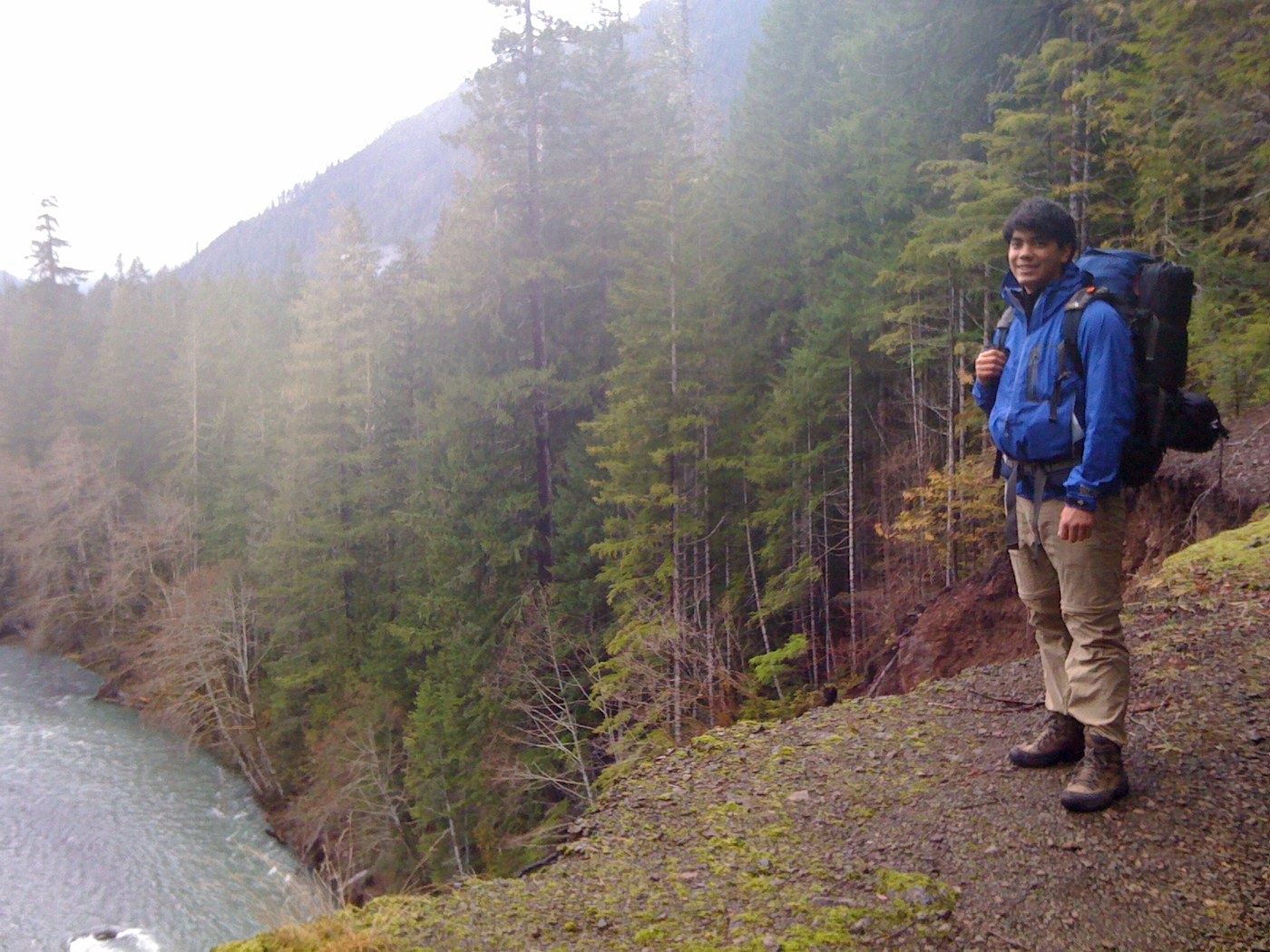
- about .25mi in, trail slid into the Skokomish and there is a somewhat scary path you can take around the precipice but I suggest just taking the somewhat not-noticeable path around.
- a mile in, there is a decent little bridge made out of a log that has a handrail.
- 3 more rivers between 6" and 24" deep, fast flowing current though. We managed to get over all of them by rock hopping and carefully sliding along fallen trees.
- The final doozy is the bigger river (forget the name) 2 miles after the turn off the main trail to get to flapjack. The bridge crossing the gulley was smashed by a tree and nearly folded in half. It is still there and you could *probably* cross without dying, but it would be foolish to try. Instead we spent the better part of an hour picking our way down the ravine via a "bypass" that leads to a river 3' deep and flowing fast. Lots of logs to jump across on but not for the faint-hearted because if you fell it would at a minimum be fairly scary and very cold (especially if you are carrying 45lb packs like we were).
By this time it was about 3:00 and since it starts getting really dark under the trees at 4 we decided to call it. There was a great little camping spot just on the other side of the river that we called home.
Day 3) The way out was much easier because we knew how to cross all of the streams. Took about 4-5 hours to pack the entire distance back to the car (about 7-7.5 miles) including a little lunch break.
Overall a great little adventure for a 3-day weekend. Gotta go hiking in the rain more often! Oh, and we didn't see a SINGLE soul on any of the trails, just a couple of people at the car and one guy taking pictures at Staircase campground.


Comments