Trip Report
Lord Hill Regional Park — Wednesday, Oct. 26, 2011
 Puget Sound and Islands > Seattle-Tacoma Area

I'd long written off Lord Hill Park as a place to go hiking. On previous hikes, I had found too much mud and too many horses, and not enough scenery to make the long drive to Monroe worthwhile. But this park, which protects a miniature mountain range with a heart of basalt, is just too big to ignore. Now that fall color season has arrived in the lowlands, I decided to give it another chance.
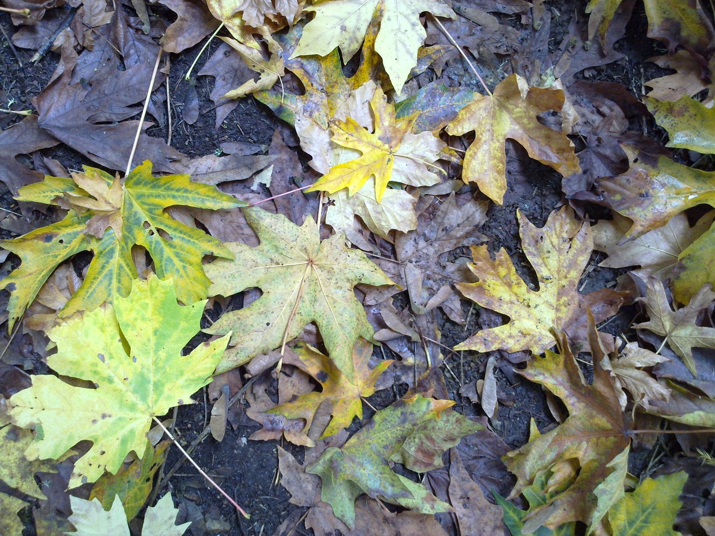
This time, I started out at the lesser-known Quarry trailhead, and enjoyed a thoroughly pleasant walk. The big maple trees glowed with reds and yellows, and nary a horse was to be seen. I wandered along the old road that follows the base of the quarry, then took an unsigned trail that climbed into a quiet valley with small ponds decorated with floating maple leaves. I eventually hooked up with the pipeline trail, which took me back toward the trailhead.
Many more trails seem to exist in Lord Hill Park than the official map shows.To get away from the equestrians, give some of them a try. For now, the park seems to be a multi-use extravaganza, with mountain bikes mixing it up with horses and hikers. In the future, the park should better define which trails are open to which users. And a network of hiker-only trails should be created, much like on Cougar Mountain Park (which this place resembles). Drainage issues on trails should be addressed - I saw not much in the way of drain dips and water bars on trails that could use them.


Comments
mato on Lord Hill
Looks like it's been awhile since you've visited the park. You may want to give it another shot...
There are many more bike trails now that at least get you away from the horses, and now there are a few hiker only footpaths. Not "official" yet, though I hear that is in the works. For now, the entrances are guarded with logs and branches to keep the bikes and horses out.
Two of the best start (or end) very near your first photo - the beaver pond at the north side of the quarry. As you look north across the pond, the multi-use trail enters the woods to your left. Just before that, at the end of the bridge, is a faint footpath on the left that follows the outlet stream of the beaver pond downhill for bit before turning north to follow the Snohomish River along the ridge. It is called the Riverview Footpath and eventually meets the River Trail, with access to the river. There is a great viewpoint of the river along the way!
The other trail starts near the same beaver pond. Go right and follow the "road" up the hill. At about 100 yds., just as it enters the cedars, look to your left towards the pond. There is a footpath off the embankment that is marked with a small sign on a cedar. This is the Midway Footpath, and it follows the beaver pond, then the creek as it meanders N/NE. It eventually pops out near the intersection of the Main Trail and Pipeline Trail, but if you follow it straight across, it goes all the way to the Boardwalks at the North Entrance. Highly recommend this hike! Probably over three miles in the woods, and not a soul in sight!
A great park for winter hiking. Have fun!
Posted by:
mato on Oct 10, 2016 10:23 AM