Today, cars were parked along the main road; it was obvious many were visiting Rattlesnake Lake and the connecting trails. It proved to be a good choice to pass on to the Cedar Falls Trailhead parking lot with plenty of open spots and begin the hike on the well established and maintained Iron Horse Trail.
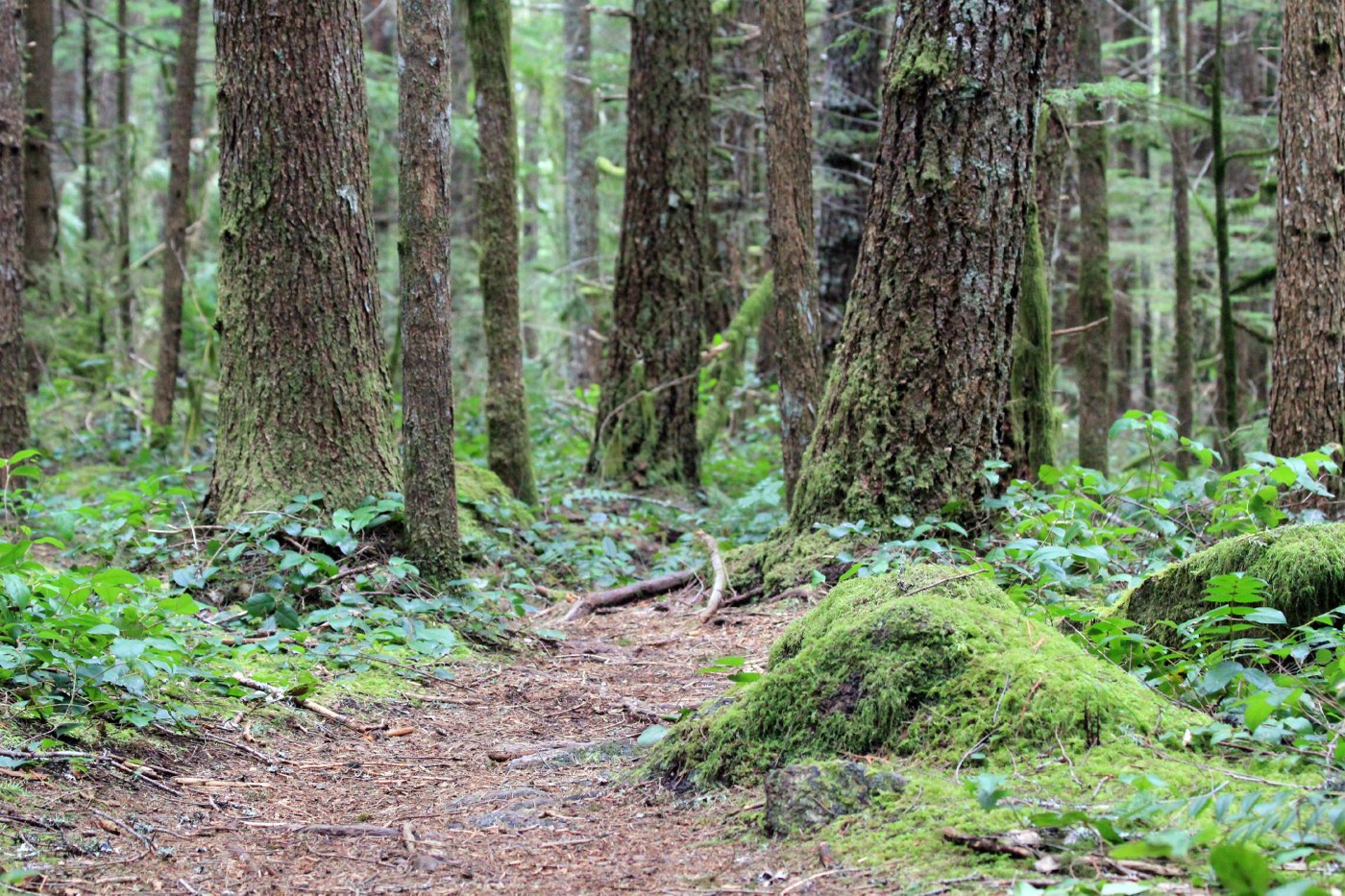
The actual beginning of the Cedar Butte hike is easy to find after crossing Boxley Creek. You immediately start to ascend into a green, lush forest. The trail is narrow, easy to follow and in the beginning has limited views. A few snow patches remain on the sides of the trail and on the forest floor along with slippery, muddy patches on the trail.
Follow the small trail signs to lead your way. The first juncture has a small arrow low on a tree stump pointing to the right. This is the main trail. The next trail sign is "Boxley Blowout Overlook" - lots of deciduous trees, not a clear view of much and now sure what was the "blowout." Only upon returning home did I find out that in 1918 heavy rains caused a blowout along Boxley Creek totally distroying the logging town of Edgewick. If interested, read more on the following link.
http://www.historylink.org/index.cfm?DisplayPage=output.cfm&File_Id=2426
Continuing on the trail, this area was definitely the top of the butte and was very flat and very green. Still in the forest with so much moss on everything everywhere - actually quite beautiful. Two more signs direct you to the summit and include a reminder of the fragile trail - no bikes or horses.
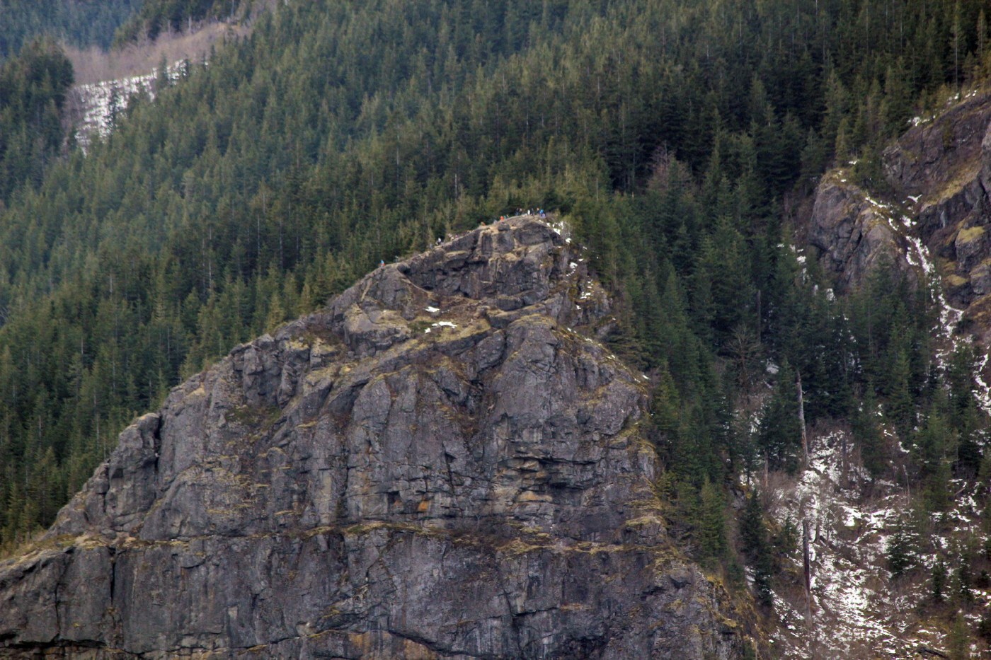
The last short ascent to the top is an easy climb including views of Rattlesnake Lake and the Ledges through the trees. The summit includes a bench and great views to the north. Bring your map to help identify all of the peaks including Mt. Si, Mount Teneriffe, Mailbox Peak and more.


Comments