Trip Report
Bandera Mountain, Ira Spring Trail - Mason Lake — Wednesday, Jun. 6, 2012
 Snoqualmie Region > North Bend Area

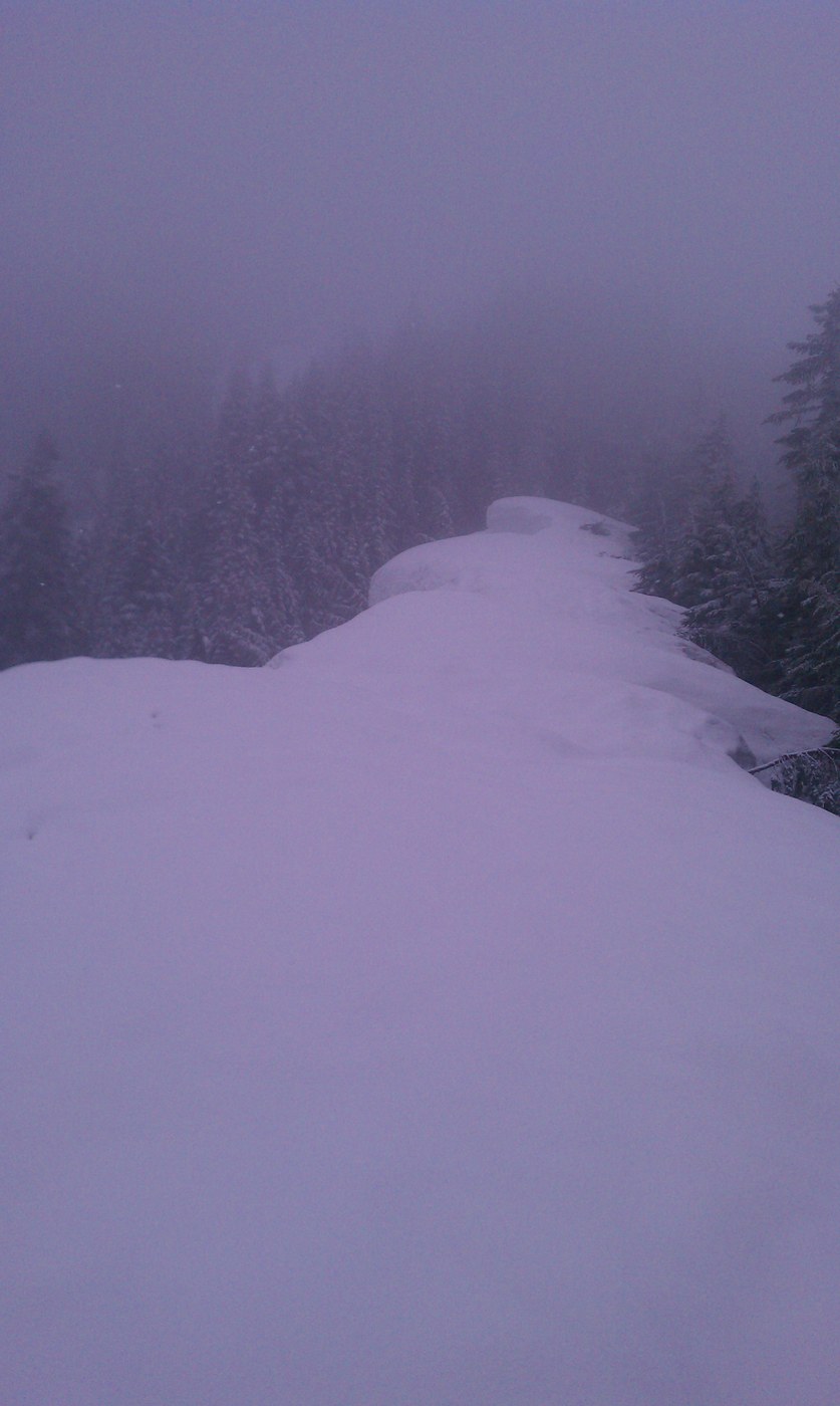
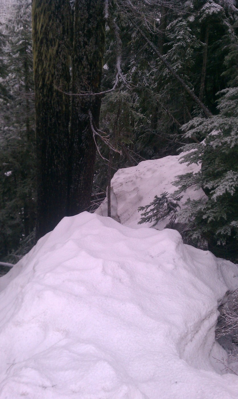
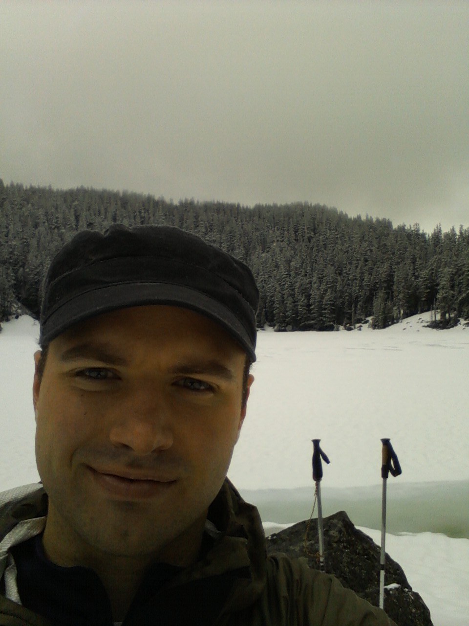
The goal was Bandera first then Mason lake and Mount Defiance for the finale...it didn't work out that way though. The trail is very well maintained (way to go WTA) and not very difficult,hikers in shape will have no trouble. The waterfall on the way up is pretty impressive and you'll get a few nice views of the I-90 corridor through brakes in the trees during the first couple miles. Around 4,ooo ft the trees thin and you are exposed to the sun(if you're lucky)or rain,snow,and wind if you're me. The trail splits with Bandera to the right and Mason lake to the left,sticking with the plan I headed up Bandera. The trip to the false summit is fairly steep with some boulders that you need to watch out for if you value your ankles. It began snowing pretty good and the clouds blew in dropping visibility to 20yrds or so,not really an issue until I got near the top. Once I reached the false summit I searched in vain for any sign of a trail to follow to Bandera's true Peak but due to the snow and low visibility it was not to be(the true summit is not much higher than the false and there was no view to speak of anyway). I headed back down to the split in the trail and made my way towards Mason lake. In no time at all you find a sign that reads Alpine lakes,be careful there is a lot of snow on the trail down to Mason lake and I wouldn't recommend the trip until we get some more heat and the snow melts. That being said I scrambled down anyway and found what I thought was the trail...following what looked like old snowshoe tracks I made my way to the lake(totally frozen over). A quick bite to eat I started out again in search for the trail to Mount Defiance,20 minutes later I was bushwhacking and post holing after following what I thought were more tracks but ended up being,well,nothing. Frustrated I retraced my steps and headed back for home. The trip didn't go exactly as planned but I thoroughly enjoyed myself and will be back for an overnight trip when the weather has warmed setting up camp by Mason lake and taking in the views from Defiance's summit.


Comments
Maybe not completely frozen over?
Defiance was completely socked in, though. Pity, it has great views! The route to it is pretty straightforward, surprised you had difficulty.
Posted by:
"Alex's Dad" on Jun 07, 2012 05:40 AM