Goose Prairie
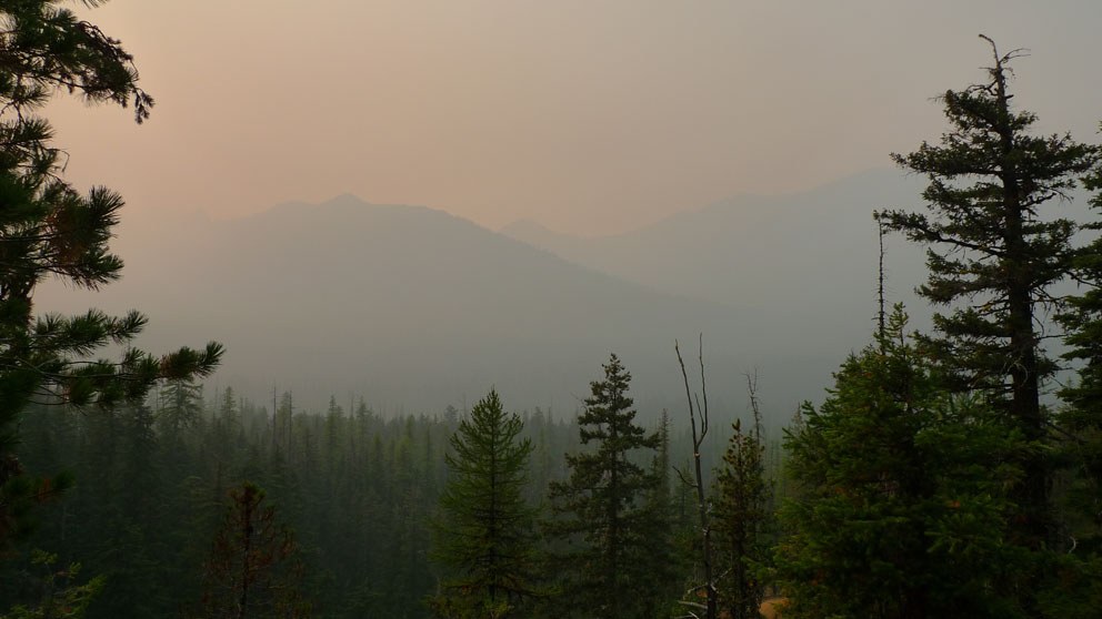
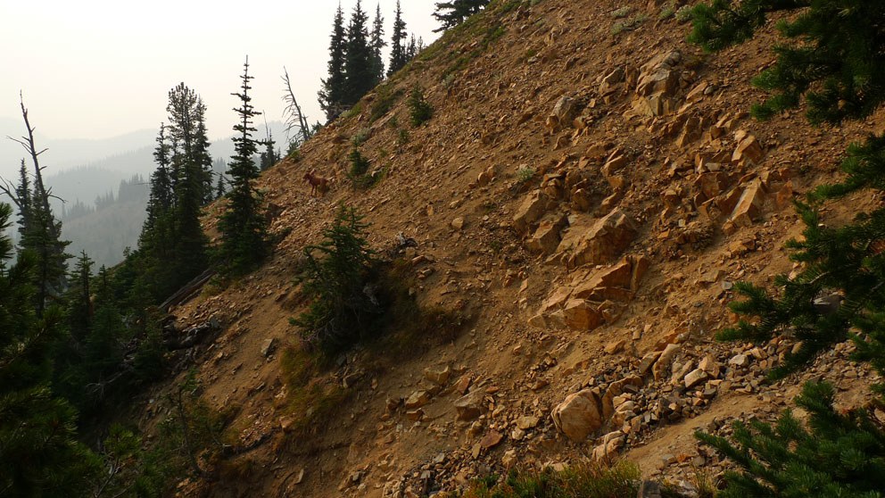
I didnt see a prairie or a goose on this hike. I did hear a couple elk bugling far too close to me however. This trail climbs up rapidly through the trees to a east-facing ridge where there is probably a view when it isnt so smoky from the wildfires. The trail is free from blowdowns and not technical. At the top it intersects the American Ridge trail.
American Ridge
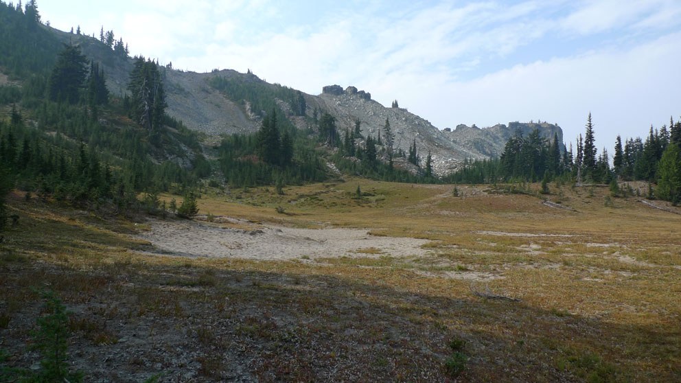
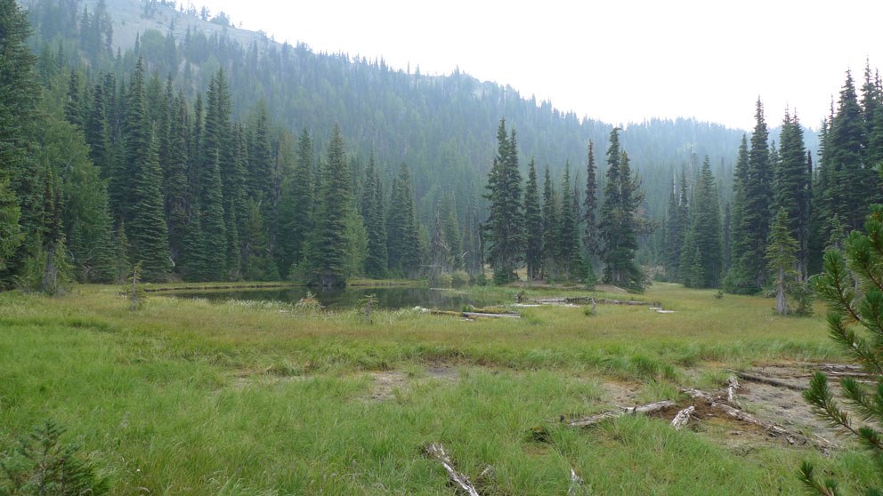
I followed the ridge from the Goose Prairie intersection southwest. It drops steeply down to Kettle lake, which is a small marshy hole, probably laden with mosquitoes earlier in the year. From there I continued on American Ridge for an all day adventure. The trail goes through several nice alpine meadows but climbs steeply up and down in the process. There was very little sign of travel on this trail. I wouldnt recommend this route unless you have a green trails map and a GPS/altimeter and know how to use them. The trees are blazed, so within the forest the trail can be followed if you pay attention. At each meadow crossing of above the treeline however, it becomes a game to find the "human" trail amongst the game diversions. About in the middle of this section, the trail climbs steeply up the ridge and over the top. There are no cairns and the trail is very faint through the rocks so you have to follow your instinct and look for the single tree with a blaze just over the top. The rocky ridge down the other side was easier to follow, until just after a nice campsite when it opened up into a large, beautiful basin and meadow with fiery orange huckleberry bushes. I looked for the trail re-entry on the other side for long enough to start to consider my options of an unplanned overnight or bushwhack out to the nearest road. But it was there, and finally I discovered a boot track which lead me around the ridge. Clue....stay at 6400' in the meadow. It was only another mile or so drop to meet the Masatchee Creek Trail. Because of the smoke, there wasn't much for views, but I can only guess they are probably pretty nice if you are up for the adventure.
Masatchee Creek
It was a welcome relief to reach this trail after my adventure of routefinding on the American Ridge. Note there is no sign at the intersection of 958 & 969. This trail is often travelled by horses judging by the deep dust, lack of blowdown and well...the poop everywhere. This trail drops mostly gradually, but later with switchbacks down to HWY 410. There is ample water supply, not deep enough to get my feet wet. The falls are beautiful, take a peek on the west end of the switchbacks. After the intersection with 968 at the bottom, there are 2 deeper creek crossings. The first has a log crossing option, though it is barkless so slippery when wet. The second features a washed out bridge (mentioned at the trailhead) but I was able to rock hop easily at the horse ford. The trail follows an old road for the last bit, and crosses through a primitive camping area until it reaches the formal trailhead parking area just off of 410. The top of the trail has the best views to the west, then of course the waterfall. Most of the time in the trees however.


Comments
trailhead access
Posted by:
"puff" on Oct 09, 2012 08:21 PM
i had a partner
Posted by:
"rnnrgrl" on Oct 09, 2012 08:21 PM