My buddy and I drove from the Tri-Cities and got to the Mailbox Peak trailhead at about 9:30am. We followed the directions given by the book/website and it led us right there. My buddy and I are both 27 years old. I am a mail carrier and I walk everyday for hours on end. My buddy does a lot of hiking and is in good shape (better shape than me.)
We started on the gated road and almost immediately there is construction where they are either making a new road or improving the new one. Don't follow that, stay left. At about a half mile there is a marker for the Mailbox Peak Trail.
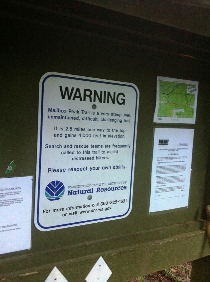
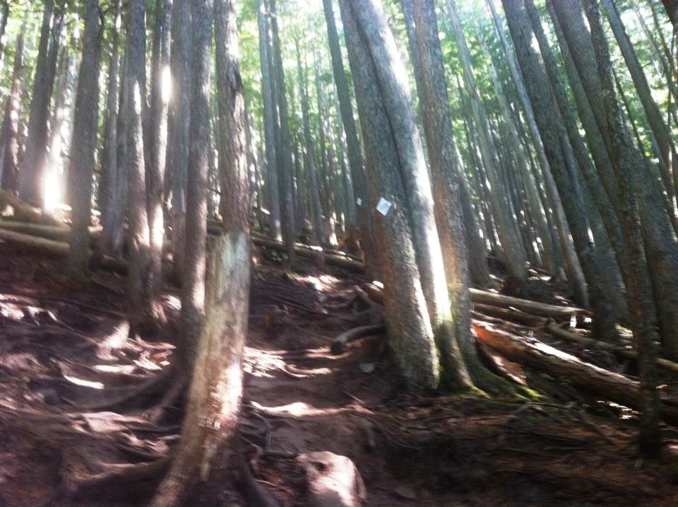
The hike becomes very steep pretty much right away. It was about 43 degrees at the time and my buddy and I were down to our shorts and t-Shirts in about 5 minutes. The weather was perfect. Partly cloudy and lots of sunshine. Although 3/4ths of the hike is completely covered by trees. The trail was very well marked by white diamonds on trees. There were a few times when we had to stop and look around for the next diamond, but nothing to worry about. I will stress that this hike is crazy steep. 4000ft in 2.5 miles. We both had hiking poles. I felt that they really helped on the way up. On the way down, I thought they were too much of a hassle. Highlighted by one of my poles bending and me falling. Decided to do without the poles for about the last 2/3rds of the hike. When you are hiking down through the forest you are grabbing onto the trees most of the time anyways. A lot better in my opinion. My buddy used his poles the whole way down. I think his legs hurt a bit less than mine.
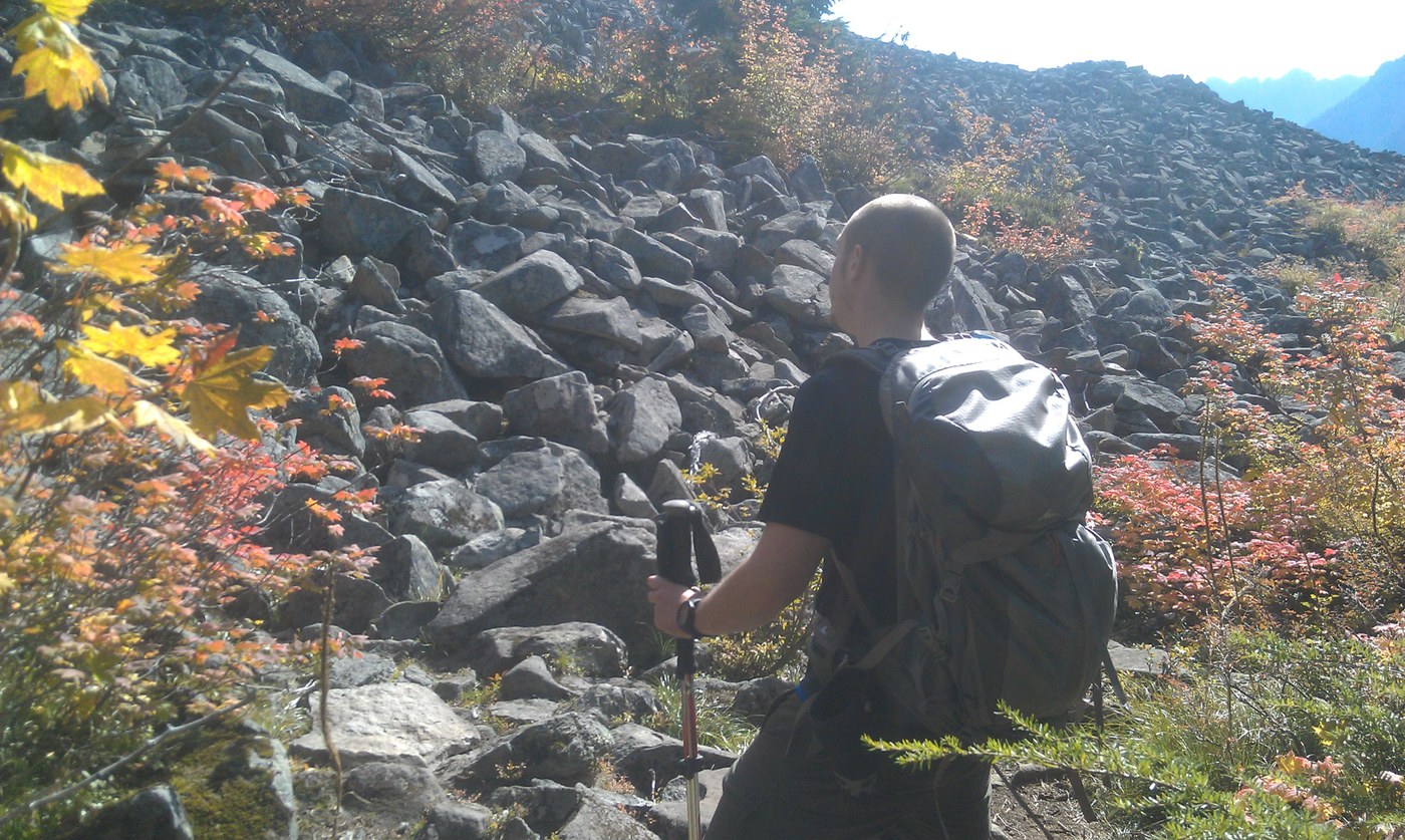
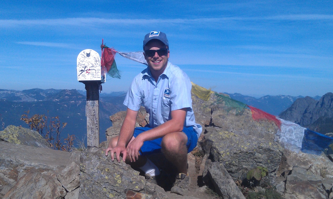
The hike up felt like forever. I was the one stopping for breaks... When you break out of the forest, I highly recommend NOT climbing the "talus slope" when it is not completely covered in snow. It's a bunch of loose bigger rocks. I would bet it is hell going that way. Just follow the trail to the left. The view from the top was amazing and well worth the effort. Make sure to sign the guest book inside the mailbox. I drank two liters of water on the way up and one liter on the way down. The temperature leveled out in the mid 60's. I don't think I could have hiked it in much hotter weather. Being in decent shape is a must for this hike. I could barely walk for two days afterward.


Comments