Trip Report
Lord Hill Regional Park — Saturday, Feb. 23, 2013
 Puget Sound and Islands > Seattle-Tacoma Area

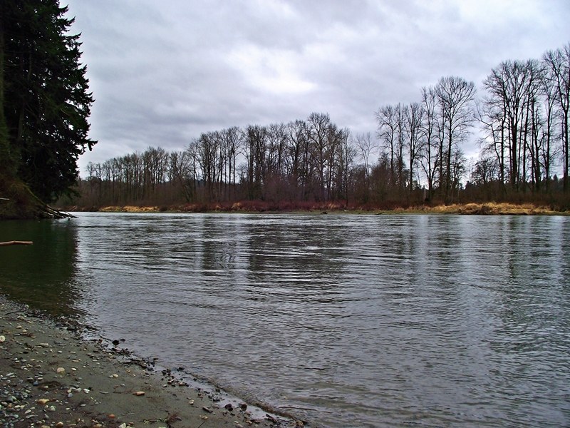
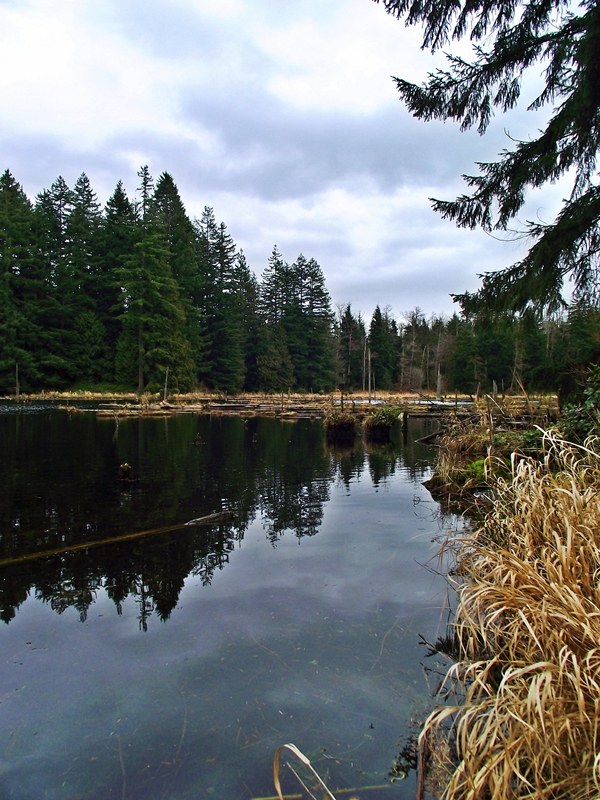
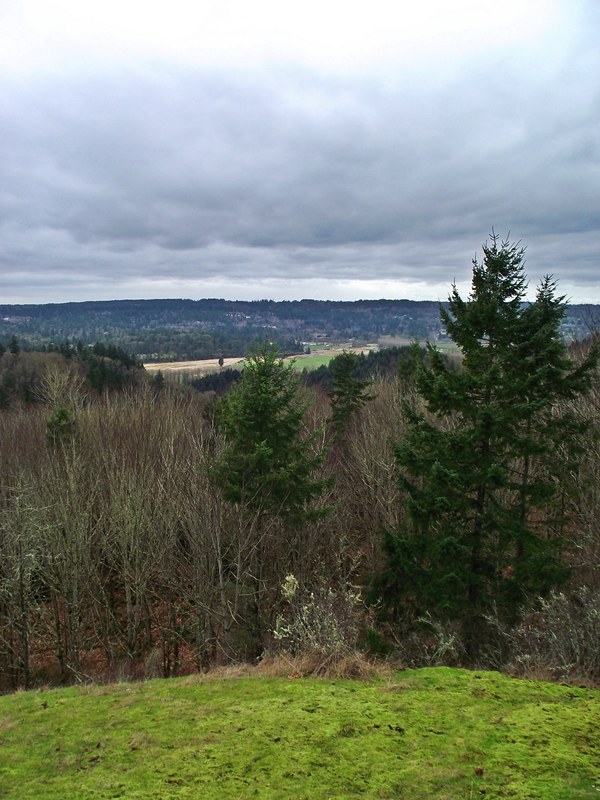
I decided to try a "bottom to top" loop route at Lord Hill today. From the Main Trail, I descended to the Snohomish River via the River Trail. I then came back via the River Trail Cutoff to the Pipeline Trail and followed that to the Pipeline Trail Cutoff and the viewpoint at 625 feet above sea level. Along the way, I took the short Temple Pond viewpoint trail. I figure the route is around 6 miles or so.
Most of the trails are in good shape right now but there is standing water and mud in several places. A good pair of boots or shoes you don't mind getting muddy are advised for these areas. There are also a number of spur trails popping up throughout the park. These trails are signed for hiking but are not on any of the "official" maps. I found one of these spur trails off of the Main Trail and followed it to an intersection with the River Trail. I wouldn't attempt these trails unless you have a map of the park with you as it is easy to get sidetracked without a map.


Comments