Trip Report
Poo Poo Point - Chirico Trail, Grand Canyon of Fifteenmile Creek — Tuesday, Jun. 18, 2013
 Issaquah Alps > Tiger Mountain

I'd wanted to do this hike for a long time but had put it off because the trailhead is somewhat hard to get to or, I should say, to park near. Ironically, the DNR's gated entry point along Tiger Mtn Rd SE is only a quarter mile from the trailhead, and there would be room for two or three cars to park without blocking the gate. But multiple signs proclaim "No Parking" and threaten violators with towing and fines. This image meshes well with the adjoining Mirrormont neighborhood which bristles with "Private Road" and "No Parking" signs. I know some hikers risk it, but I preferred to avoid the problem.
The obvious alternative trailheads are at Tiger Summit on Hwy 18 or at the south end of the TMT, and there is a very long northern approach from High Point. But I wanted to try something more novel. I parked at the glider landing field along Issaquah Hobart Road and began hiking up the Chirico Trail. The first half mile of this trail is one of my favorites in the Tigers, and I hoped I could avoid climbing all the way to Poo Poo Point.
My map shows a former spur road leaving Road 1500 and approaching very close to the Chirico Trail at about the 950 foot level. I knew that, when close encounters happen in the Tigers, boot paths often appear magically to connect them. All I had to do was find the path, if it did exist.
I climbed the Chirico past the first switchbacks, past the bench and up more. At the end of one switchback an obvious trail continues on straight, but it goes only a few feet. That wasn't it. A bit further up a more subtle path appeared on the right. The first few feet seemed minimal, but after 100 feet I was sure I had found the route. A narrow boot path bordered by tall, very moist grasses followed a much wider grade, clearly a former spur road heading downhill at a uniform slope. I was relieved since the alternative would have required several hundred feet of additional climb to access the West Side Road at Poo Poo Point; elevation I would have had to descend to reach Fifteen Mile Creek, then ascend again on my return.
Soon, my downward path reached Road 1500 and I turned left to follow the road. As road walks go it's rather pleasant: very green along the edges and in the center strip, and there is little evidence that vehicles pass this way (none did today.) A short way along, the road is joined from the south by a prominent trail not shown on my map, one marked by hoof prints: apparently an equestrian access from Mirrormont.
I continued on Road 1500. Just past a hairpin turn my map shows another former spur road joining Road 1500 and I noted that it, like the spur I had walked down, is overgrown and shows signs of a boot path of its own. I resolved to explore that path later in the day, as part of my return route.
Road 1500 meanders, mostly downhill, and eventually joins the West Side Road. A right turn there soon brought me to a bridge over Fifteenmile Creek, and I was astonished to see a great blue heron rise from the creekside and fly further upstream. The creek seems too small to offer many delicacies for such a large bird.
Another quarter mile along the road an obvious trailhead appeared on the left. There are no signs to identify it but it's clearly the Fifteen Mile Creek trailhead shown on the map. Very old trip reports mention a restroom facility here, often vandalized, and it is depicted on older editions of the map. But it's been removed and there is no sign of it today.
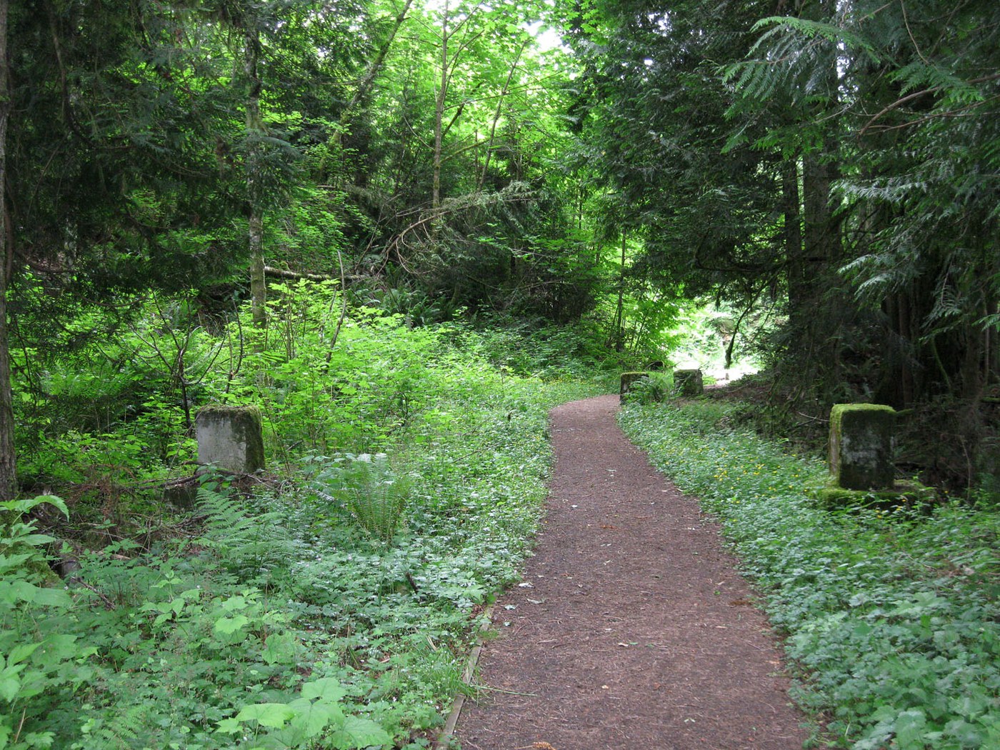
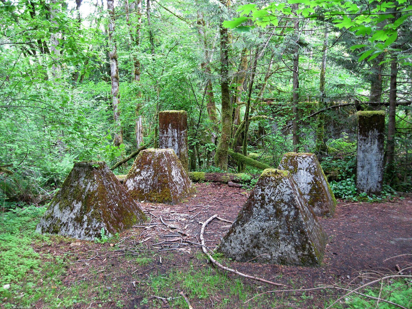
Near the beginning of the trail there are a few mysterious large concrete blocks of unobvious function. But further along an information sign comments that coal was mined here from 1925 to 1940, that the foundation of a "washery" can be seen near the sign, while those blocks near the beginning of the trail are from the foundation of a "crushery." Quaint terms from a bygone mining era.
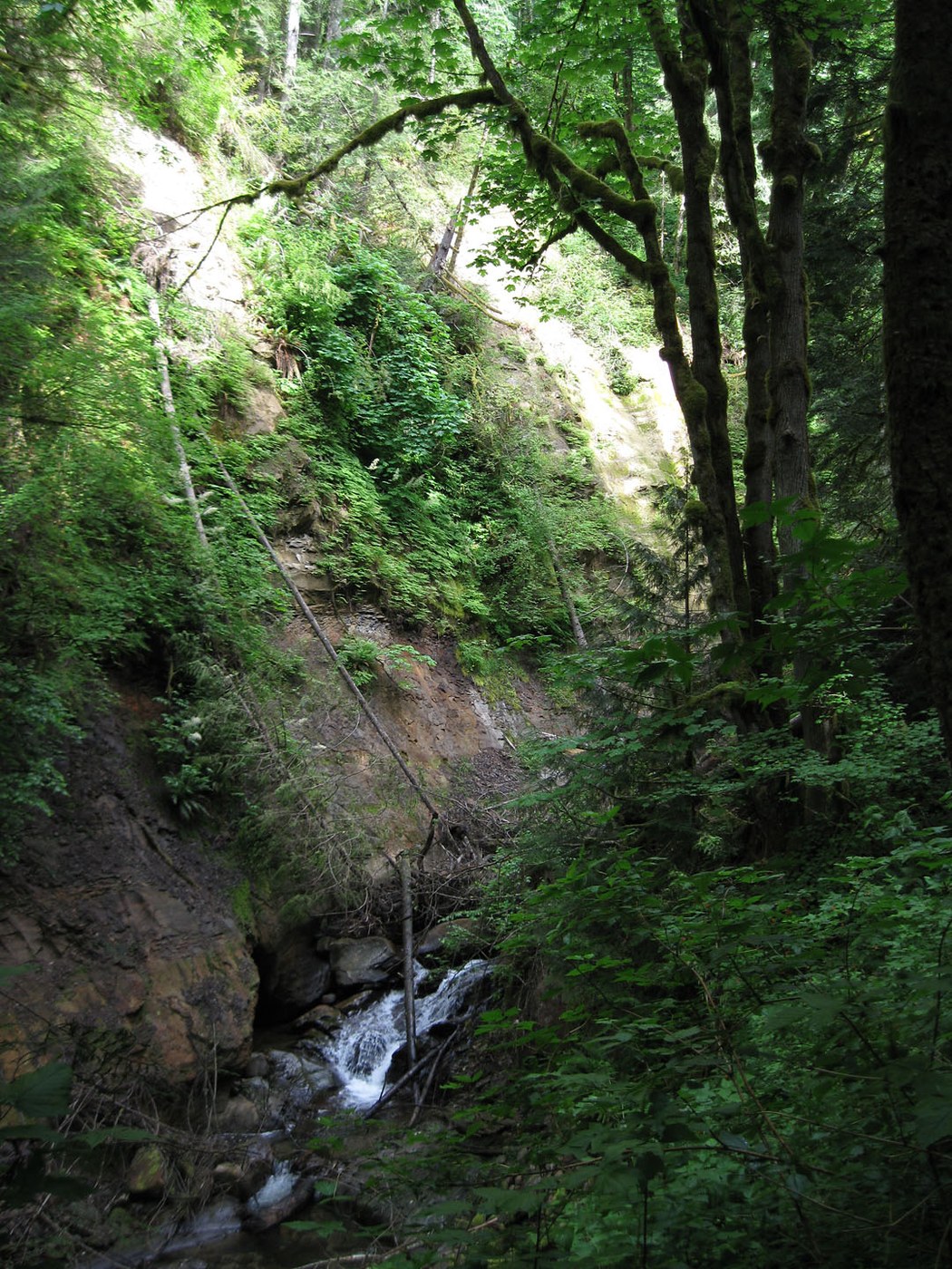
A short way past the sign the trail forks. The left fork ends a few feet above the creek at a viewpoint for a "waterfall." The fall is not particularly large and the view is partially blocked by blowdowns.
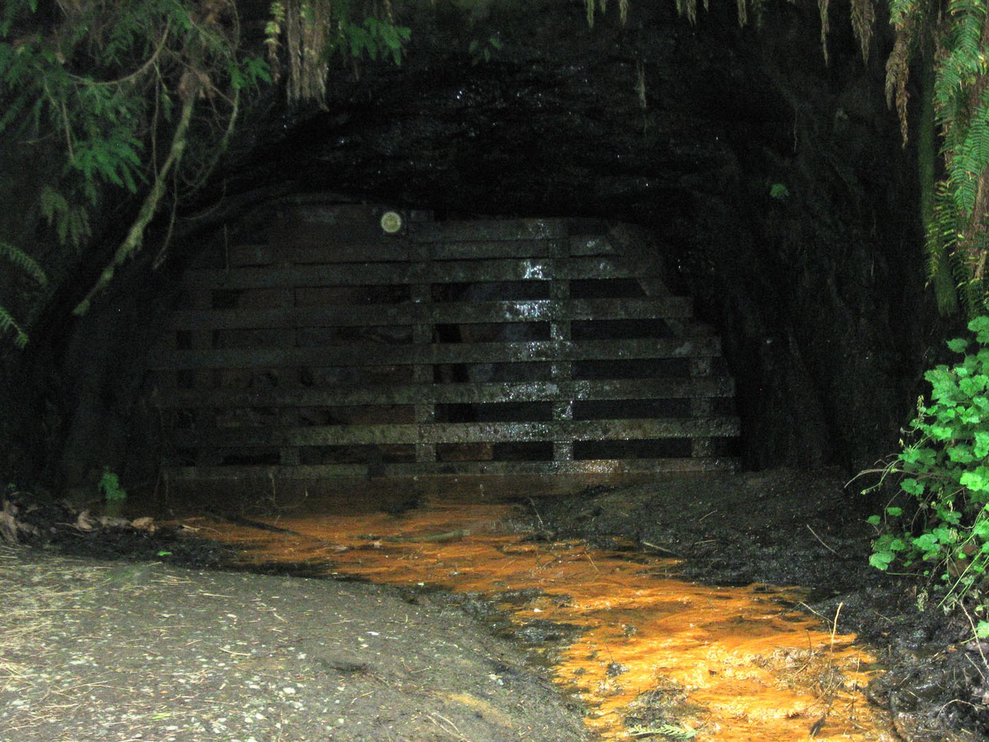
The right trail fork leads further upstream. Another signboard mentions former coal mining tunnels, and a path behind the sign leads to a tunnel entrance closed by a wooden lattice. Water drips from above the tunnel, and an orange sediment of uncertain composition emerges from within.
The trail continues a bit further and ends officially at a railing with a view up the steep-sided canyon. An unofficial boot path with blowdowns, washouts and some mud, continues another 100 yards or so upstream, then bends sharply right and heads up a steep hillside. It looks like a very minimal route, although a set of boot prints indicates at least one hiker has braved it recently. Presumably it would lead up to the Hobart - Middle Tiger RR Grade. I mused on the possibility, but decided it would take me too far off my intended route today and would lead to trails I already had hiked this spring.
So I began my return the way I had come. Near that hairpin turn on Road 1500 I detoured off on the boot path I had noted earlier. The map shows the former spur road ending well short of the Chirico Trail, so I was uncertain what I would find. The road grade does end soon but the path continues as a minimal track, sometimes traversing a steep hillside and occasionally heading a few feet steeply uphill. At one point I stepped over a couple of larger blowdowns and, abruptly, found myself back on an overgrown spur road, but with the boot path now heading downhill. This spur does not appear on my map. It passes through some prickly overgrown areas and eventually I could hear voices up ahead. The path does connect with the Chirico Trail some distance above my morning route, and I descended the Chirico back to the parking area.
This was an unusual hike, covering what for me were new roads and new routes. On the popular Chirico Trail I always encounter other hikers, but elsewhere today I met only a single hiker, on the road near the Fifteen Mile Creek trailhead.


Comments