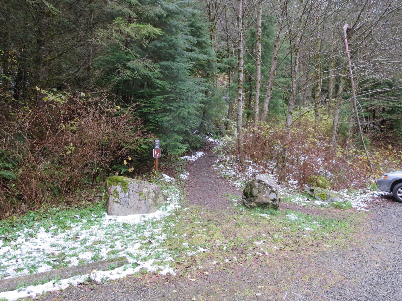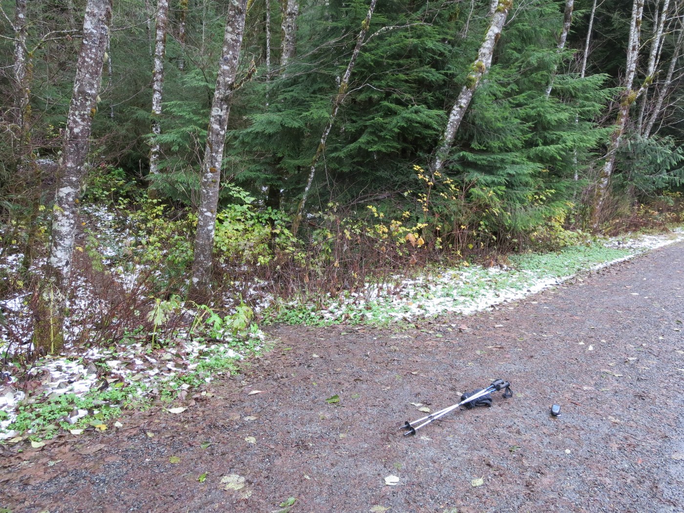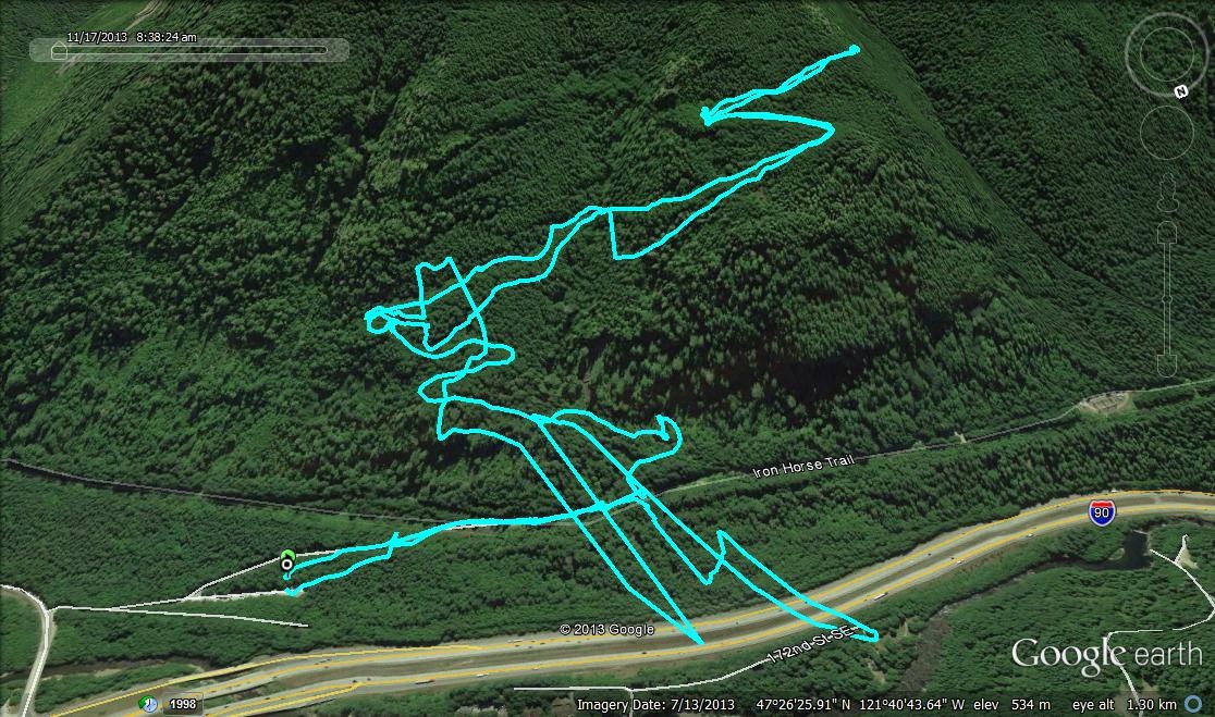
Located near North Bend, this trail transports you into dark forest without ever being far from the city. From the trailhead (Photo 1) at 1,281 feet, the way begins with a short but steep climb to a service road at 0.12 mile (elevation: 1,353 feet). At the junction (unsigned), stay right, following the wide and still-used road to where it intersects the Iron Horse Trail (signed) at 0.26 mile from the trailhead (elevation: 1,404 feet). You may not know it but you are now within the confines of Iron Horse State Park. Stay west (right) on the Iron Horse Trail and follow it as it parallels power lines 0.11 mile to a junction (Photo 2) (unsigned) with the Mount Washington Trail (elevation: 1,395 feet).
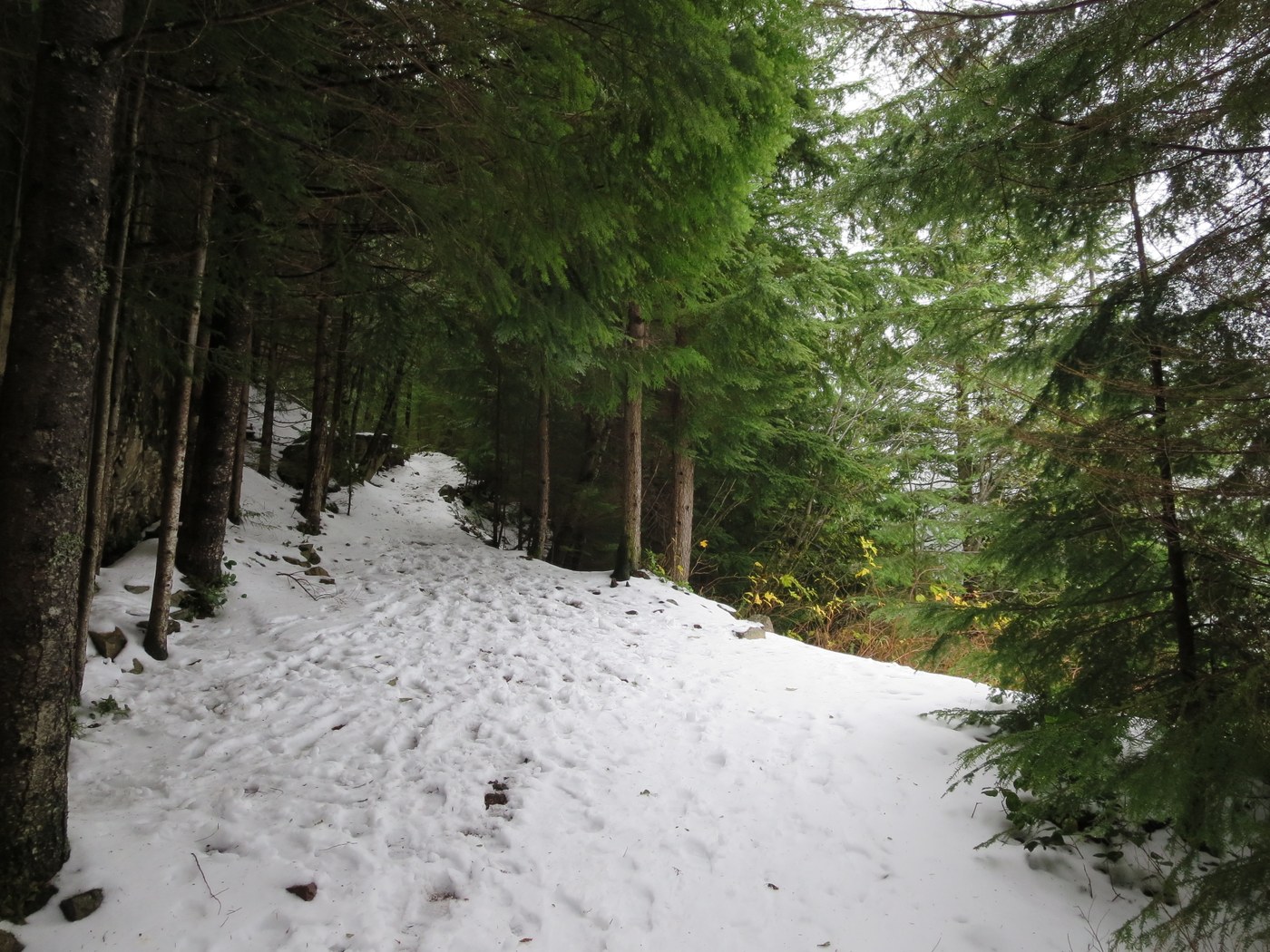
Turn left onto the Mount Washington Trail, leaving a wide roadbed for single-track. Word on the street is this was once an active logging road, but has been reclaimed by the forest and reduced to a footpath. Follow the trail as it zigzags up the mountain, steeply at times, leaving the state park behind. You’ll cross small creeks and pass under large rock formations locally used by climbers. At 1.80 miles, at a switchback in the trail, pass an unnamed side trail to the left (elevation: 2,631 feet). Keep right on the main path (signed). Cross back in to Iron Horse State Park and shortly after arrive at aptly named “Owl Spot” (Photo 3). Simply a maintained clearing in the forest canopy, at 2.08 miles from the trailhead, this vantage point yields great views to the west (elevation: 2,800 feet). Snack here and turn around for the return trip back to your vehicle.
--Conditions Update--
Patchy snow begins at an elevation of 1,487 feet, 0.51 mile from the trailhead. One downed tree between the Iron Horse Trail/Mount Washington Trail junction and the junction with the unidentified trail at 1.80 miles, easily negotiable. Two cars in the parking area upon arrival and seven upon departure. Round-trip hiking time of 2 hours, 32 minutes (8:37 to 11:09 a.m.).


Comments