Trip Report
Cedar Butte, Mount Washington — Tuesday, Jul. 8, 2014
 Snoqualmie Region > North Bend Area

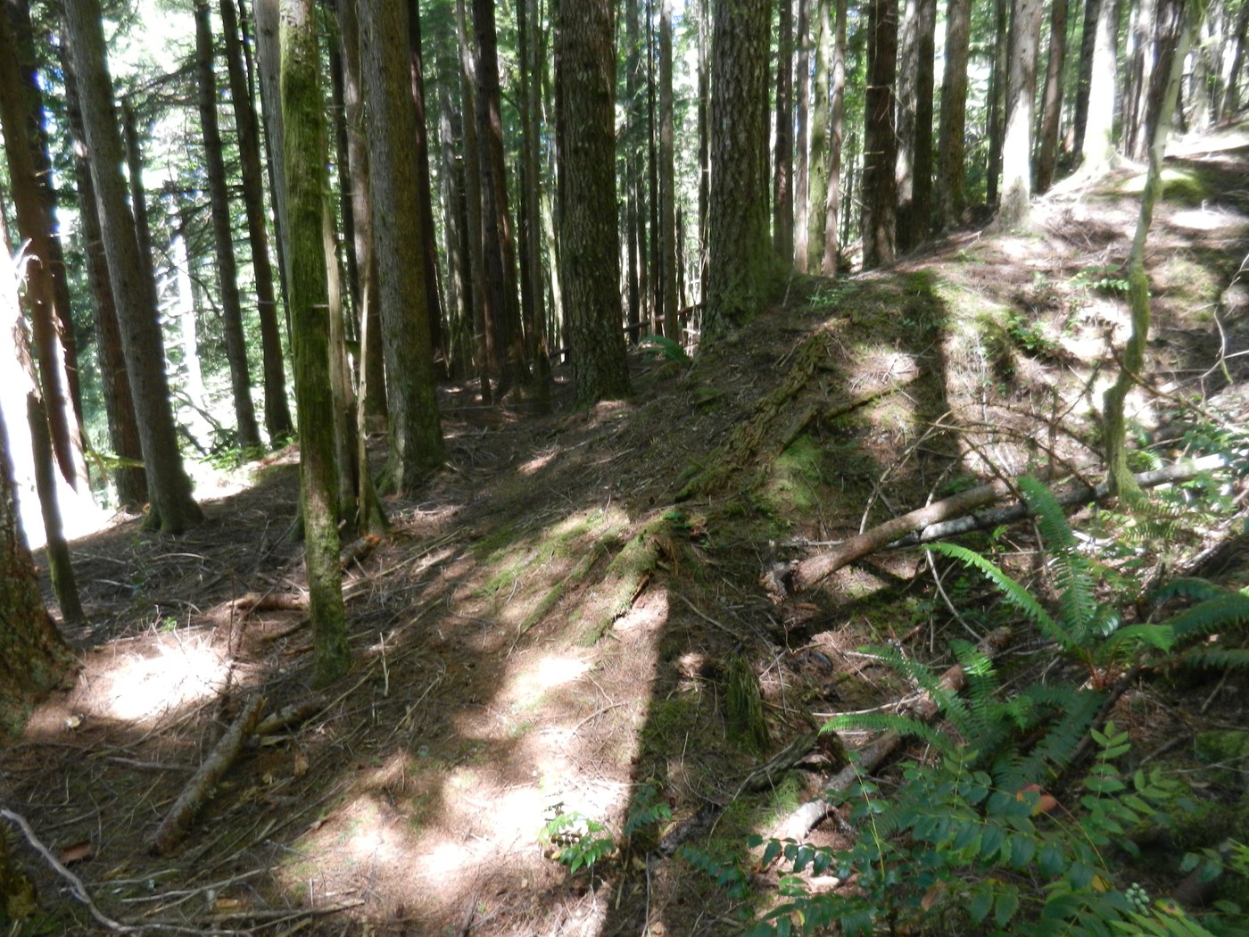
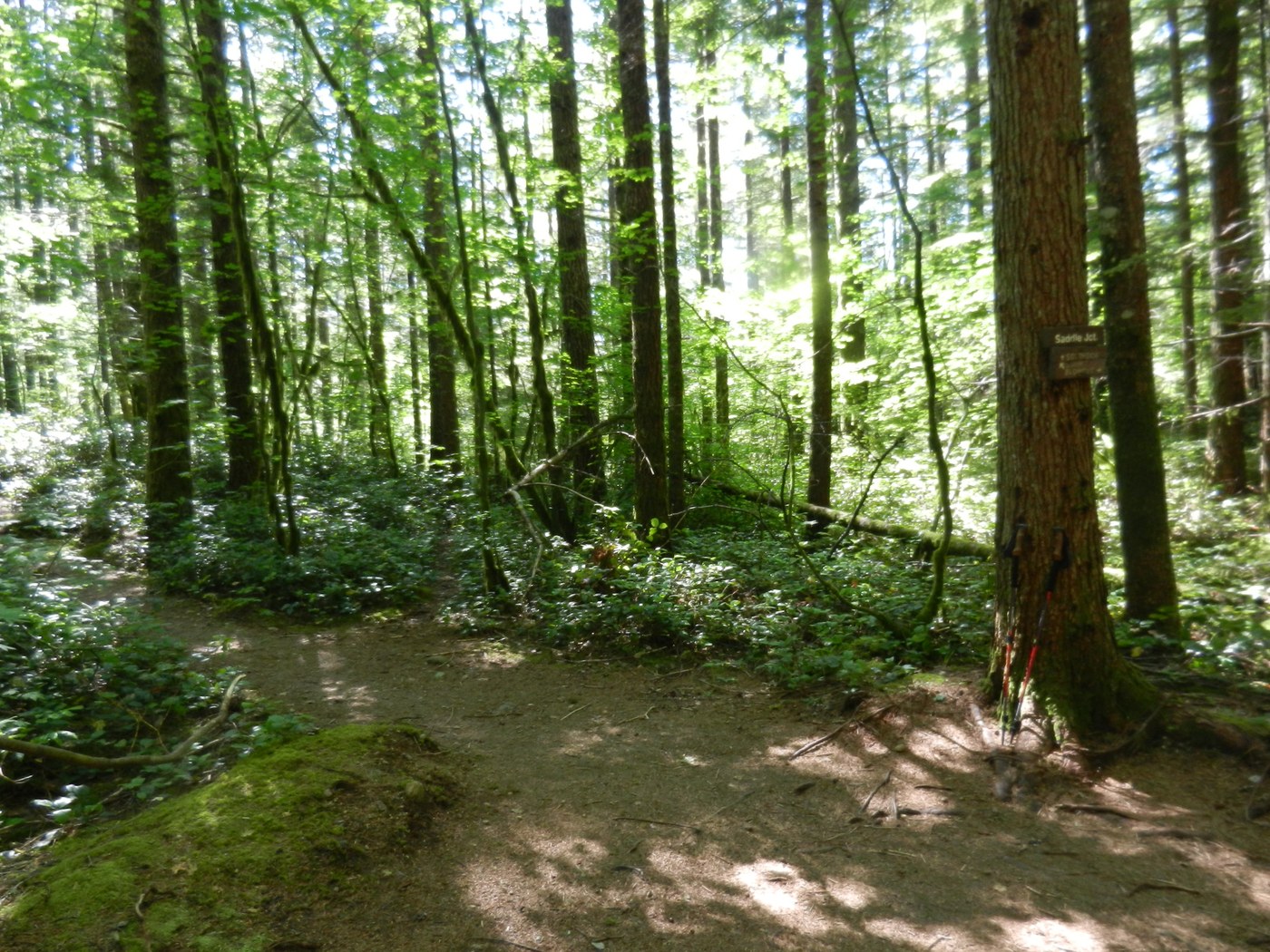
SOUTHSIDE TRAIL - I hiked up the Cedar Butte Trail to the three way junction at Saddle Jct. The left trail goes up to the Cedar Butte summit, right trail is the loop trail by the Boxley Creek Blowout and the center trail is the Southside Trail to Mt. Washington. I had first hiked up to Cedar Butte back in 1991 and a few times since then, and had always wanted to check out the Southside Trail, so today was the day. Most people miss this trail since it is over grown at the start with Salal and don't see it. The trail goes along the south side of Cedar Butte, first over a small ridge and then begins dropping down hill. One section, for about 100 yards long goes down a pretty steep section into a small valley with a dried up pond. Further on I entered a bigger flat valley area. I got to where it looked like the trail just ended, but it turned out the it made a sharp left turn where a large dead Hemlock had fallen down on the trail covering it up. Once past the dead tree the trail went through a tunnel of Vine Maple trees and then up over a small ridge. As I hiked along I had to keep a eye on where the trail was going, because at times it was hard to see. I got to the end of the flat valley section where the hillside dropped down hill. The trail looked like it just ended and became a game trail. I could see elk tracks. I turned around and headed back. About a 1/4 mile later I spotted a trail heading up hill to the left. This trail junction was not seen as I hiked the trail going the other way. So I took the trail up and came to an old logging railroad grade. From there the trail continued up to small flat area where the trail looked like to went straight ahead, but after scouting around, I found it went to the right up a small ridge line (which did not look like a trail at all) and came to the trail again. I hike up the trail on the west ridge line of Mt. Washington and passed the end of an old logging road with a survey lath and tied with a red/blue ribbons. Further up the ridge I could see down through the trees to the Ken's Truck Town area by I-90.
Since it was past lunch time. I found a log to sit on for lunch and check out my map to figure about where I was on the trail. After eating I went up a little more, but the trail became steeper, so my 65 year old knees decided it was a good time to stop and head back down. When I got back down to the flat valley area at the trail junction that is hard to see, I placed some branched across the trail that continues on about 1/4 mile and ended. That way it will be easier for other hikers to see where the trail make a sharp right to go up hill to the ridge on Mt. Washington. After hiking back though the flatter part of the trail near the dried up pond, I had to hike up the steepest part of the trail for the 100 yards (think Mailbox Peak), then up a lot more moderate grade back to Saddle Jct. and then down hill back to the John Wayne Pioneer Trail.
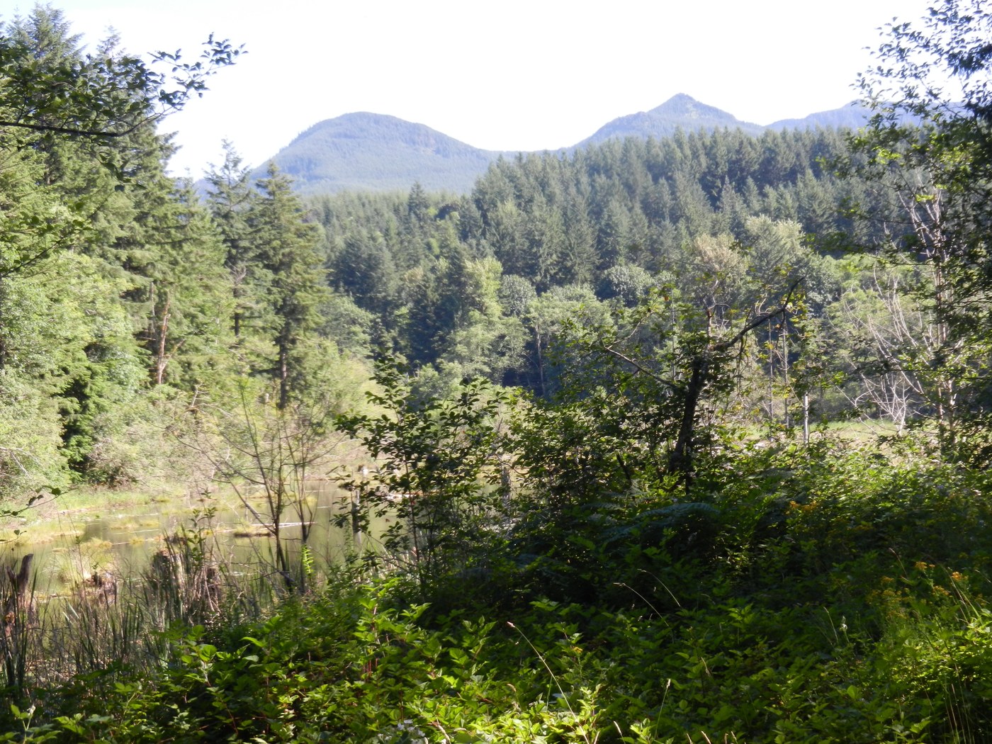
Since it had warmed up to 83 degrees in the afternoon, I decided to stay in the shade for the hike back to the Iron Horse State Park parking lot. I took the trail just to the west of the Boxley Creek bridge and headed over to Christmas Lake. The trail goes along the east shore of the lake and meets an old road at the north end. I followed this road out to the gate by the Snoqualmie Valley Trail and took this trail back to the parking lot.
Even after 61 years of hiking, it is still fun to hike a new trail for me. The Southside Trail is still in pretty good shape, just over grown in some areas. Looks like it may have been the original trail to the summit of Mt. Washington before the logging roads where built that hikers use now days as part of the trail up the mountain from Exit 38 on I-90. I don't know how the Southside Trail is further up the ridge from where I turned around. There where a few fallen trees to get over or around on the part I hiked. You are in the conifer trees all the time for this hike. It also helps to have some route finding experience for this hike, as some people could get lost. George


Comments
Not on Map
I forgot to mention that the Southside Trail is not shown on any hiking map or in any guide book.
Posted by:
"George & Sally" on Jul 09, 2014 10:40 AM