Trip Report
Grand Canyon of Fifteenmile Creek — Thursday, Sep. 4, 2014
 Issaquah Alps > Tiger Mountain

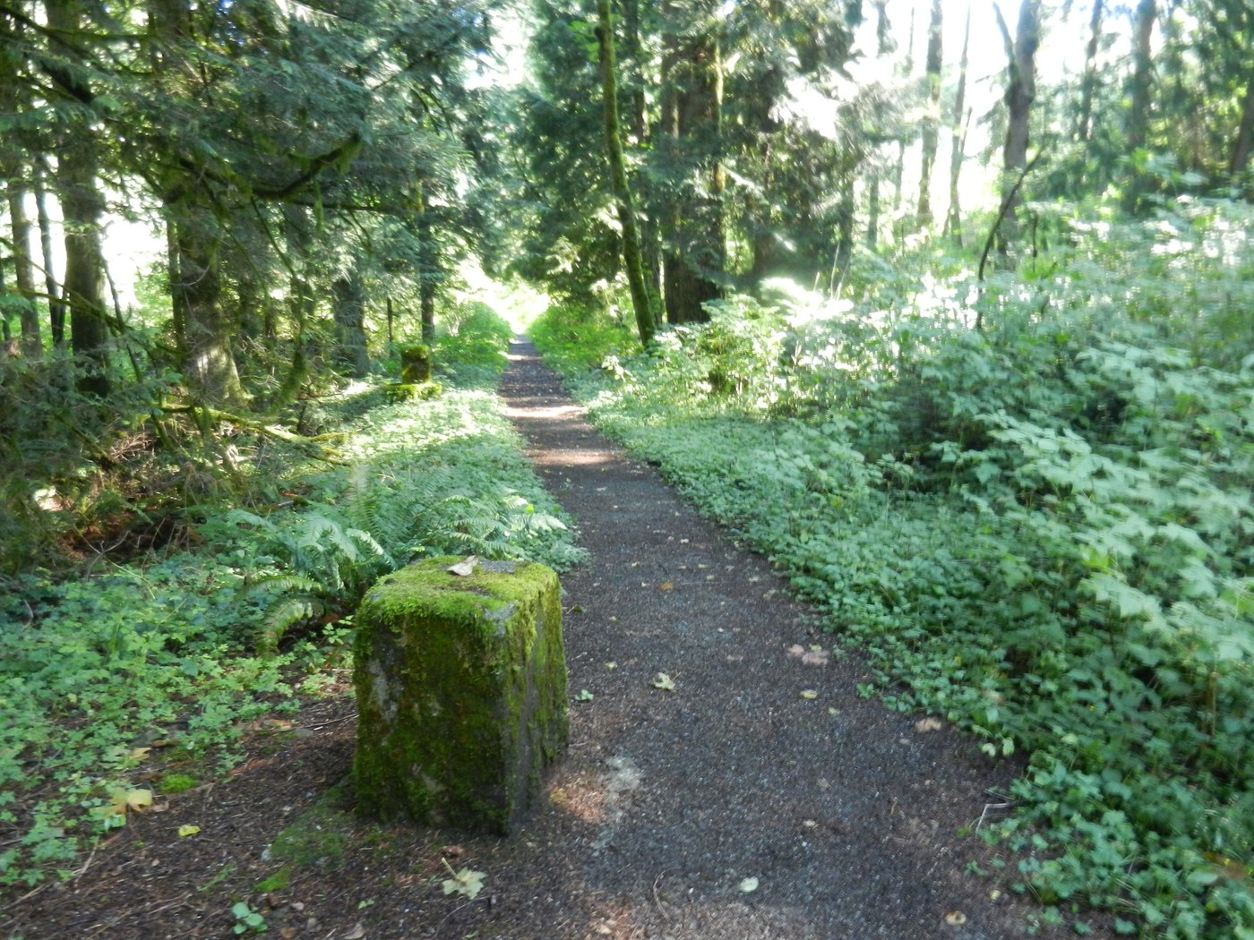
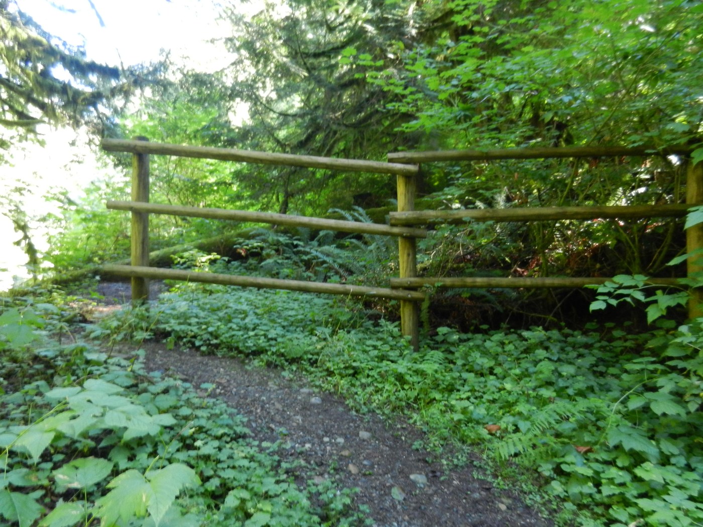
This was one of the few trails on Tiger Mtn. I had not hiked. Since the trailhead on the Westside Road would be a long hike from either Tiger Summit on Highway 18 (extra 9.8 miles round trip) or from the Chirico Trail (extra 8.8 miles round trip), so I parked at a friend's house for only about a 15 minute hike. The DNR trailhead parking area still has a horse hitching post, bicycle stand and a wheel chair ramp. The trail is on the old coal mine railroad grade and begins by some concrete footings for the former coal crusher building. Further up the trail I crossed a wide foot bridge and came to an interpretive sign telling about the old coal mine. Near by is the coal washery concrete foundation where the coal was washed before being crushed. I then crossed another wide foot bridge and followed the trail around a corner and along Fifteen Mile Creek. I soon came to a wye and went left on the flat trail out to the waterfalls view point. There is another interpretive sign with information on the formation of the canyon. There are two wooden benches and a wooden pole fence above the steep creek bank. People have pulled some of the railings out of the fence posts and thrown them down into the creek. I then back tracked to the wye and went up hill on the right fork (this trail is not shown on the GT map for Tiger Mtn.) to the old coal mine entrance. It is gated off. The mine operated from 1925 to 1940. A little further on is the end of the official trail. The trail continues on but is very over grown and part of it has slumped off down to the creek.
I could see that this trail built by the DNR was at one time an ADA accessible trail with a smooth gravel surface. After the DNR gated the Westside Road down by Tiger Summit and closed the road to vehicles, they removed the restroom and trailhead signs. There are a few wooden benches along the trail to the waterfalls viewpoint, but most are now over grown with berry bushes as well as the a lot of the trail it self. Looks like DNR has abandoned this trail and no longer does any trail maintenance on it. It would be hard to get a wheel chair up this trail now.
Looks like this trail was named the "Grand Canyon of Fifteen Mile Creek" because it is the deepest creek canyon on Tiger Mtn., not because it has any resemblance of to one in Arizona.
Did not see any other hikers on this trip, or any animals or birds. When I got back out to the Westside Road, a paraglider mini bus and trailer full of chutes came by heading up to PooPoo Point. I understand they pay a fee to DNR to be able to drive on the road.


Comments