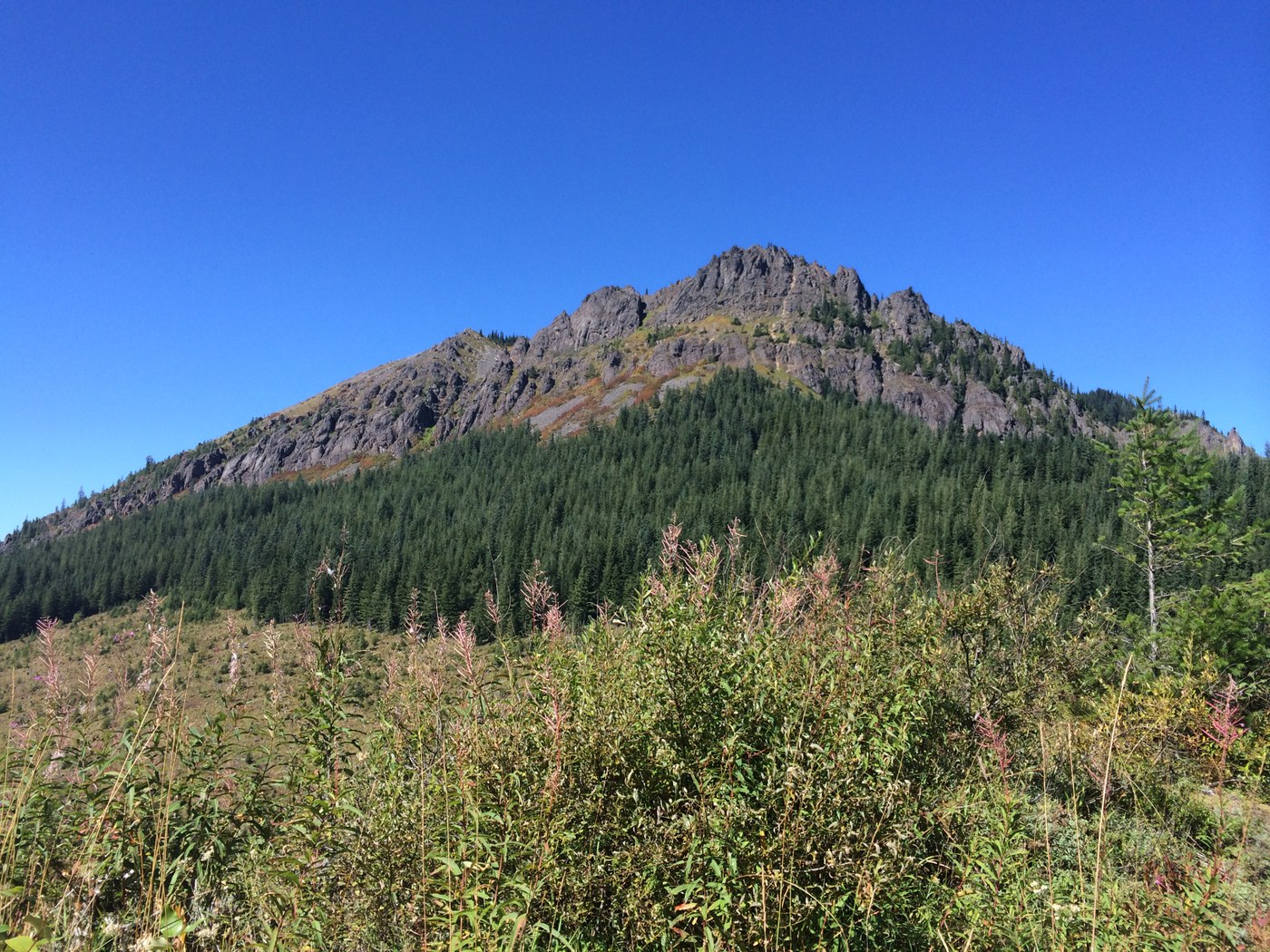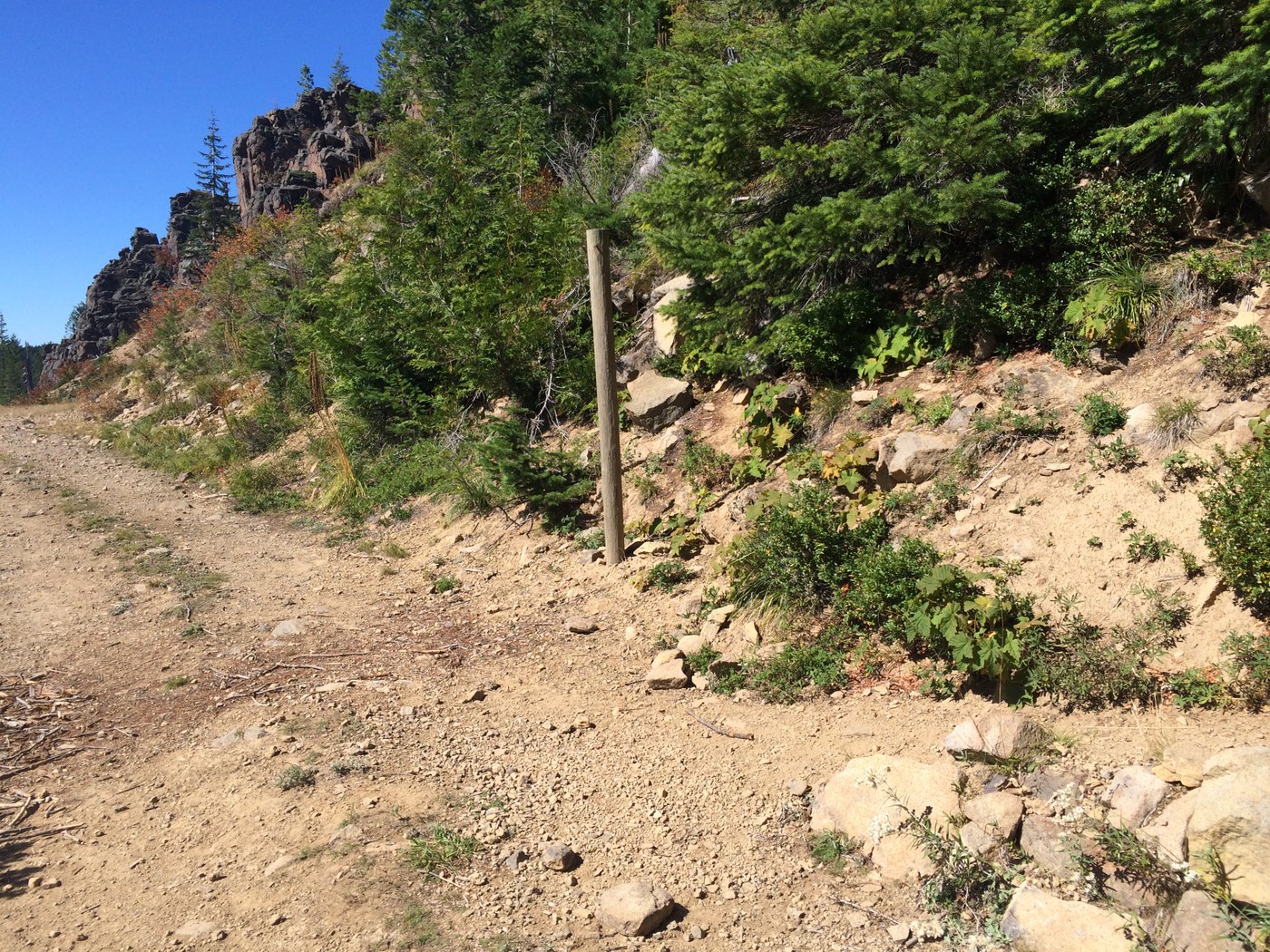
Directions on WTA.org are great - not hard to find. However, the coordinates are incorrect on the site. The CORRECT coordinates are 47.16329, -121.47421. After turning off FS 70, roads were a bit washboarded and pot-holed, but not bad. FS 70 is in GREAT shape - paved the whole way and in better shape than some downtown Seattle streets. :)
Trail is easy-to-follow. First part of the trail is a former Forest Service road and is great for hiking. The switchbacks were nicely done - they made it way easier to climb. But be assured that the climb is brutal (at least for a 6 year old and a mama carrying a 3 year old)...but totally worth it!
A word to acrophobics: there are some places that will make you panic and make you want to turn up...don't do it! I'm a functioning acrophobic who desperately wanted to turn around at several spots. I pressed on and am so happy I did. I think the wind made the exposed nature of this trail a little more nerve-wracking. It was a bit windy today. I don't think that I would have minded had the wind been less prominent.
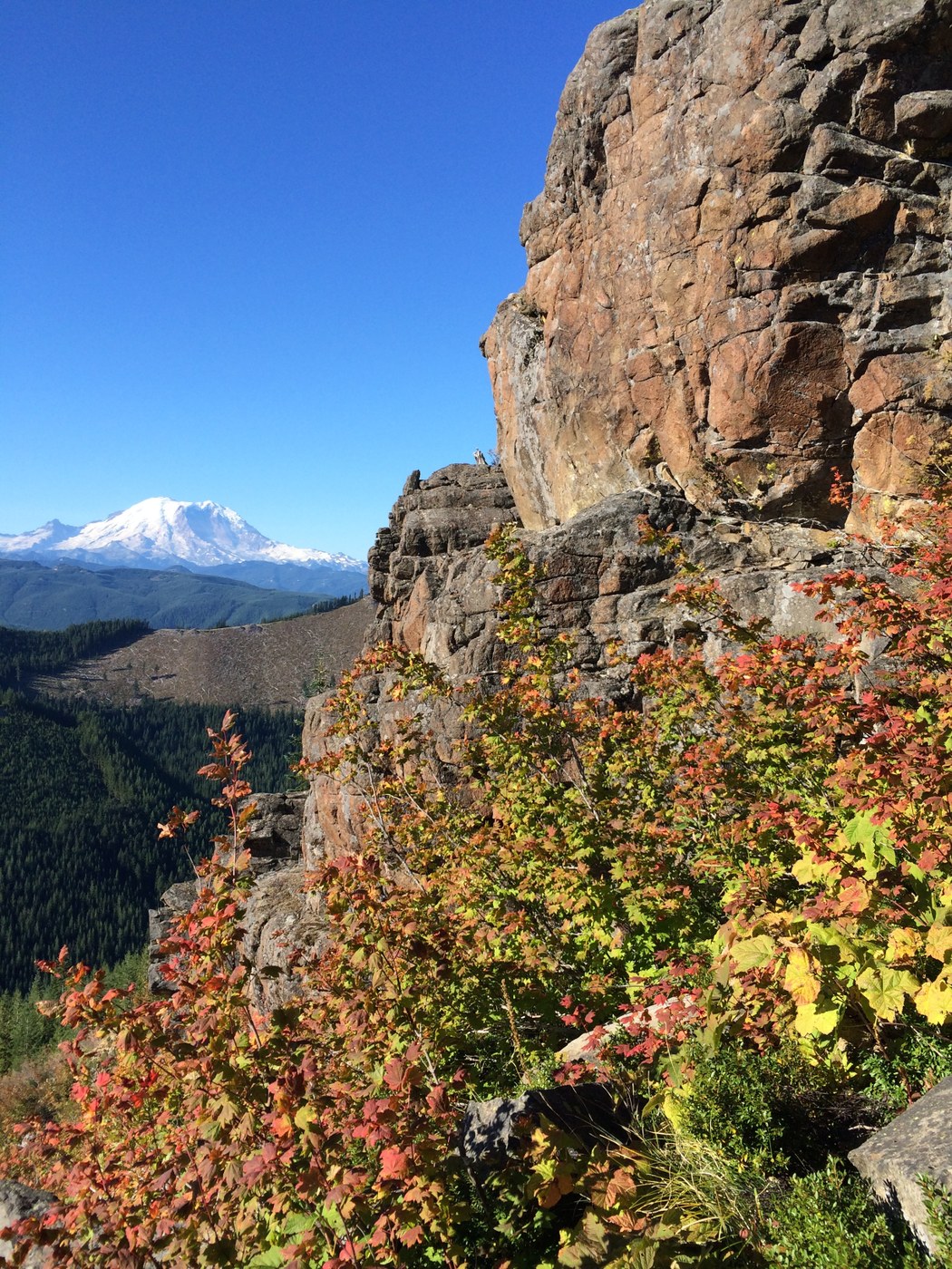
Once you make it up past the exposed parts, the trail keeps climbing, though it seems easier since you are walking through more shady areas with lots of huckleberries. The leaves are changing and are just beautiful. It isn't too far to the lookout. Great views and a cool, restored fire lookout. Great job, volunteers!
We encountered quite a few other hikers, including two big groups who camped at the top last night. There were a number of others heading up as we were descending. Lots of kids on the trail, but be forewarned - the climb is steep, exposed, and windy in sections. If your kids are apprehensive or inexperienced hikers, this one might not be for them. Our 5 year old was nervous the entire way up, but was fine the whole way down. But she does a lot of hiking.
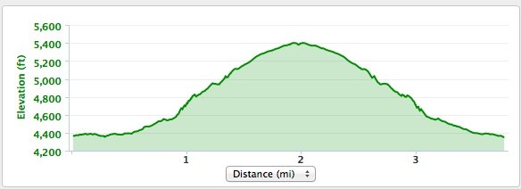
My GPS watch put this at 3.29 miles round trip and 1097 feet of elevation gain - pretty darn close to the trip guide.
This hike is a hidden gem. Not too long that you can't do other things afterward, but not too short that you feel like you didn't get in a good workout. And the autumn colors are just starting to pop, so this one will be amazing in a few weeks.


Comments
Freudian slip...
Error in trip report. It should have read: A word to acrophobics: there are some places that will make you panic and make you want to turn AROUND (not up)...:)
Posted by:
alexapolis on Sep 13, 2014 08:32 PM