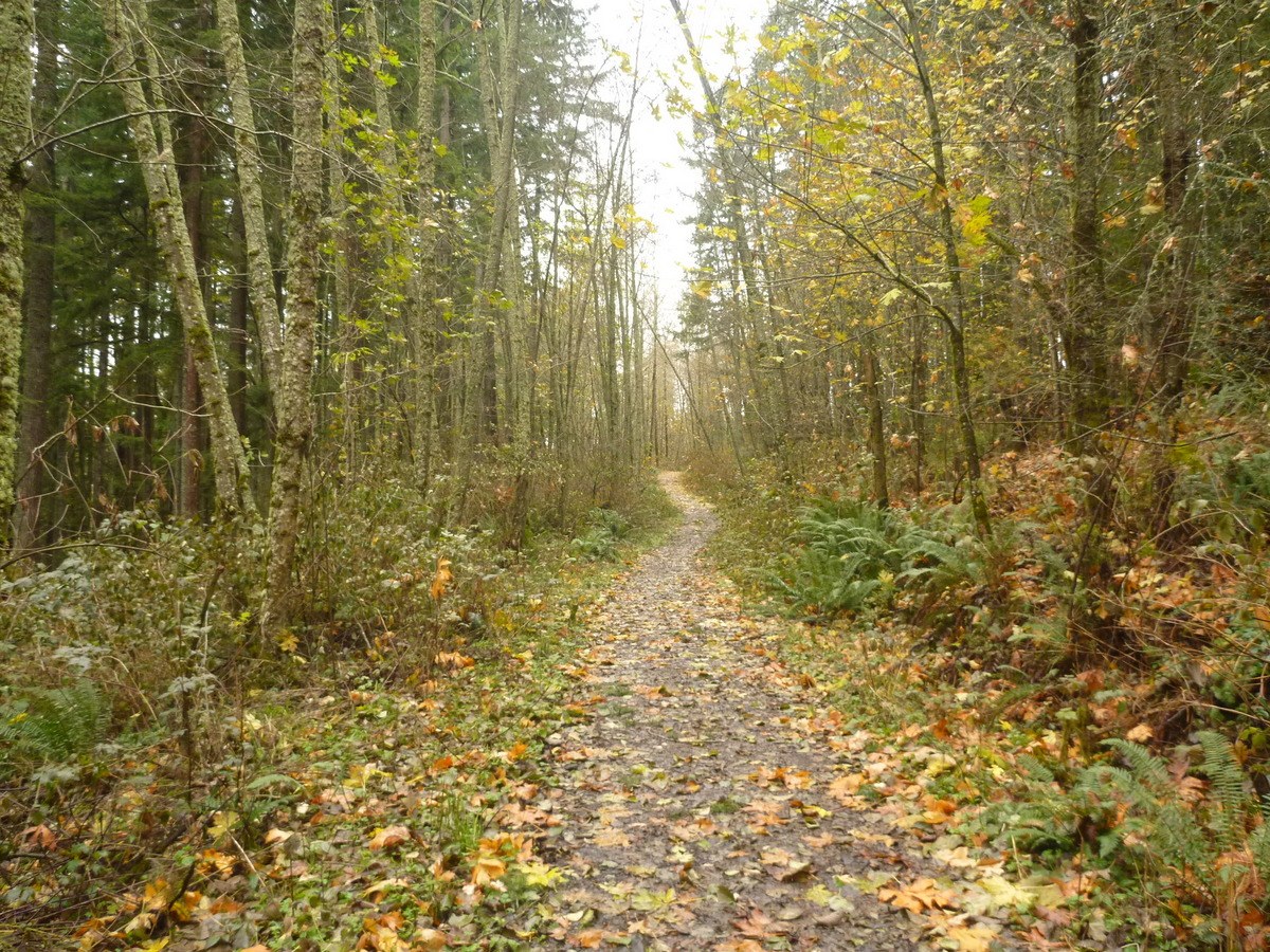
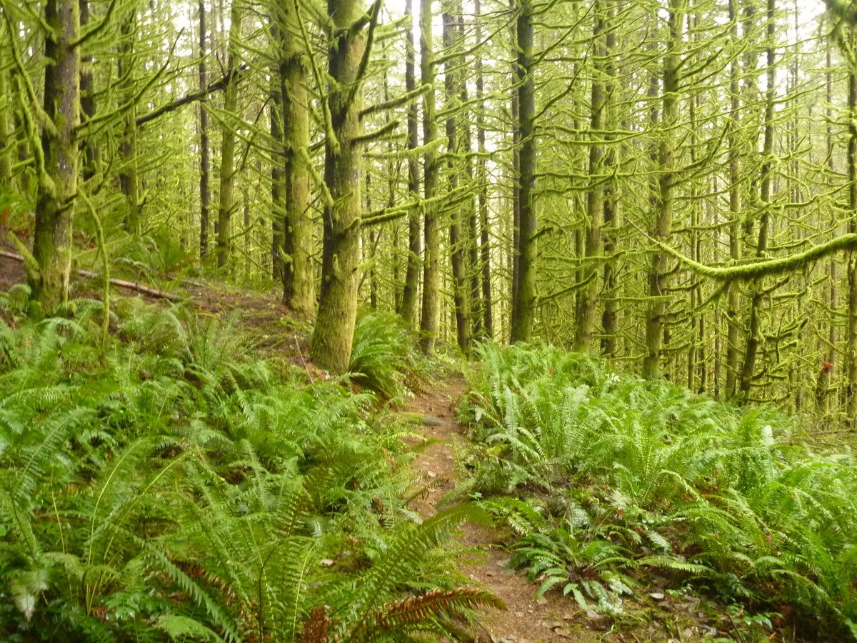
Reached the trailhead around noon. Followed the West View Trail to the viewpoint (which doesn't really have much of a view). Headed back to the Main Trail, and used the Lower Wishbone Trail to connect to the Pipeline Cutoff Trail. Short side trip up to a proper viewpoint at 630'. Then followed the Temple Loop Trail, the Red Barn Trail, and finally the Beaver Lake Trail past the beaver pond (didn't see any evidence of beavers). The trails were all well-maintained, just a bit muddy in a few spots. Just a couple of people on the trails, some on horseback, some with dogs (mostly off-leash...). The official trail map at http://snohomishcountywa.gov/DocumentCenter/View/9711 only had the major trails; the Northwest Topos map (0.26) on the other hand appeared to be complete.
Trip Report
Lord Hill Regional Park — Saturday, Nov. 22, 2014
 Puget Sound and Islands > Seattle-Tacoma Area


Comments