Trip Report
Cutthroat Lakes via Walt Bailey Trail — Monday, Dec. 15, 2014
 North Cascades > Mountain Loop Highway

The trailhead for the Walt Bailey trail to Cut-Throat Lakes and Bald Mountain is pretty easy to find. Take the Mountain Loop Hwy out of Granite Falls and turn right immediately before crossing the Red Bridge (FR 4030). Travel on the paved road about a mile or so and come to a signed junction and turn right onto FR 4032. Follow it for about 6 miles to the very end and park. Look for the rough trail at the end of the road.
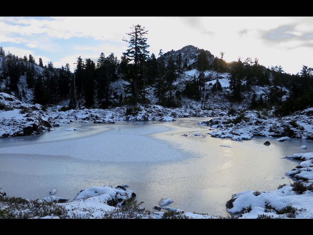
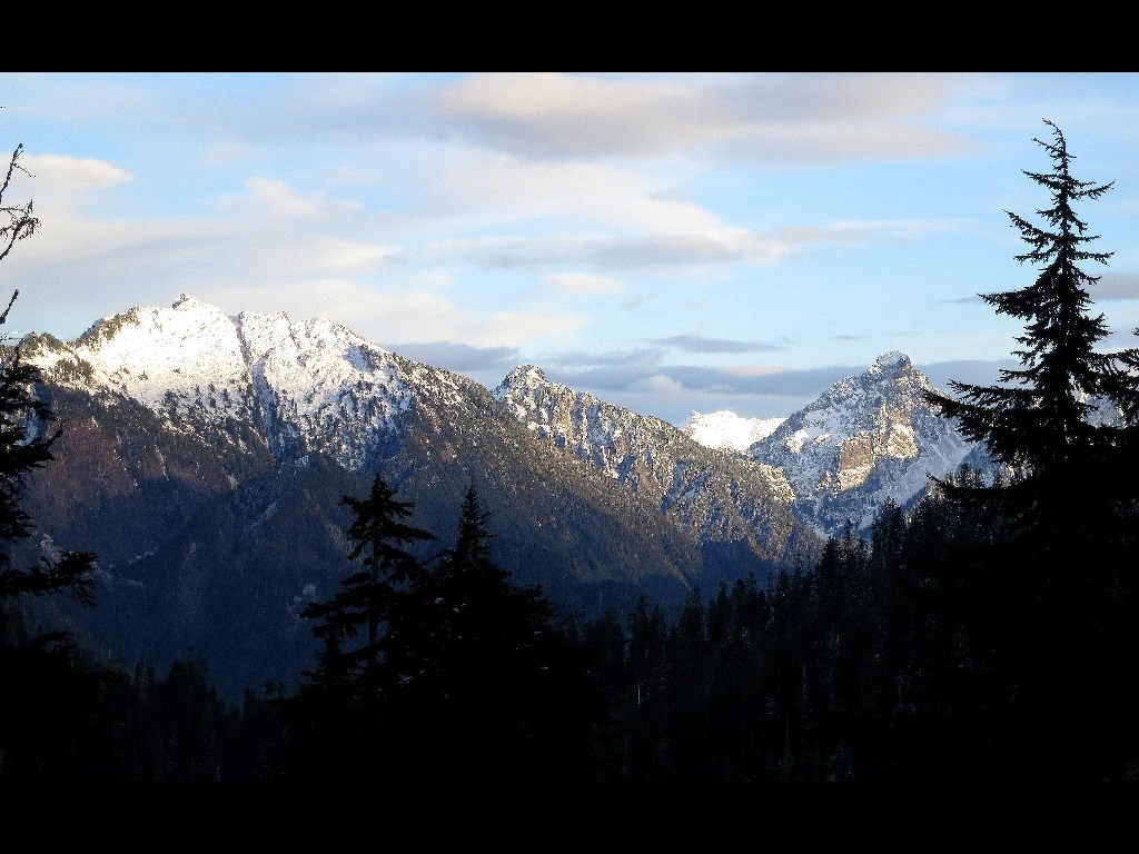
This trail is not an easy trail as it has several gains and losses of several hundred feet along the way. Add to that a lot of roots, rocks, huge step-ups (and down), and lots of water and you've got the makings of a workout. We also found our Green Trails map had wrong elevation and mileage listings for Cut-Throat Lakes. Green Trails placed the lakes at 2.8 miles in and at 3600' elevation. This is about where the meadows are, not the lakes. The lakes are about 3.8-4.0 miles in from the trailhead and sit in the bench on the first ridge at about 4200 feet elevation. In addition we found so many tarns along the way that it can be confusing as to where Cut-Throat lakes actually are. At 4400' after climbing up the ridge out of the meadows we found some very lovely frozen "lakes" with a view of Bald Mountain on the next (actually 2) ridges over. We thought, "This is Cut-Throat Lakes"? Seemed to small. But we were already at 3.75 miles and 4400 feet in elevation. So we ate lunch and debated about the next step. After eating and resting a bit we decided to explore and finally found a route going past our lunch spot and around a small knoll. At this point we spotted a half-dozen or more frozen tarns and the trail continued and in a 50 years a large lake came into view about 200' below us. We took the trail down and sure enough the two large Cut-Throat Lakes appeared. The trail cut across between the two and we found a higher trail on the West side of the upper lake that seemed to be headed toward the saddle of the ridge where Bald Mountain loomed.
It was getting late, but we decided to see if we could follow the route up toward the saddle and find the "Bald Mountain Trail" junction near the top of the ridge. There were no footprints and the snow was about 6 inches deep. The trail after the "true" Cut-Throat lakes is actually some of the best trail of the whole route. Steady climb, but not rocky and icy or rooty. We climbed higher and higher until about 4900' which was above what Green Trails map indicated where the intersection should be. At that point we were now above the saddle and a little East. We took a little off trail trek to toward the saddle and could clearly see a trail across the saddle and midway up Bald Mountain. Determined (stubborn) to find the real trail, we descended the trail about 50 yards and found the intersection with our trail. It was a backwards switchback from going up and was easy to miss covered with snow.
At that point we knew we would be hiking out after dark for at least an hour after sunset and decided against going the fairly easy 1/2 miles to trail at the base of Bald Mountain. It was so tempting, but time was not on our side and we made the decision to be satisfied with finding the lakes and attaining the ridge trail.
It took us 5 hours from the car to reach the ridge trail above the lakes including about 1/2 an hour eating lunch and looking for the trail at the tarns we thought were Cut-Throat Lakes. Travel down to the Lakes from the ridge was quick and easy (40 minutes or so), but from tarns down the rocky, rooty, icy, wet, slippery trail was another 3 1/2 hours. Couple of slips on ice going down, even with micro-spikes. Slow picking out footing and careful stepping were needed. Also the last hour after sunset using headlamps was not fun given the roots, rocks, and water on the trail. We ended up clocking just under 9 miles r/t from the car to the Bald Mountain ridge trail.
The trail up to the top of the bench where the tarns starts is easy to follow. Couple of talus crossings marked with cairns (thank-goodness) to navigate. Ice is tricky on the rocks. Above the tarns and beyond Cut-Throat the trail is easy one you FIND the right trail toward the saddle. There are lots of side trails around the upper lake. If the snow cover was much deeper it would be even harder to find the trail unless someone has punched in the route ahead of you.
We didn't see a single person all day, so seclusion is the biggest plus of this hike. But be prepared for it to take quite awhile to make it up and back. Days are so short right now so bring a headlamp and fresh batteries...you probably will need them if you're going to Bald.


Comments