Trip Report
East Fork Foss - Necklace Valley — Saturday, Jun. 6, 2015
 Central Cascades > Stevens Pass - West

The first ~5-1/4 miles of the trail are pretty easy going and only gain about 600′ of elevation. The highlights of the first half of this hike were Dave’s alter-ego, We cruised through this portion in about two hours – but not without obstacles. The trail was very overgrown in places, and we even had to fight our way through stinging nettles. Kind of started feeling like we were in the Hunger Games, but we made it to the river crossing for lunch and were able to rinse off. We highly recommend pants for this portion regardless of how hot it might be.
Now that the “easy” part was over, we began the final 3 miles which climb 2400′ to Jade Lake. We had a bit of a hard time finding the trail just after the river crossing. Just past the river crossing you’ll see a firepit with a few campsites. At this point you want to be looking for a log that crosses a creek. From that log, you’ll follow cairns through up through a boulder field. We began climbing out of the shade at this point. Although the views were nice, it was hot! We caught our first glimpse of Mount Hinman during this part of the hike. After climbing for a LONG time, you will cross a nice bridge over a cascading creek. There is still about a mile of rugged hiking to go after this point. We were all pretty drained before we made it to Jade Lake. It took us over three hours to cover those last three miles and we are all fairly strong hikers.
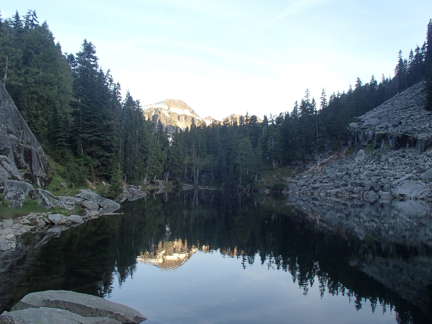
ade Lake is a pristine alpine lake that we could see far down into since it was so clear. Adding to the dramatic effect was Mount Hinman towering over the valley to the South. We found a spectacular campsite at the opposite end of the lake and decided we had enough at that point and that’s where we would stay. The site was right next to the trail, perfectly level, and had logs placed around it making nice seats.
Feeling renewed by the gorgeous setting, we dropped our packs, and decided to head up the trail a little to see what lay ahead. Apparently we weren’t on the main trail and headed up towards Emerald Lake. We talked to a couple camped on the other side who said they walked around for a while and didn’t find many camps at the other lakes which reinforced our decision to camp where we did. Emerald Lake was swampy and didn’t seem nearly as nice as Jade so we decided to head back and set up camp and enjoy Jade Lake. While we were setting up camp and beginning to relax only two groups of two and a solo hiker/skier passed by. The skier was headed up to La Bohn gap and one of the groups was headed to Tank Lakes. Once we got camp set up and our beers had cooled we headed over to some nice rocks on the lakeshore to take a dip. We had the whole lake to ourselves!
Although the water seemed like a nice temp to the touch, it was actually as cold as alpine lakes usually are. Even though it was light out til late, the sun set behind a ridge a little after six and we were glad we had got our swim in. Once we made it back to camp, the mosquitoes had come out in full force. We all bundles up in our hooded jackets and pants, but I still managed to get 50+ bites throughout the trip (I’m not exaggerating).
Slept with no rain-fly and the stars finally became visible around 10:30. We could see the big dipper fairly clearly and we even all saw an incredible shooting star at the same time! – definitely one of the highlights of the trip!
We got started on the hike out around 9 am. The mosquitoes never really went away the whole time we were at camp. The rugged three miles down still took us a while and we got to the river crossing around 11:30. We panted up there to prepare ourselves for the stinging nettles.
We made it through the nettles without a problem, although we could see them all over our pants. We were pretty beat the rest of the hike out and eventually made it to the car at 2 pm. We passed a National Forest Ranger on the way out who highly recommended heading further up to the Tank Lakes basin next time we come out this way. We hope to take this advice in the future, but we will certainly stay for longer than one night if we make the long slog up this valley again.
This is definitely a difficult hike, but as a result you will get away from the crowds and have a true wilderness experience.


Comments
Wheres' the map?
Where's the map of the trail?
Posted by:
moonbilly on Jun 18, 2015 08:08 PM