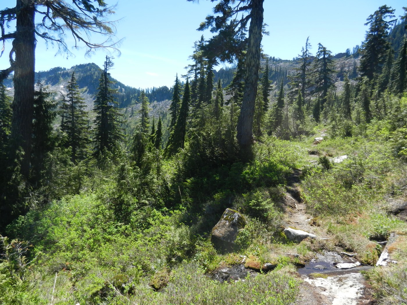
I first read about this trail way back in 1971 in the book, "102 HIKES in the Alpine Lakes, South Cascades and Olympics" by Spring and Manning. Today I finally got around to hiking it 44 years later. Drove the North Fork Snoq. County Road out of North Bend, then FS Road 57 to the trailhead which is 0.3 miles past the Bare Mtn. trailhead. The hike is longer since the Forest Service closed Road 57 at the Bear Creek bridge back in 1999. There is parking for a few cars, no trailhead sign or restroom, so no Forest Pass needed. I crossed the old bridge and headed up road that is now a trail for about 2 miles. Along the way I crossed two more bridges, the third goes over Lennox Creek, the only time the trail is near the creek. At the end of the old FS road I hiked on an old mining road that has water running down it. In short order this mining road goes steeply uphill through the forest, then though an area of Bracken Ferns, then back into the forest where the mining road ends, and turns into the trail up the side of Dog Mtn. and enters the Alpine Lakes Wilderness. There were three mines in this area, the Penney Prospect, Pine Marten Prospect and Devil's Canyon Claims. The trail then switchbacks up the north side of Dog Mtn. to about 4,400' elevation and contours along the side of the mountain heading for Anderson Pass. This trail has many facets, steep in places, flat in others, rocky areas, nice dirt tread, several stream crossings, some muddy areas, and a few fallen trees to get over and one large one to go under. You can hike the old FS Road 57 part of the trail at a good pace.
Once I got up the last switchback, I hiked the trail south east out to where I got some views of the local peaks with no names. I was about one mile from Anderson Pass where the trail drops 400' down to Anderson Lake and decided to have lunch. After lunch I headed back down the trail in the shade as the trail going out to the pass was in the open and it was getting hot with the temp at 80F. I stopped at one of the small creeks to cool off and poured some water on my head. After getting back down to the old mining road, not to far from the end of old FS Road 57 where there is water running down over the rocks, I slipped when I stepped on a large flat rock that was slippery as ice. Luckily I caught myself so did not fall. Glad I had my trekking poles. No bugs on this hike. Did hear lots of birds, but saw only one humming bird way up on the side of Dog Mtn. Some of the flowers are coming out in the heather. Did not meet any other hikers on this trip. Even after 62 years of hiking (I started at age 4), it is still fun to checking out a "new" trail to me.
I would not recommend this hike for the casual hiker as the trail up the side of Dog Mtn. is a tough one. Wear hiking boots and bring trekking poles, you will be glad you did. This trail will give you access to some scramble climbs in the area like Dog Mtn., Morpheus Peak and some unnamed peaks.
This trail is no longer shown in the recent guide books, but was in the "100 Hikes, Washington's Alpine Lakes". To find the trailhead use the directions for "Bare Mtn." and go another 0.3 miles on FS Road 57.
So if you are tired of the over crowded trails along I-90 from Issaquah to Snoq. Pass check out some of the other trails like Lennox Creek, one of the forgotten trails of the Alpine Lakes Wilderness. George


Comments