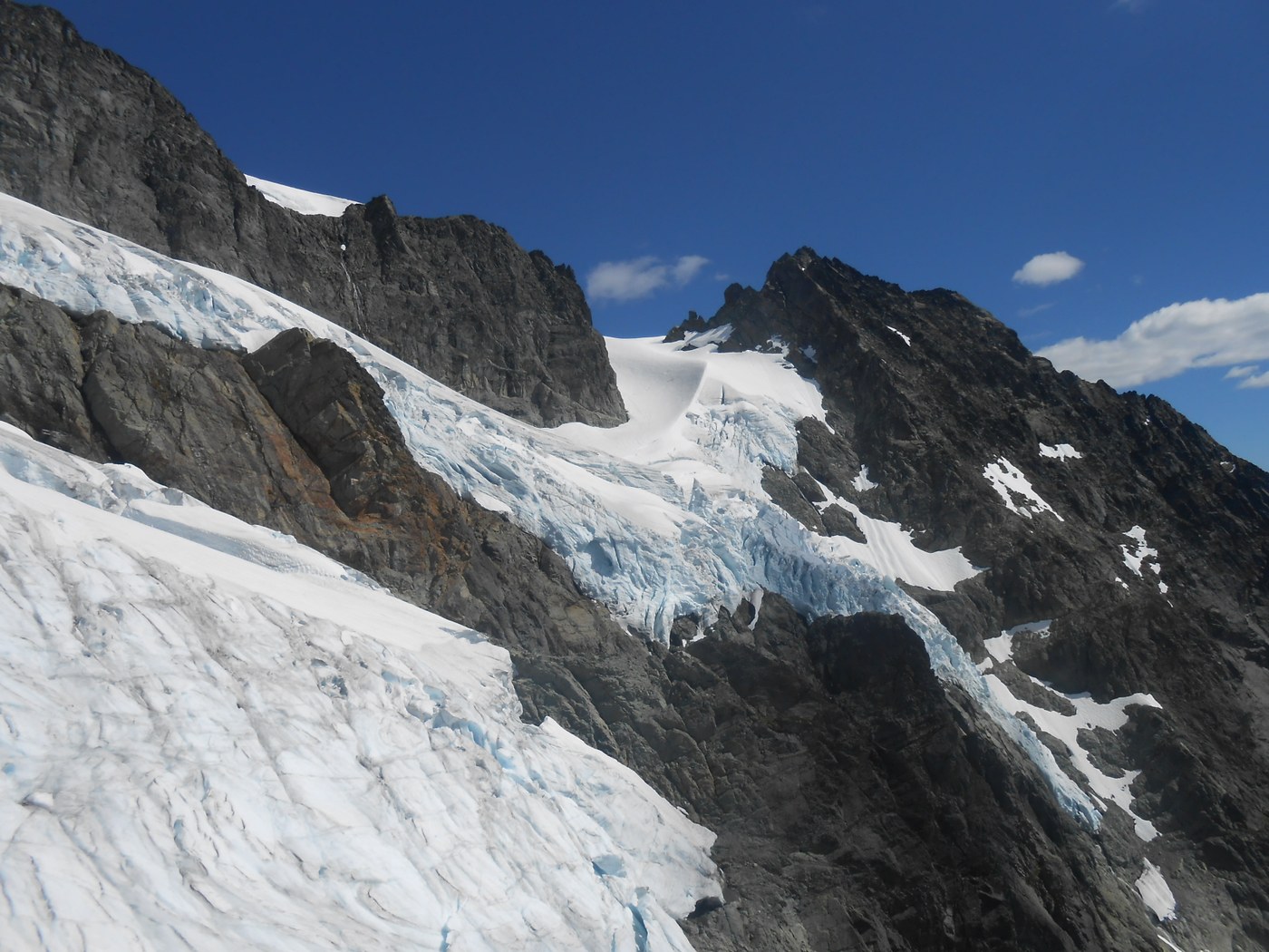
If you were living in Washington, not showing any particular interest in mountaineering you'd sooner or later find out about Mount Rainier, Baker, St. Helens an maybe even Mount Si - unless you lived under a rock in downtown Seattle - but Mount Shuksan would probably not come up in casual conversations. And so it was that until a few years ago I didn't even know Mount Shuksan existed. When I started scrambling in earnest and became familiar with the geography, the mountains and rocks of this state, Mount Shuksan's image started crystalizing in my mind as this mythical rock and ice place, a restless pile of giant crags tucked away and hidden behind Mount Baker, jagged and beautiful, buried under and carved by layers of glaciers on all sides. Then someone mentioned - "Fisher Chimneys, that's a hard route" - and I had to find out.
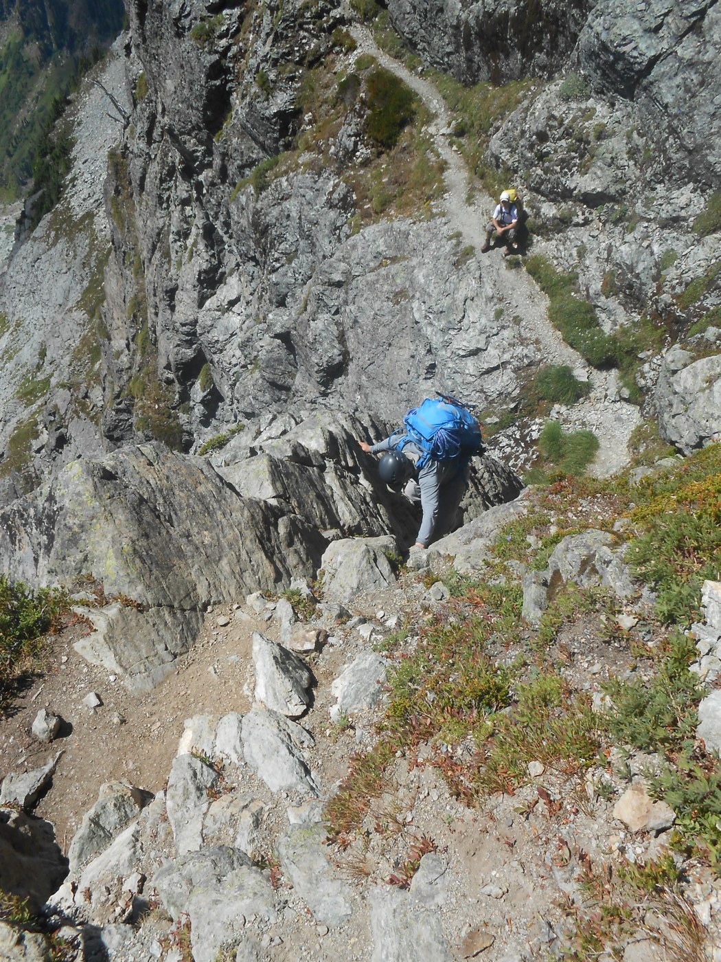
The Mountaineers team I joined for this trip started the hike shortly before 10AM Saturday morning at the Lake Ann trailhead. We zoomed over the 4 miles to the lake in no more than one and a half hours (thanks to one very strong leader who set the fast pace and made the rest of us sweat profusely), then found our way to the chimneys. These steep gullies on the south side of the mountain scar the rock wall west of the Lower Curtis glacier making up an amazing scrambling opportunity: good rock, solid holds, many friction steps, impressive exposure, and more importantly, there is a lot of it - you scramble on and on, gully after gully until you reach the top, where the Forest Service rangers might wait for you to check if you have an overnight permit - they were present and on duty that day.
From the top of the chimneys, following the standard route along the edge of the White Salmon glacier, we went up Winnies Slide to reach a spur ridge that marks the edge of the Upper Curtis glacier where we set up camp on rock. We were lucky we got there early, by around 2:30PM; a few parties arrived later and had no place left for tents so they decided to press on and camp higher on the Sulphide glacier. Two of our leaders went to scout the route on the wall of ice above the camp while the rest of us sat around and relaxed. There was plenty of water nearby.
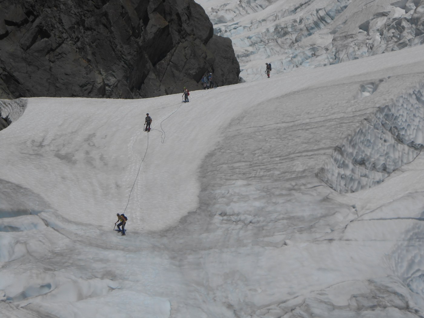
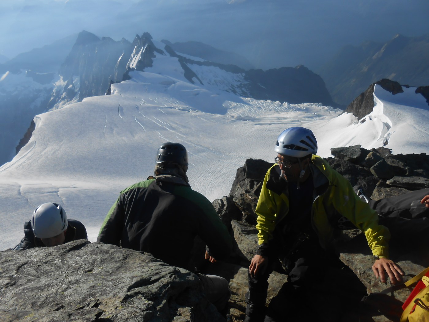
On summit day we woke up at 3AM after a great sleep (apparently I missed a beautiful sunset, but my eyes couldn't stay open after 7PM), started climbing up the wall of ice at 4, crossed the Upper Curtis glacier and reached Hell's Highway by 5 and eventually arrived at the summit rock pyramid by 6AM. We spent the next hour scrambling to the summit. Just like the chimneys, the summit block is also an amazing, challenging scramble. A few weeks earlier another party of Mountaineers scrambled to the summit in crampons as the gullies were still partially filled with snow, but crampons weren't necessary today as most of the snow was gone. We must have strayed a bit off the scrambling route at one point and reached some class 5 moves where we decided to traverse back to the regular route rather than follow the harder one and having to put in some pro and set up belays. We crossed paths with a few parties who were downclimbing and rappelling, including a large Mountaineers group that had come up the Sulphide glacier route. We touched the summit shortly after 7AM and caught some great morning light that would make even the unsophisticated pictures taken with my obsolete point-and-shoot camera look good.
Forty-five minutes later we started the long way down. We rappelled some parts of the summit gully and downclimbed others; at Hell's highway we used pickets for additional safety, and on the steep wall of ice above our camp site we just took our time an treaded carefully. We mostly downclimbed the chimneys rappelling one single tougher section with a dihedral. Finally after a long slog on the Lake Ann trail, we got back to the cars at 4:35PM. Another successful climb!
Current conditions: It was very warm and the snow was soft even at 4AM. There is a steep wall of ice above the spur ridge where we camped, on the way to the top of the Upper Curtis glacier, and it doesn't feel very secure; some areas rang hollow, I'm sure there's a stream running under. There didn't seem to be any scrambling route around it.
In the middle of the Upper Curtis glacier there's a large crevasse that splits the glacier from top to bottom, pointing in the direction of the ice fall. There is one last snowbridge over the lower end of this crevasse. If the crevasse advances another twenty or thirty feet, crossing would become very steep and dangerous and the route might be off limits for the rest of the season. On the Sulphide glacier navigation was not a problem.
There was only one small snow patch left to traverse in the lower summit pyramid gully, but it's quite a steep one - it can be avoided on the way up by scrambling around, but you'd end up into a more difficult area, just like we did. On the way down a rappel brings your right to the top of the snow patch.
Climb on!


Comments
Great stuff.
We're Rainier fanatics. But we've also come to view Shuksan as a particularly beautiful mountain. Thanks for the gorgeous photos and narrative - glad you all had a successful venture.
Posted by:
Alien Dave on Jul 22, 2015 12:08 PM