Trip Report
Killen Creek to High Camp, Mount Adams Highline — Tuesday, Jul. 28, 2015
 South Cascades > Mount Adams Area

I don't write many trail reports but since the Mt Adams Wilderness is a long way from the Puget Sound area where most report writers live, and since there are few reports, I will write a report for this hike. The take home message is that there may be little or no water near High Camp at some point this summer and that there are very few bugs. The trails are well marked.
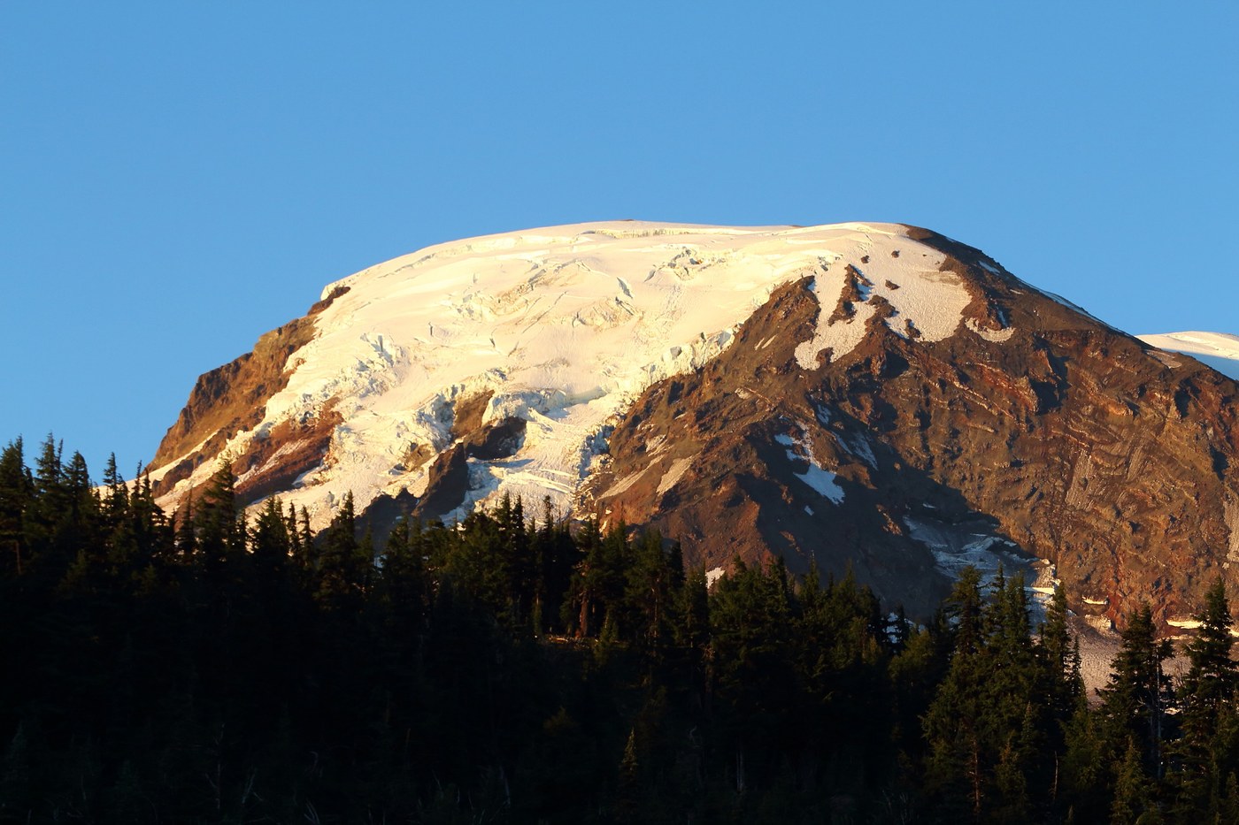
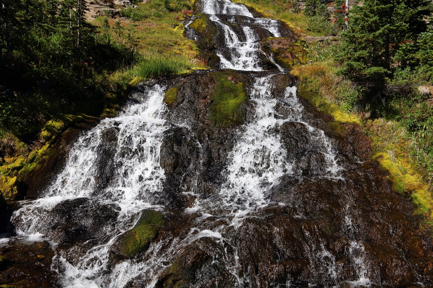
Blue sky and warm weather greeted me as I started hiking Killen Trail Tuesday at 9 am. The trail, is in good shape but not perfect, climbs steadily to Adams Cr Meadows for about 2.5 miles to the first water source, and reaches the PCT a short mile beyond Adams Cr Meadows. The wildflowers are gone and Adams Creek is very low but there are nice camps near the meadow. There may be no water by mid-August if not sooner. The 1 mile route (Trail #14) from the PCT to Highline Camp is much steeper, marked by huge cairns through the rocks, and ends in beautiful meadows at the base of Mount Adams. When I arrived I thought there was no water, and there proved to be very little until late afternoon after the warm sun increased melting of the lone patch of snow. Although there is a single large patch of snow at High Camp water may be scarce to gone before the end of summer. I had to walk to the base of the snow to fill my water bottle when I arrived at noon. By late afternoon the flow increased. The flowers are mostly gone in the wide open meadows, but there is an abundance of blooming dirty socks aka alpine buckwheat in the gravel and rocks. I camped high where there were nice views of Adams, Rainier, and St. Helens while standing in one spot. Late evening light was fabulous although there were not enough clouds to create a great sunset. Wednesday I hiked down to the PCT, took a right (northbound), stopped for water at Killen Creek Meadows where Killen Creek forms a nice waterfall, and there is an abundance of camps, then took Highline trail #14 to Foggy Flat where I spent the night. After setting up camp I hiked off trail up to the base of Mt. Adams and to the headwaters of South Fork Killen Creek. Although views are better from High Camp, Mt Rainier and the Goat Rocks, as will as most of Mt Adams are visible from Foggy Flat. The before mentioned creek is a great water source.
The trails are all in good condition, many of the small ponds that show on USGS map are dry, the only water sources are those that I have mentioned, the views are great, there were few people on the trails when I was there, and there are virtually no bugs. These trails get horse traffic and are dusty. I met three men on horses heading down the Highline Trail near the intersection with PCT. I asked them if there was water along the trail. They said it was a long ways then seemingly an afterthought as they road off in the dust one of them said there was water a Foggy Flat. That was at about 11 am. I commented that Foggy Flat was not a long way, but didn’t get a response. An hour latter I got to Foggy Flat where there was plenty of water and several nice camps hidden away off the trail. Birds were abundant at Foggy Flat, particularly pine siskins, dark-eyed juncos, chipping sparrows, and mountain chickadees. A few noisy Clark’s nutcrackers were almost constantly within earshot and there were at least 3 species of warblers.
More photos at flickr when I have a chance to upload them: https://www.flickr.com/photos/jlcummins_photography/ I am way behind in uploading photos so it may be a week are more before they show up.


Comments