Trip Report
East Fork Foss - Necklace Valley, Tank Lakes — Saturday, Aug. 22, 2015
 Central Cascades > Stevens Pass - West

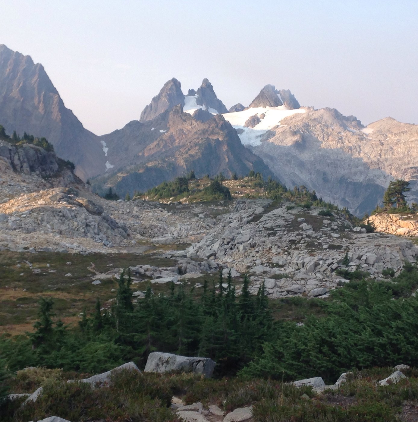
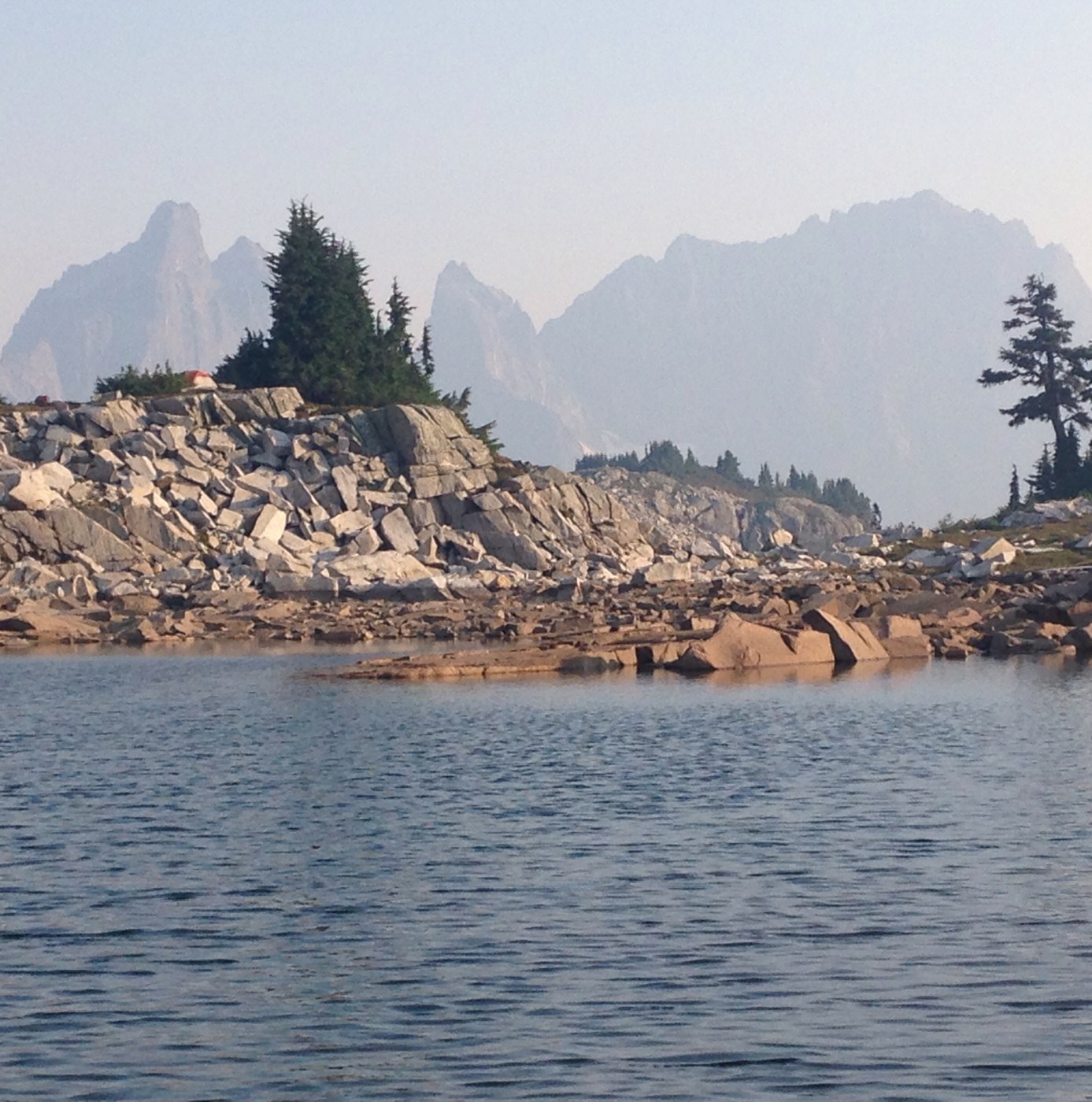
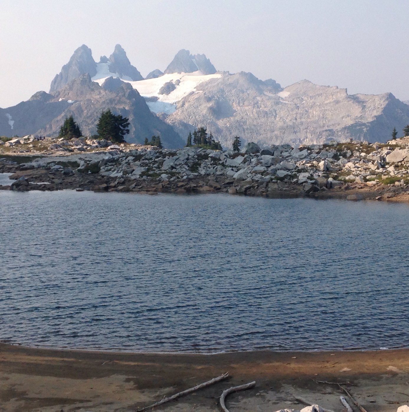
The Tank Lakes basin feels like it's perched on the edge of the world. The route to reach it via the Necklace Valley probably represents my hardest-earned miles of Hike-a-Thon.
What a unique time to visit this special place.
The valley is normally dripping with water everywhere in waterfalls, lakes, streams, meadows and the beautiful East Fork Foss River. By the look of it, the trail itself carries more than its share of water much of the time. It's striking to see so much cracked soil where small lakes and ponds would normally be. And it makes all the water you do see that much more precious. (There was adequate water along the way for filtering purposes though you will likely need to draw from one of the lakes since most of the upper streams have dried up).
We could smell smoke faintly on the first day and the surrounding peaks were in a haze due to the smoke. We woke up to much clearer skies after a windy night; the air quality got worse again as we headed down valley back to the trailhead.
We were one of six small groups camped in the Tank Lakes area that night. Maybe more than you might expect (or desire) at the end of the world. There seemed to be room for all of us but it did take some searching to find a level, hardened campsite away from the lakeshore. Most groups were traveling out and back via the Necklace Valley; one group from Portland was on the final night of what must have been a spectacular thru-hike starting from the Salmon la Sac area across the Cascade Crest. Just after dark we were surprised to see a head lamp or lantern high up on a saddle on nearby Iron Cap Mountain. In the morning we pulled out binoculars and thought we could see a tent on the rocks.
Getting up to Tank Lakes and back is a tough but beautiful slog with many sights along the way. The final section is off trail and requires basic route finding skills; cairns mark much of the way (and cairns mark multiple potential routes).
On the way down, we stopped along the river for a much needed rest. I could see how a day hike - or overnight - just to the river and back would make for a wonderful trip in its own right someday.


Comments