

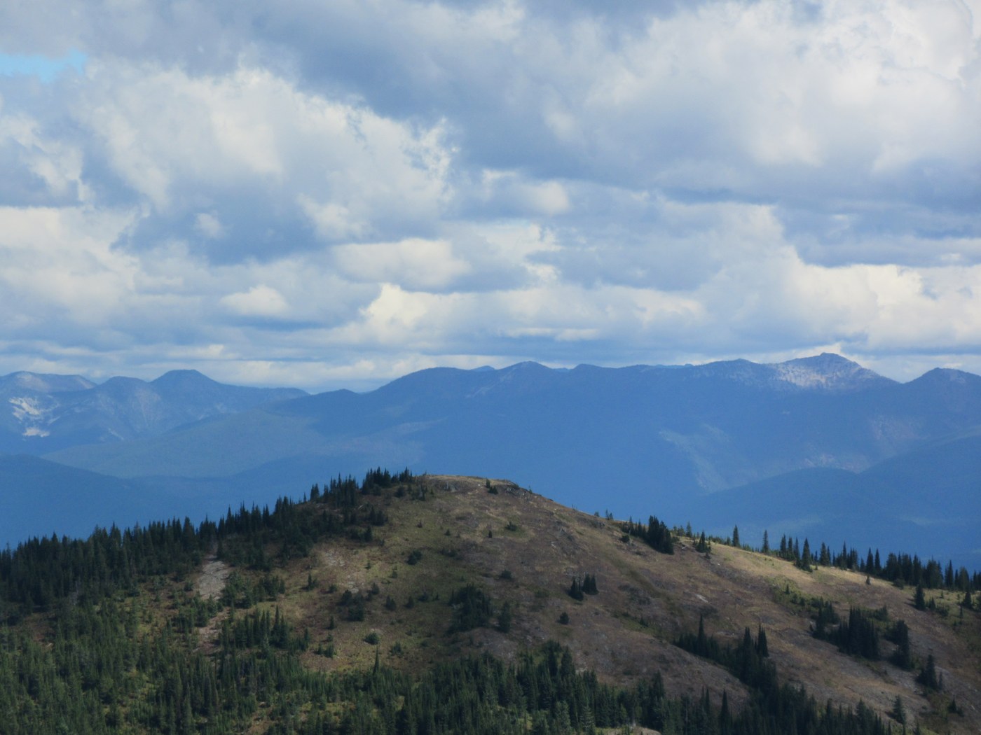
Great smoke free hike. My GPS gave the round trip mileage at just over 7.5 miles with about 2000 ft elevation gain/ loss. The 50 highest Mts. in E. Washington shows the hike to be 4 miles. Since the publication of that book the trail head has been moved 1.5 miles down the old road. The old road is actually the steepest park of the hike with the exception of the last 100 yards. The trail is well built and in great shape. If you hike here you most likely will not see anyone else. A couple of ripe berries and lots of bear sign. You are in Grizzly country so pay attention. The views are incredible on top.
When you reach the ridge before the final assent you will see a brand new train sign at a three way junction pointing to the main trail down the ridge , the small trail to the top and one other trail leading north to gun sight pass. You will not find this trail on any map, but it would only be about a mile to join the silver creek trail. This is one of the most remote and rugged parts of the State.

Comments