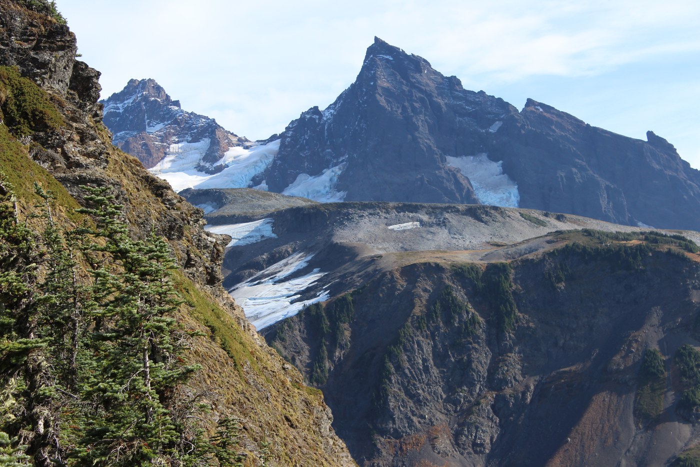
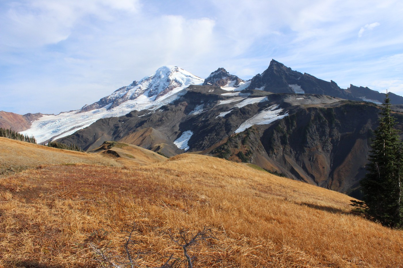
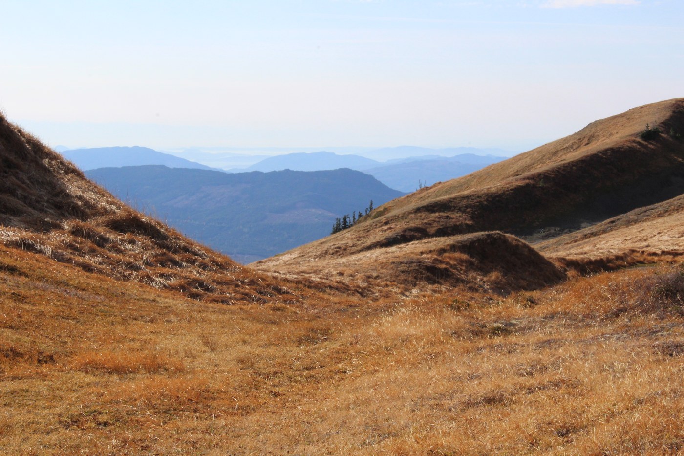
To begin with, this is not a maintained trail you'll find on any map. It is only a way trail that can be hard to follow in places so navigaitional expertise and a GPS is advisable. It begins at the end of an old logging spur road (F.S. Rd. 36). After about half a mile it turns upward getting a little steeper till about 1 mile in it opens up and you can see Grouse Ridge directly in front of you. A short way trail (0.1 miles)to the left will take you to some picture opportunities but don't let it stop you from climbing to the top of the ridge. Instead of taking the short trail to the left, continue straight ahead(be sure to mark this spot so you know where you need to head back into the forested canopy). Meander to the right as you climb (I found this to be the easiest way to the ridge). Once you make it to the ridge, turn left and follow it to the top. The views from the top of the ridge are jawdropping!! To the left is Bastille Ridge, Roosevelt and Coleman Glaciers and Mt. Baker. Directly in front of you will be Marmot Ridge and the majestic peaks of the Black Buttes, so close you feel you can reach out and touch them! A beautiful peaceful place to rest and eat lunch as you soak in all the beauty. Directions: From I-5 take exit 255 and head east on Sunset Drive, also known as Hwy 542 and the Mt. Baker Highway. Continue on this road for 34.5 miles, 0.5 miles past milemarker 34. Turn right onto the Glacier Creek Road, also known as F.S. Rd. 39. Continue straight for 7.75 miles and turn right onto F.S. Rd. 36. At 2.7 miles, 3.0 miles and 3.6 miles you'll meet up with road junctions but stay to the left with every junction and in 4.6 miles you'll come to the end of the road. The unmarked TH will be straight ahead.
Trip Report
Grouse Ridge Trail — Friday, Oct. 16, 2015
Type of Hike
Day hikeTrail Conditions
Obstacles on trail:Trees down across trail,
Overgrown in places.
Road
Road suitable for all vehiclesBugs
No bugsSnow
Snow free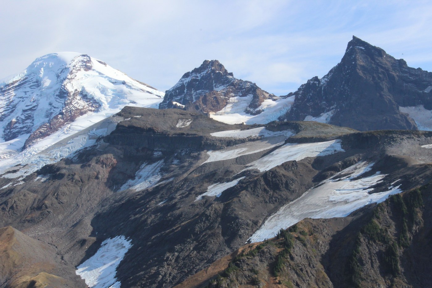
Comments
Beautiful shots! I ran into a fellow hiker 2 weeks ago and he told me about this hike. Did you see anybody else in the trail? How long/far can you hike it. Thanks!
Posted by:
Dalish Ranger on Oct 18, 2015 10:31 AM
I'm searching for a way to get Marmot Ridge, nestled below the Black Buttes in the pictures, if you're interested in pairing up. hikerrandy@fronier.com
Posted by:
hiker for life on Oct 19, 2015 09:29 AM
Hey I've tried emailing you, but it keeps getting sent back to me, saying that it's timed out. If the invitation still stands you can reach me at Lawrencehorry@yahoo.com
Posted by:
Dalish Ranger on Oct 22, 2015 12:48 PM