Trip Report
Rainbow Falls State Park — Saturday, Apr. 16, 2016
 Southwest Washington > Lewis River Region
Type of Hike
Day hikeTrail Conditions
Trail in good conditionRoad
Road suitable for all vehiclesBugs
Bugs were not too badSnow
Snow free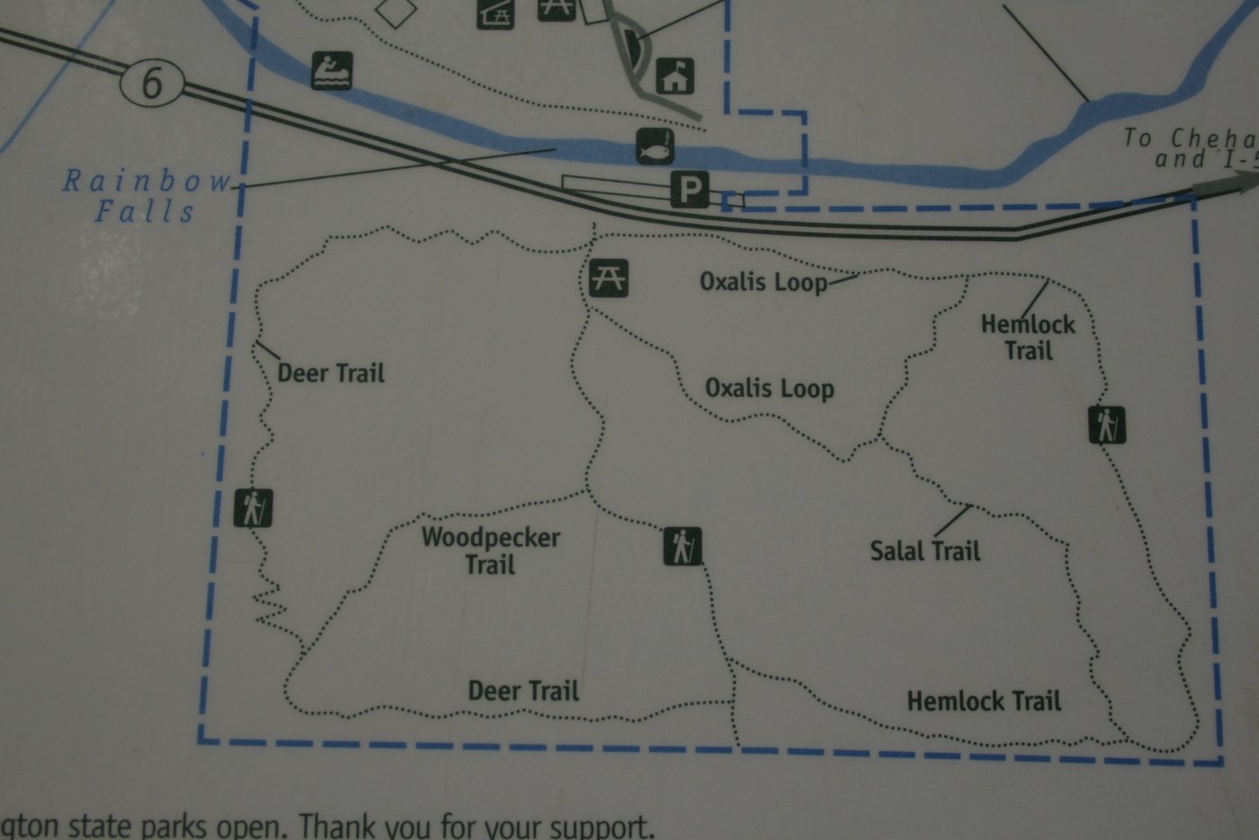
This was a great hike once we were able to figure out where exactly we were supposed to be.
There is parking road side at around the 16 mile point as noted. The parking is on the river side. You can view Rainbow falls from the parking area. The foot bridge to cross over the Chehalis River is no longer there.
So getting from the parking area to the actual Rainbow Falls State Park/Camping Area on foot is not possible, unless you don't mind getting your feet wet. You can drive down to Chandler road and follow the signs to Rainbow Falls State Park.
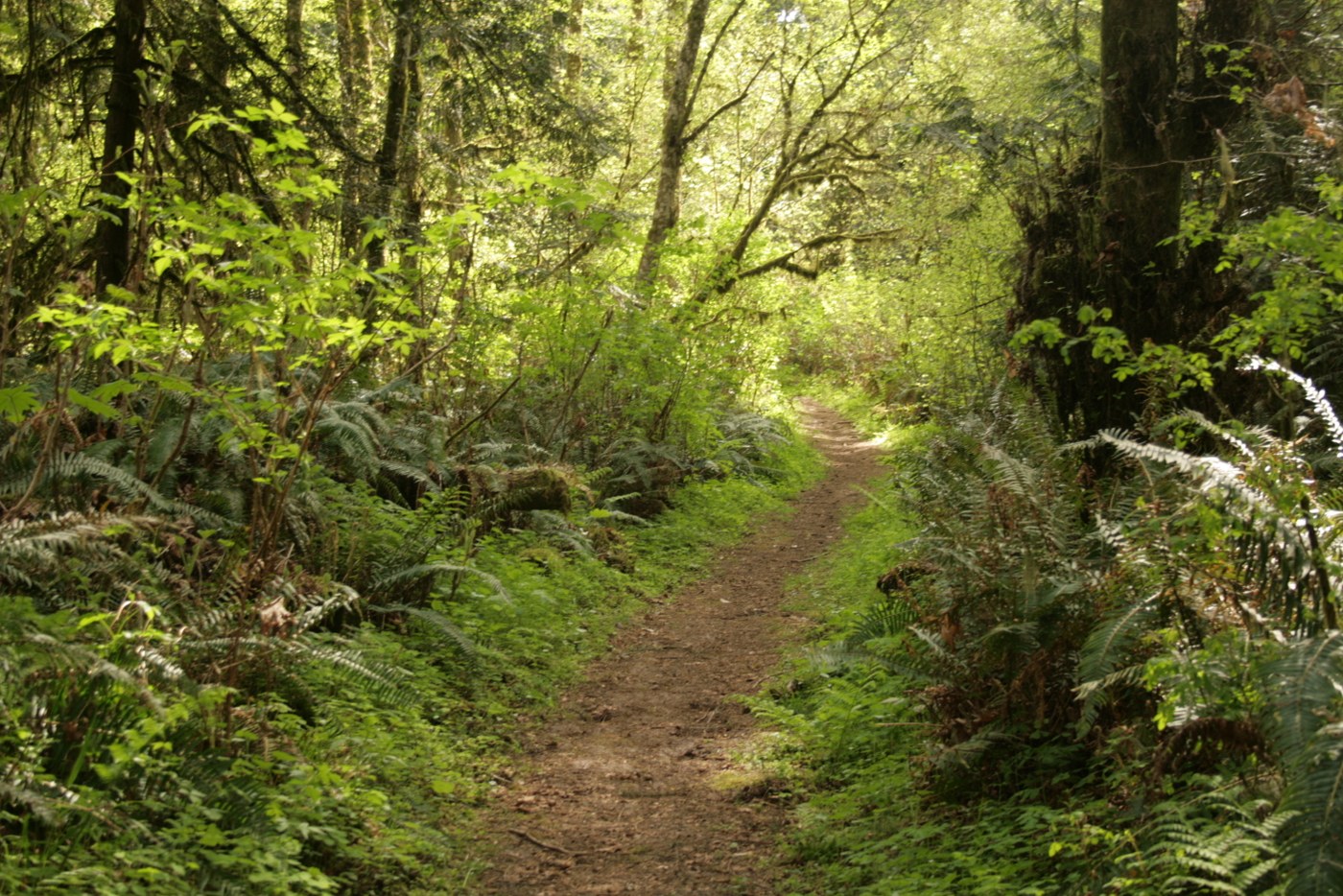
If you came to hike, as we did, then you will remain parked along the highway near Rainbow Falls viewing area. Across the street there is a sign that says "Oxalis Trail." This is what we presumed to be the trail and if not it is what we hiked. There are four different loop options (see photo of trail map area). We ended up hiking all of them in various random orders. It took us about 1 hour. There was a few small trees across some the trails, but nothing that could not be stepped over or passed under. All wooden foot bridges are in great shape.
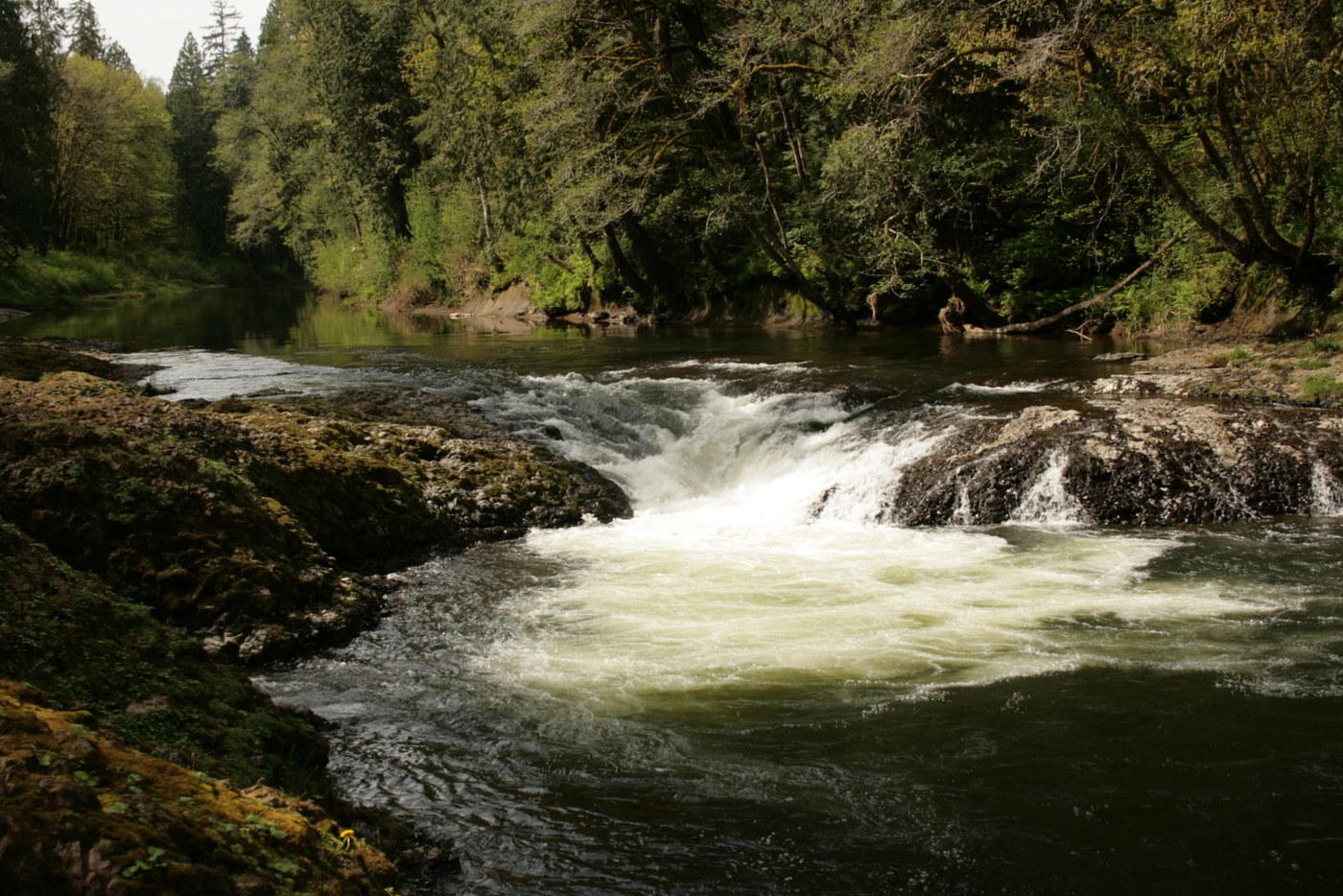
We really enjoyed all the wildflowers blooming, birds singing, and trees to admire. NOTE: if you are looking for spectacular vistas and eye catching falls or other scenery, you may be disappointed. We however enjoy the beauty of nature, so the flowers, trees, and streams were just fine for us.
Hope you enjoy your time at Rainbow Falls and the adjoining trails.
Comments