
I am surprised to find no other trip reports on the entire length of the American Ridge Trail, because it's an awesome hike.
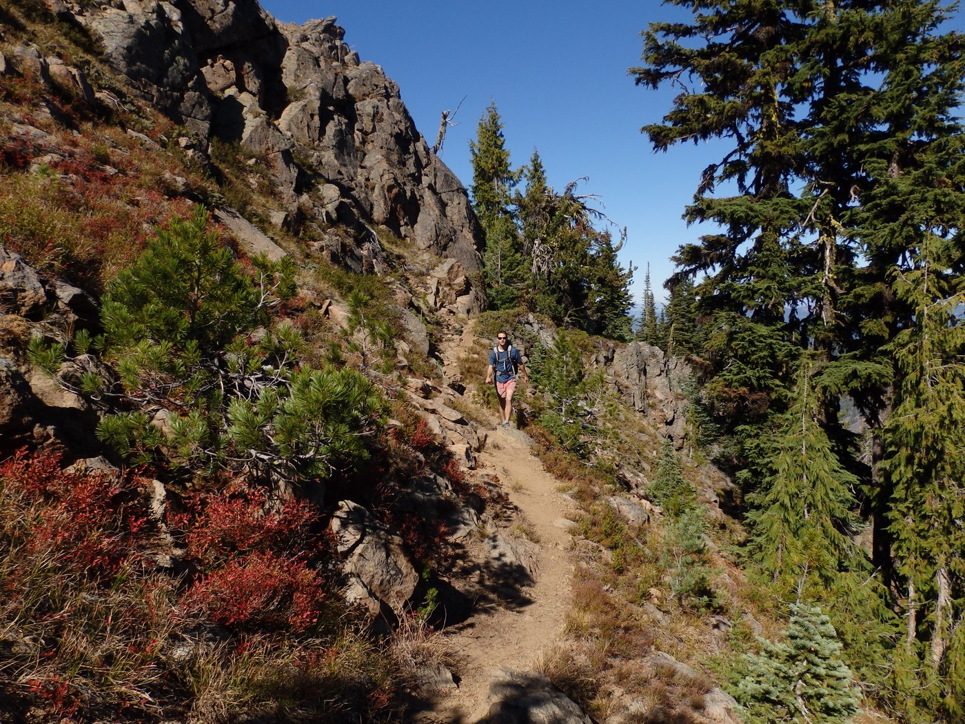
First off, I found the trail to be physically more difficult than I imagined. There are lots of ups and downs, sometimes a bit steep. Add difficult terrain to climbing over fallen logs and times trying to find where the trail is at, and I began to feel exhausted at times.
Second, I never saw another hiker, except when I was near the junction with the Pacific Crest Trail (and this was a blue sky weekend).
A note about water: The green trails map shows the trail, after about 5 miles from the TH, that the trail gets near Fifes Creek, which the map shows as a blue line with some broken dots, suggesting it may be seasonal or dry at times. I was happy to find water in the creek. Actually, when I first heard water I left the trail and tramped over to the creek to fill up. Then 3 minutes down the trail there is a spring on the right with water running under the trail.
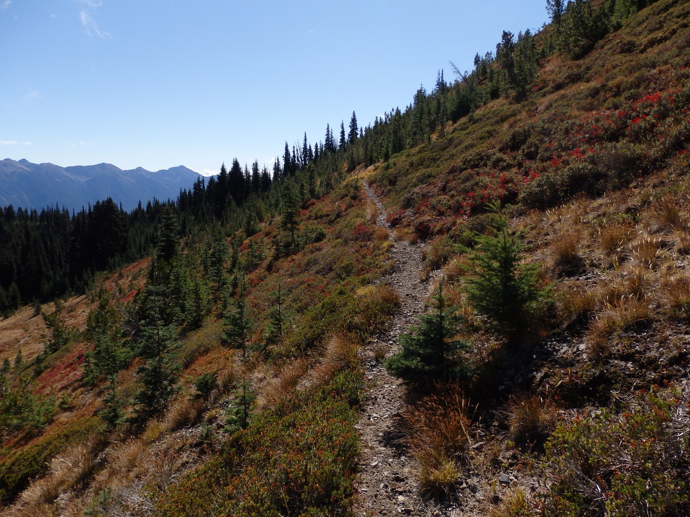
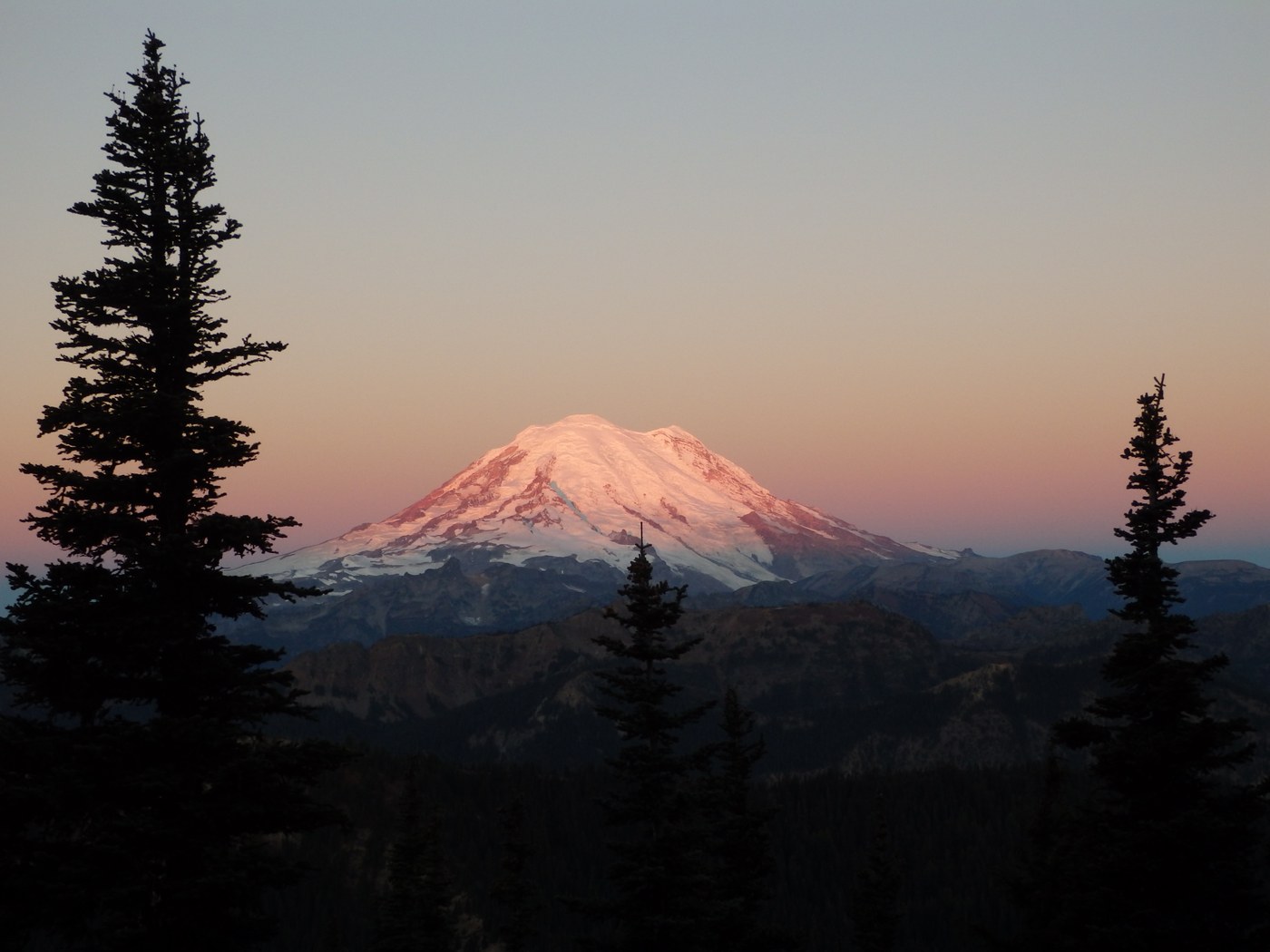
As the trail climbs up to point 6,946 (going west bound), the highpoint of the hike, that the trail spits multiple times, either an assortment of game trails or years of backpacker boots creating dozens of "social trails." It was hard to decide which is the right trail. It's not a big problem, in due time you find you're self climbing to the highest knoll (and it's more confusing for those going down). But once you reach the top there is an awesome view of Rainier.
I took the side trail to Cougar Lake and back, then continued on to the PCT junction for my turn-around point.
Comments